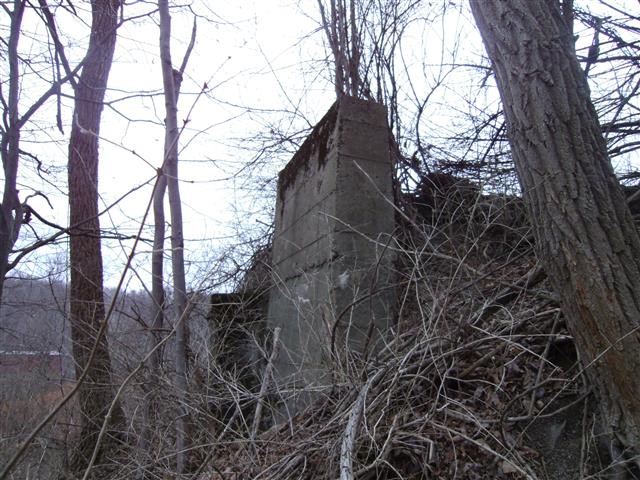
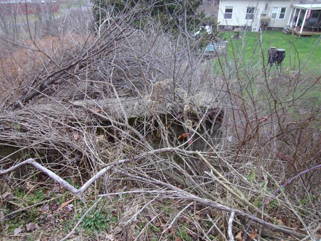
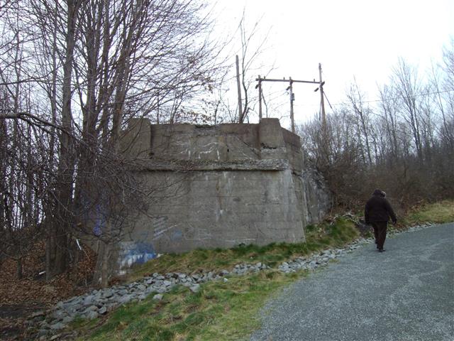
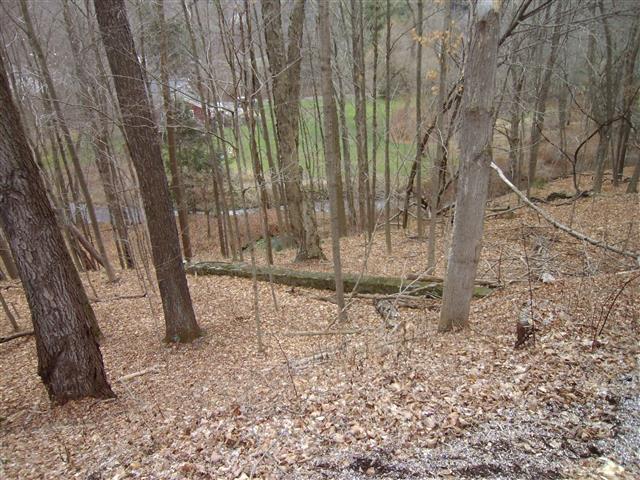
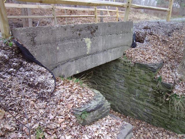
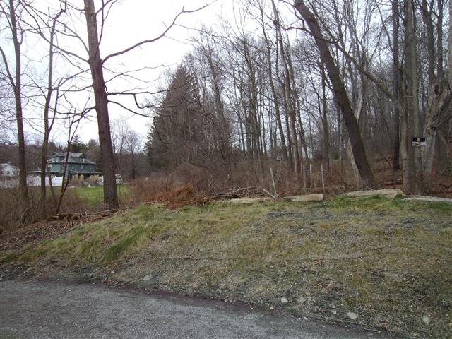
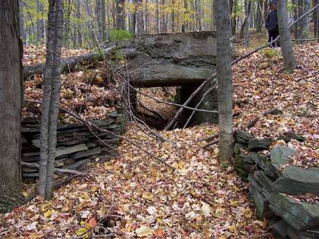
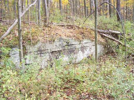
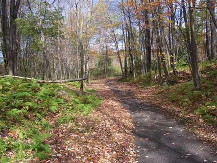
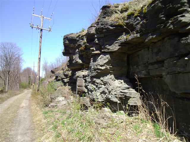
2006 Pictures
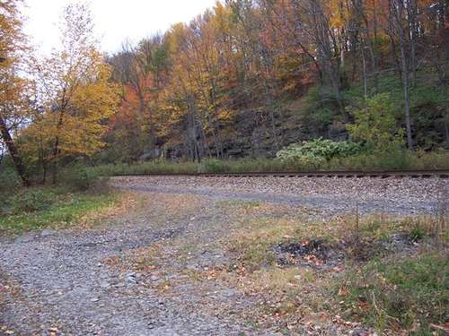
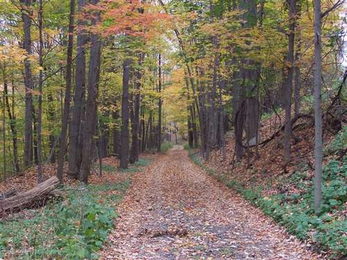
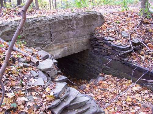


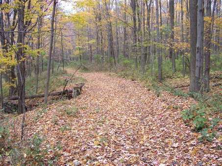
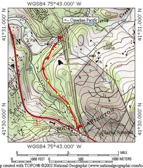
Map of area explored
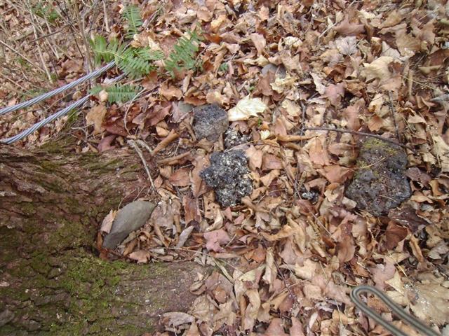
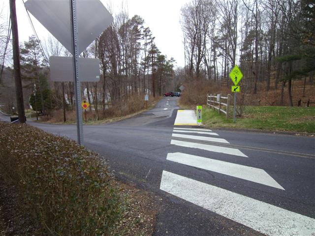
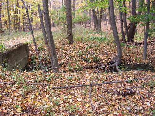
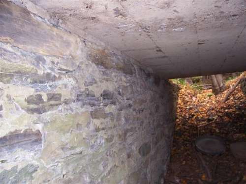
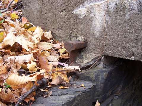
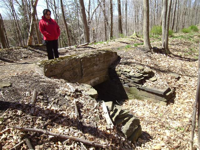
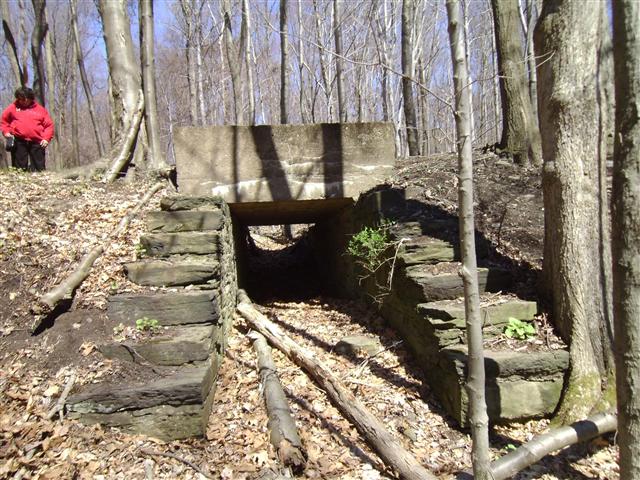
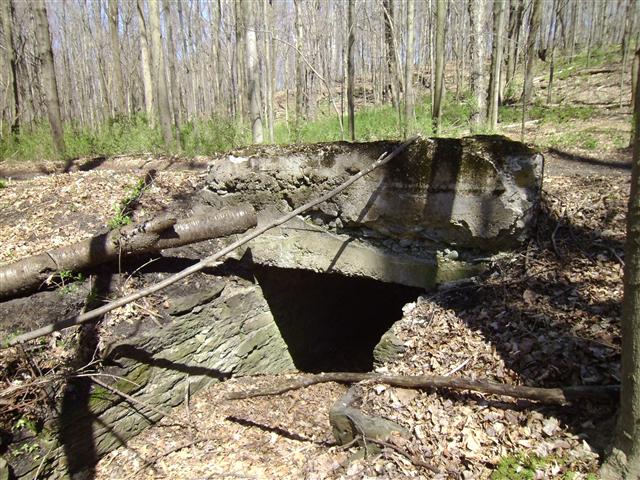
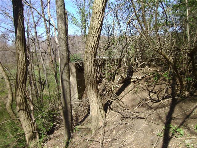
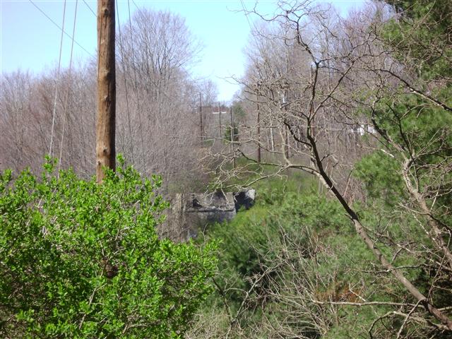
Yellow diamonds
indicate where the culverts are. The red diamonds indicate where
monitoring wells were found. The former Prescison National Plating site
is uphill from the railbed and probably explains these wells
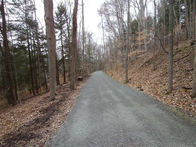
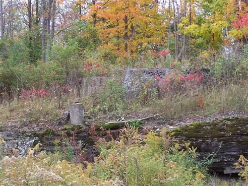
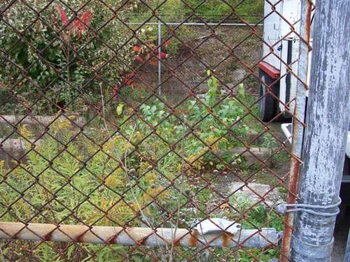
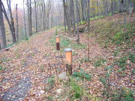
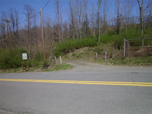
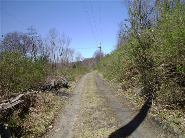
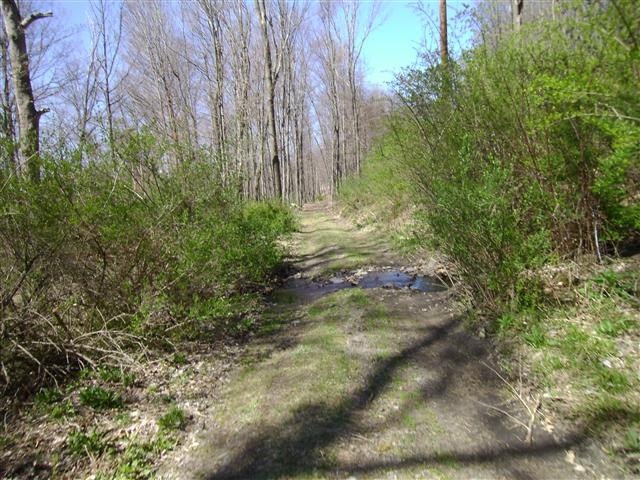
2012 Pictures
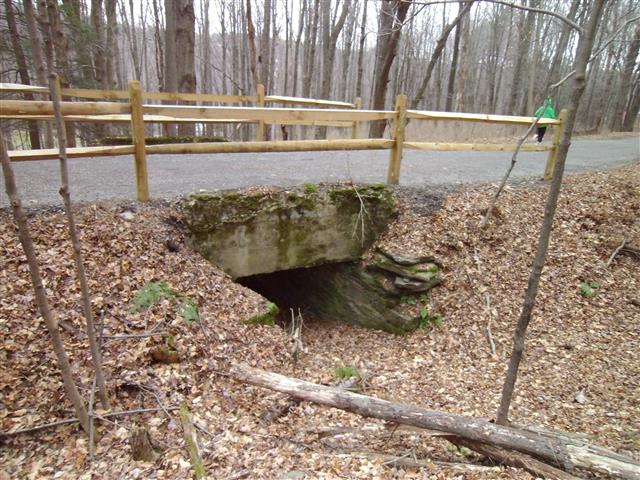
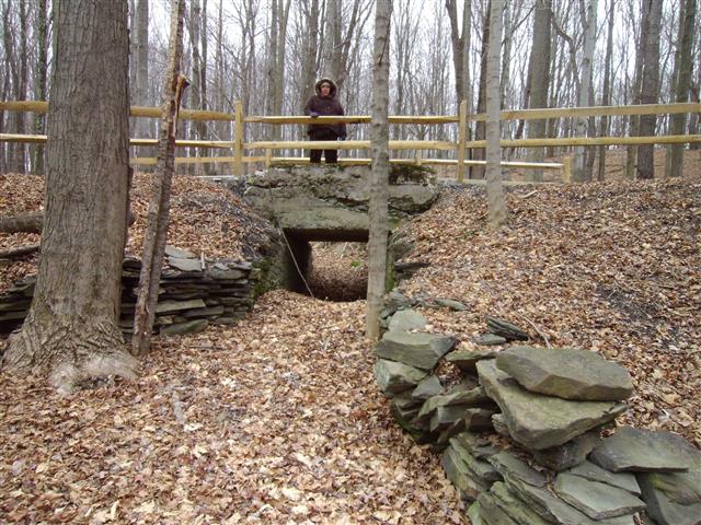
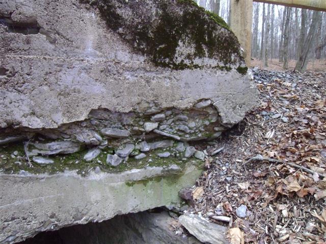
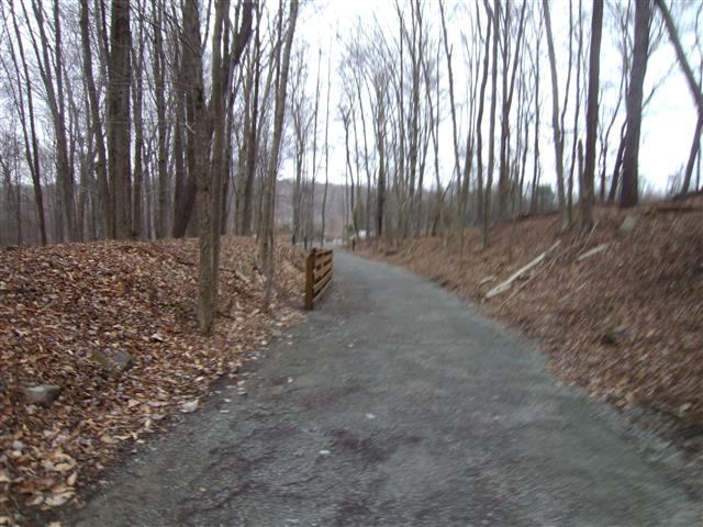
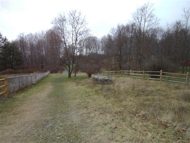
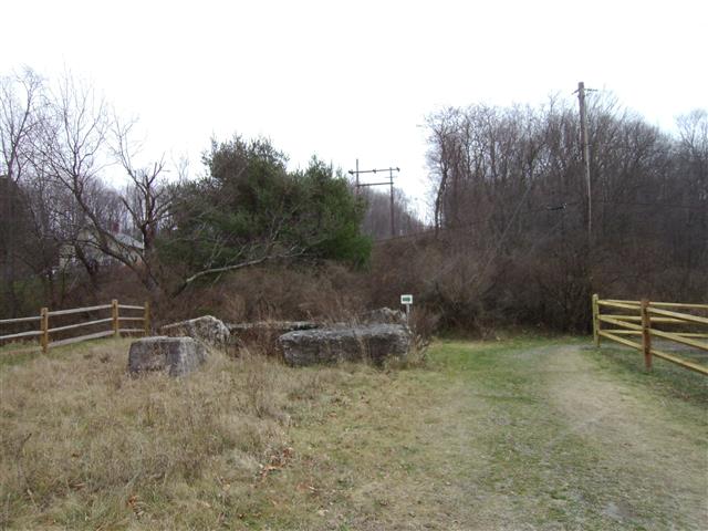
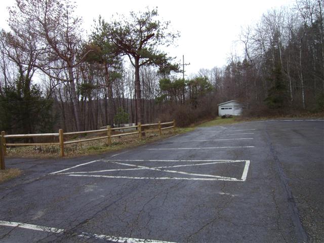
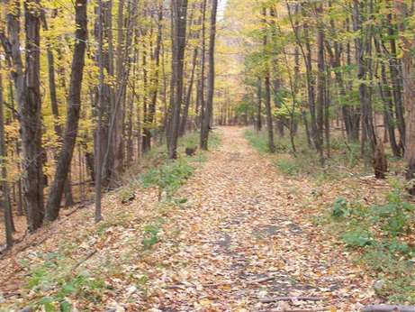
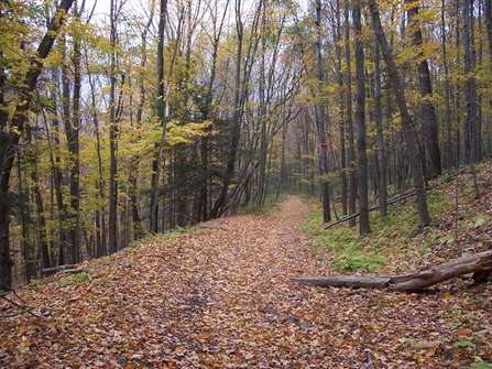
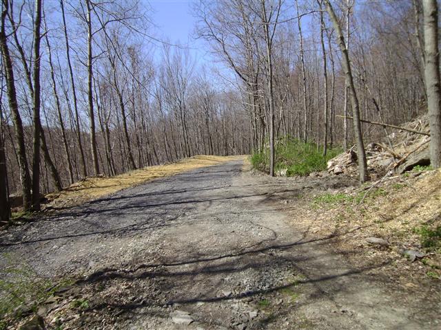
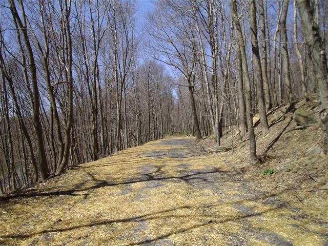
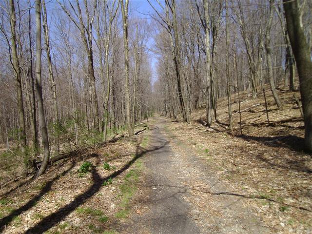
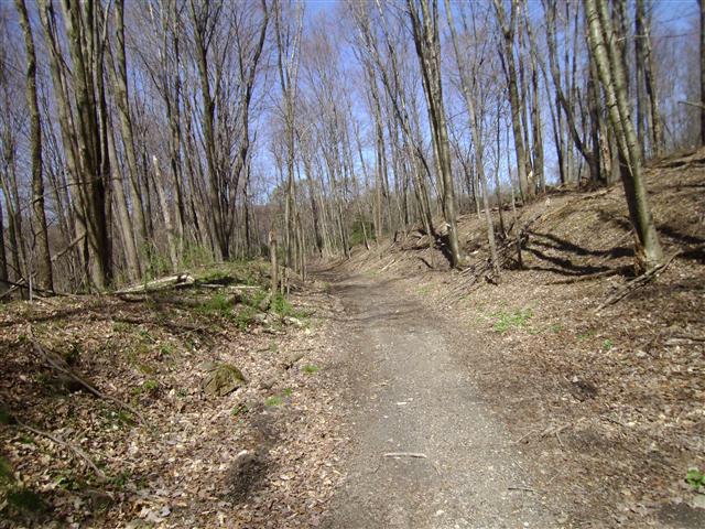
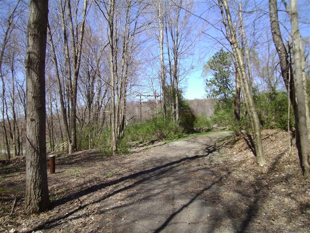
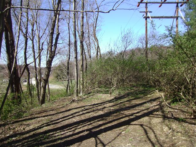
Recently the Countryside Conservancy was awarded a grant to develop this section of the railbed up to South Turnpike Road in Dalton. We went back to this section to get some more pictures before the railbed is developed.

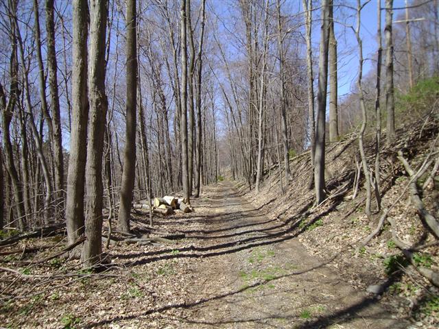
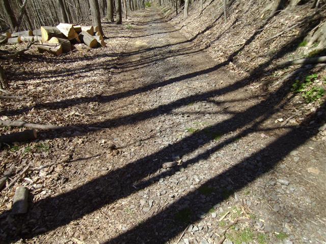

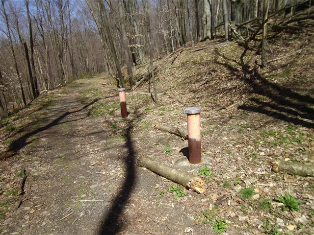
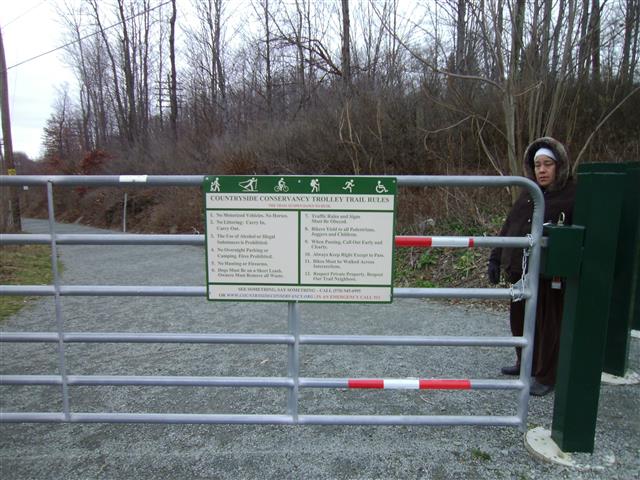
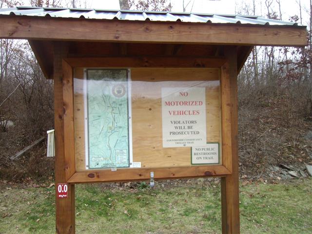
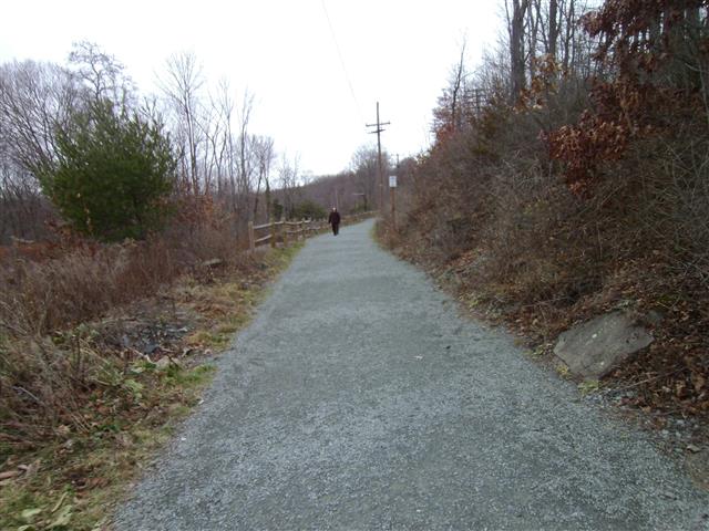
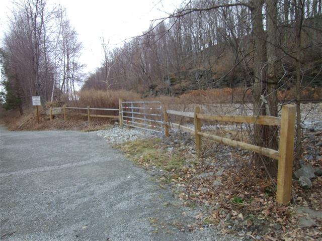
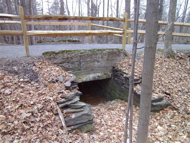
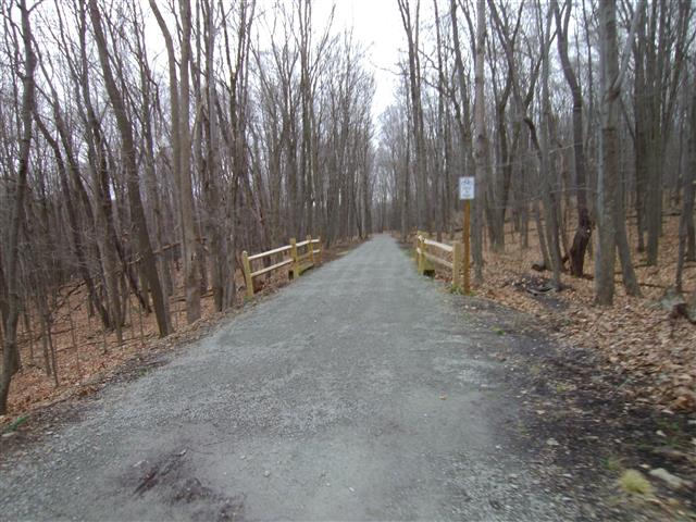
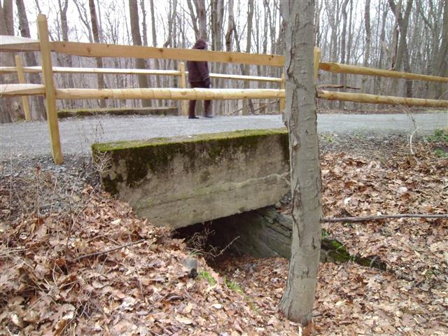
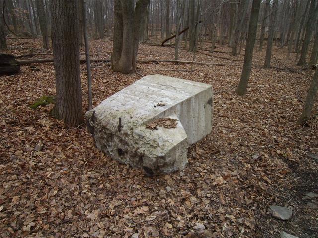
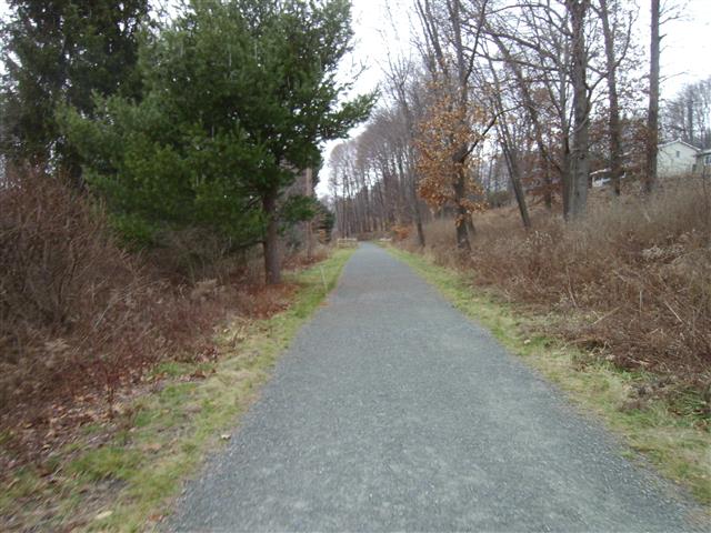
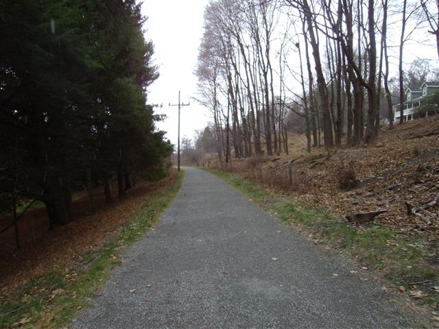
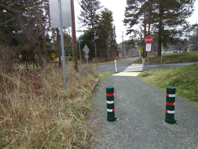
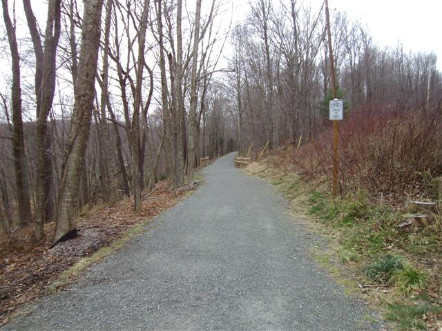
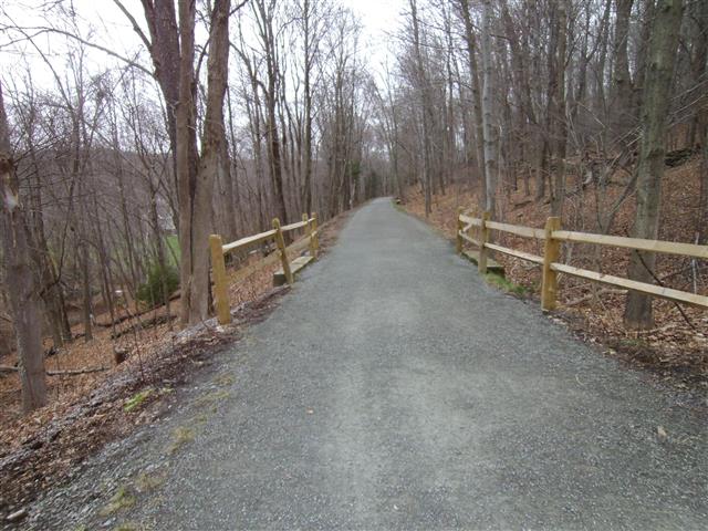
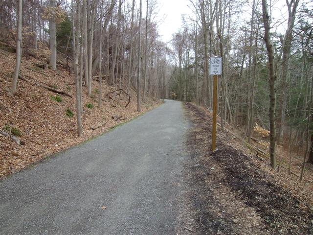
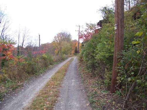
December 2015 updates
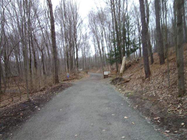
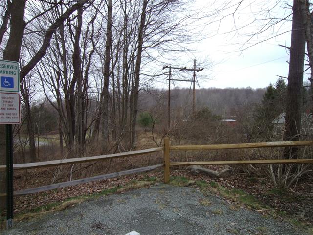
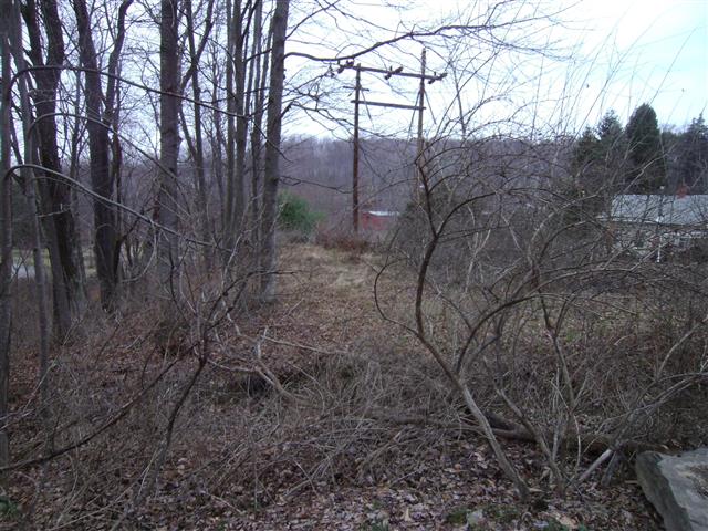
We went back to this section to look at the railbed since development. When we can, we like to photograph railbeds before development into a formal trail since in some cases artifacts are lost. In some cases, trails are paved over and look totally different.