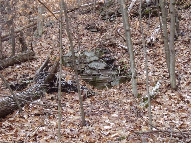
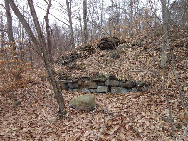
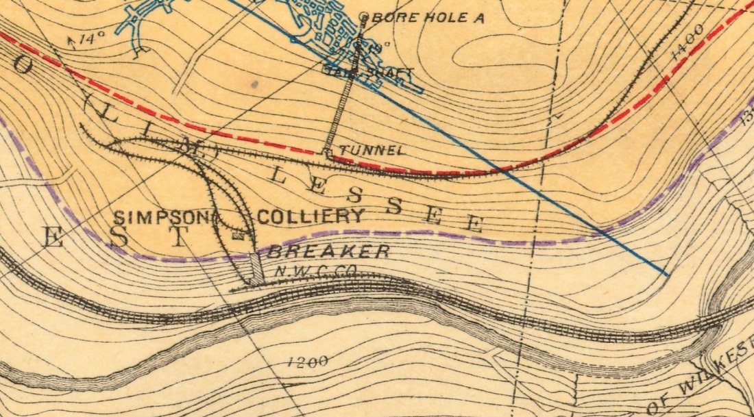
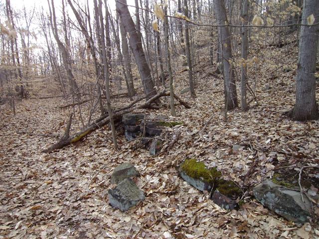
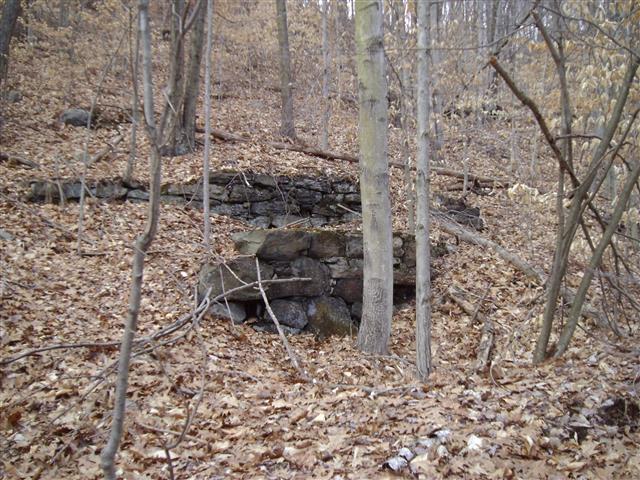
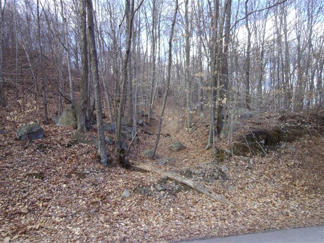
This is a valuation map from 1918 that on the right shows the start of the Northwest Branch. The large stone retaining wall is also seen here but the railroad bed is not shown. Apparently by 1918, this colliery was already abandoned and production shifted to the Northwest Colliery that both the D&H and OW served. Usually these are abandoned when the coal supply is mined out.
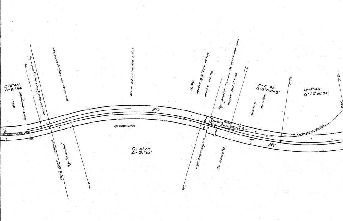

Mining map from 1888
This is a section of the survey map from 1888. The name of the railroad was called:
"New York, Lake Erie, and Western Railway (Jefferson Branch)"
"New York, Lake Erie, and Western Railway (Jefferson Branch)"
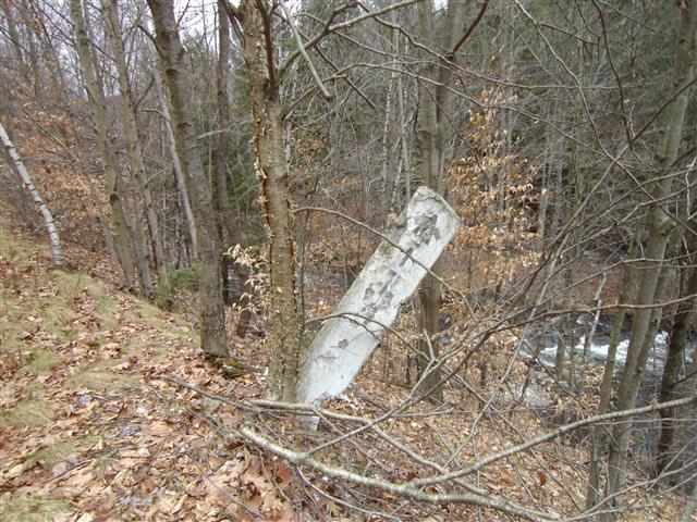
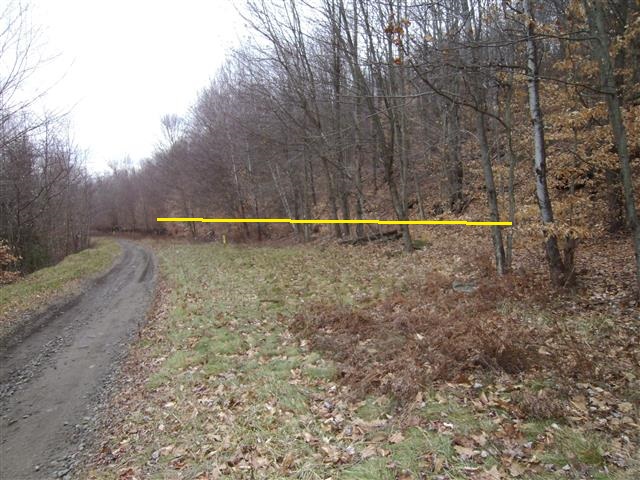
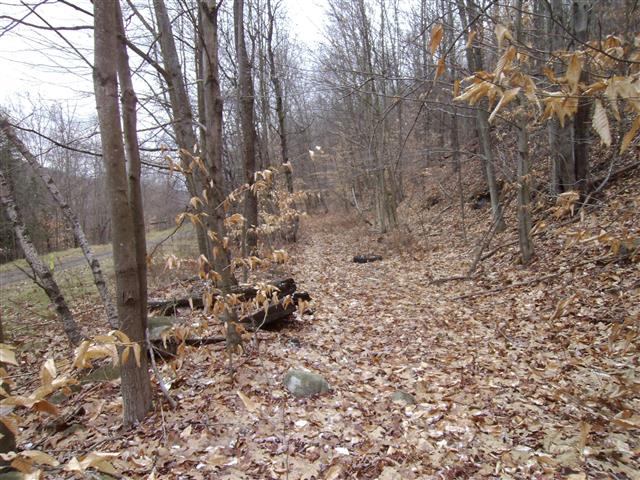
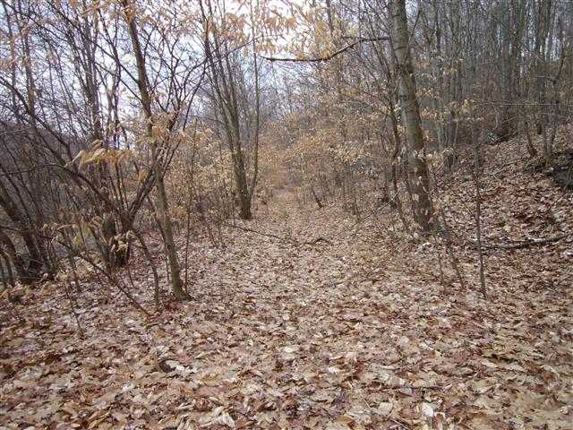
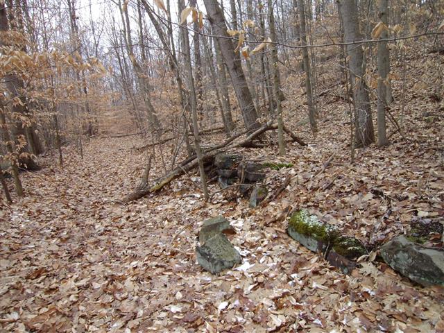
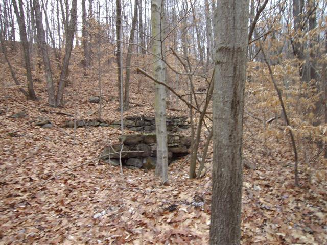
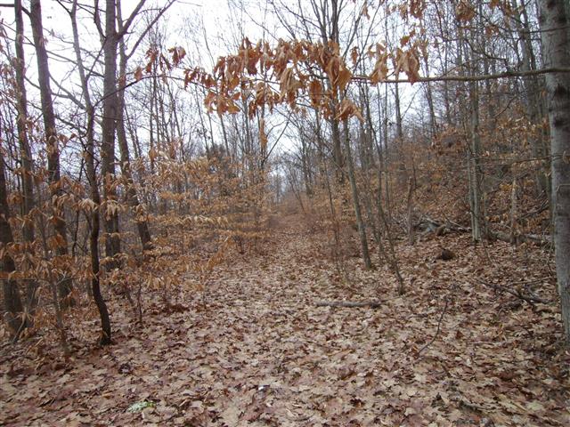
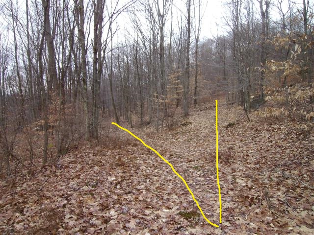
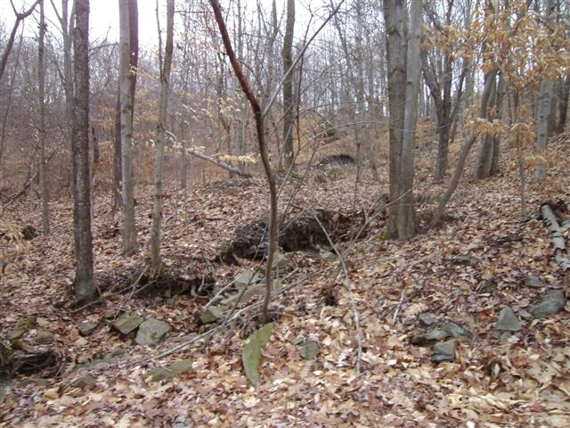
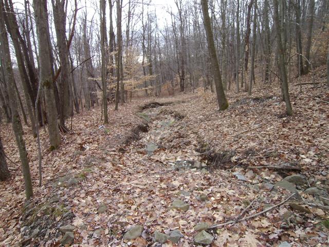
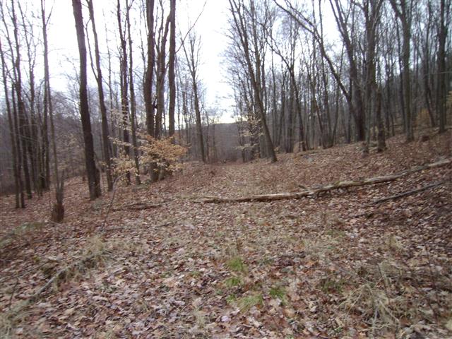
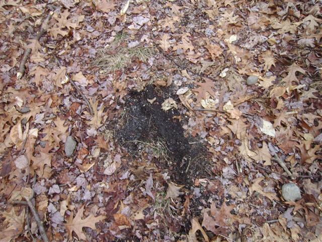
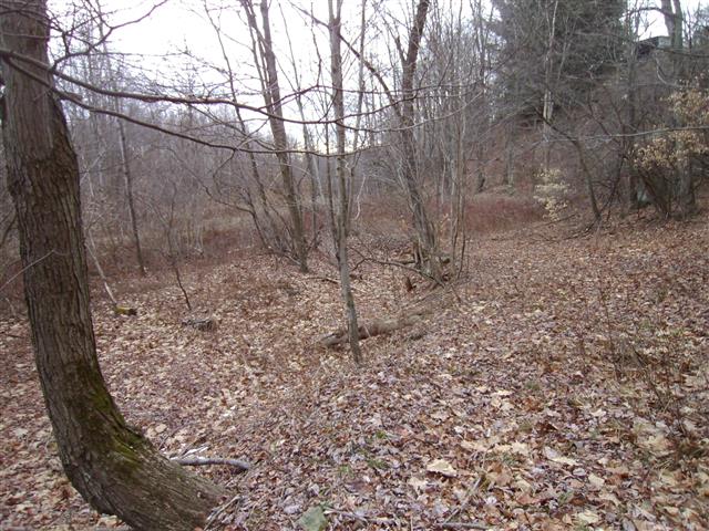
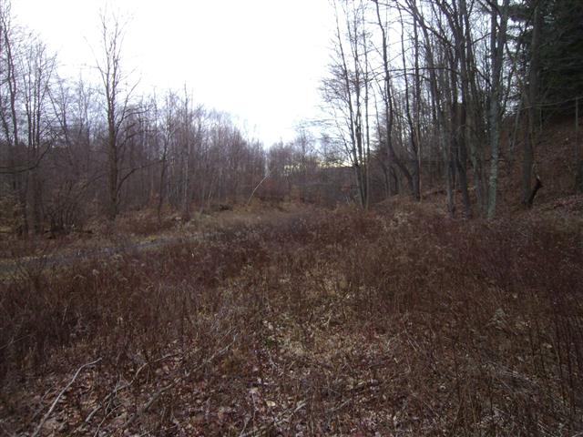
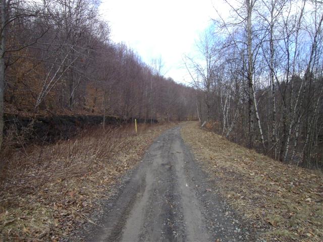
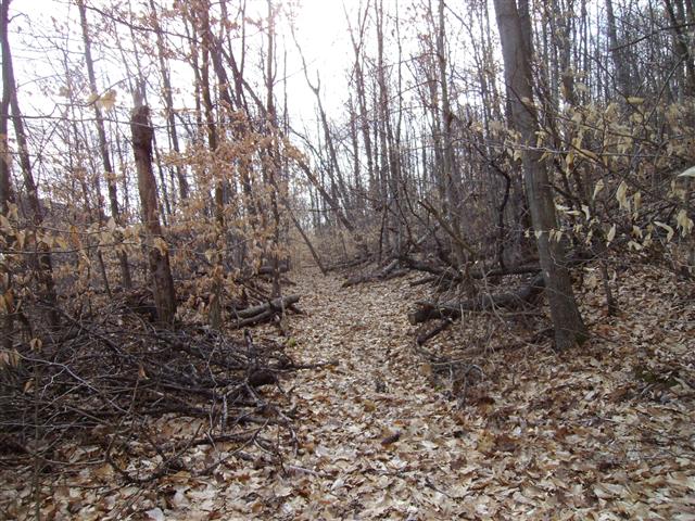
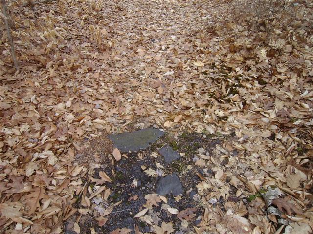
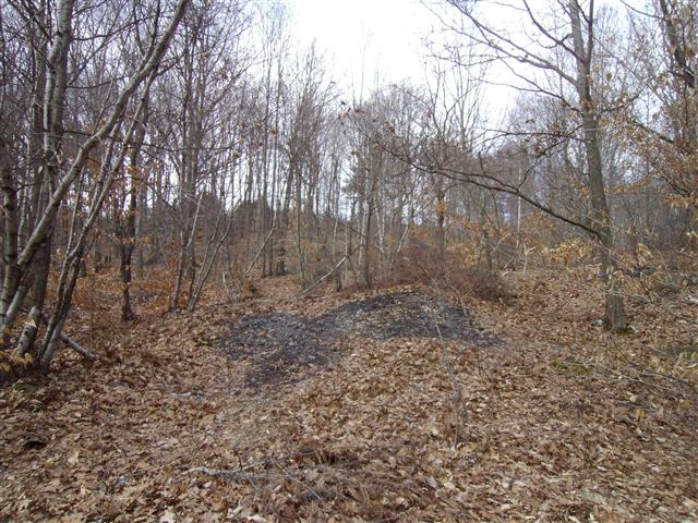
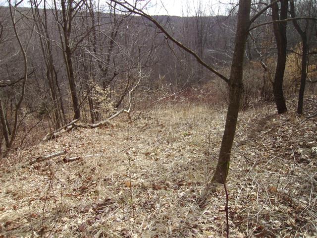
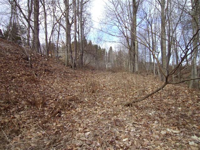
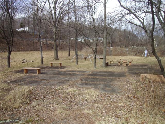
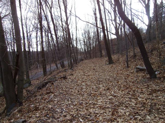
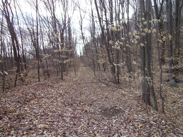
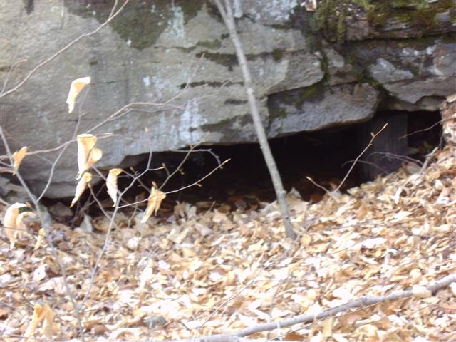
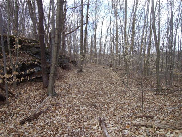
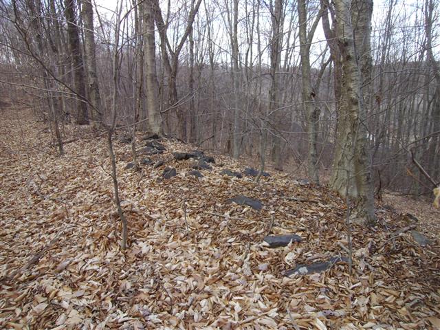
With the above map, I returned to the area to see what else can be found. Since this was abandoned so long ago, I was not expecting much.


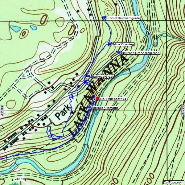
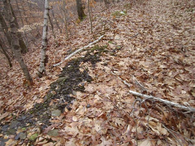
Tracking data from GPS showing what was found