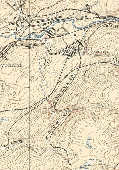
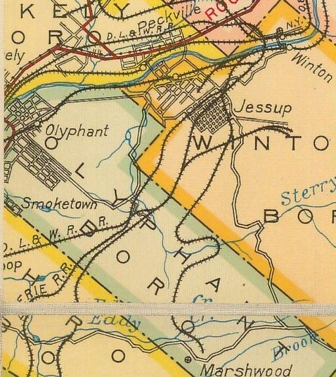
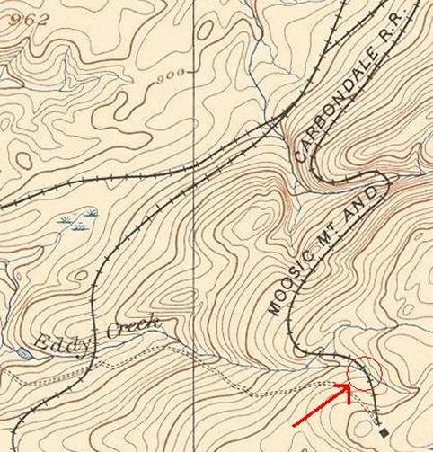
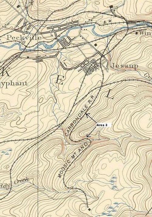
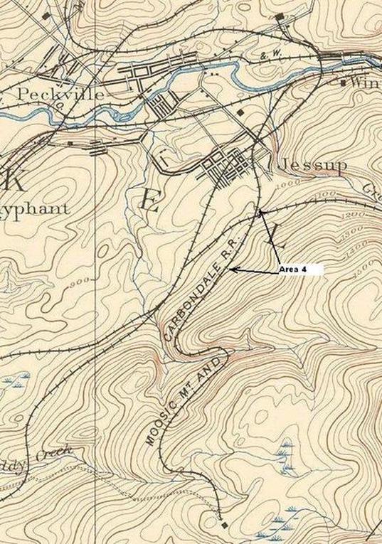
This is a section of an 1891 USGS Topographical map showing this railroad line. Development has made exploring this line extremely difficult as only parts of it are left. A newer GPS program I am now using called "ExpertGPS" has finally allowed me to put these pieces together. These pictures were taken over several trips and by using this program with this map overlayed plotting data. It now makes it possible to determine where this railroad line was. There are other roads, and such has made hunting this down very hard.
This is a 1923 road map from PennDot's site. It shows the line comes close to Route 247 but never crossed it. This was an important piece of the puzzle to determine the southern section which was abandoned first.
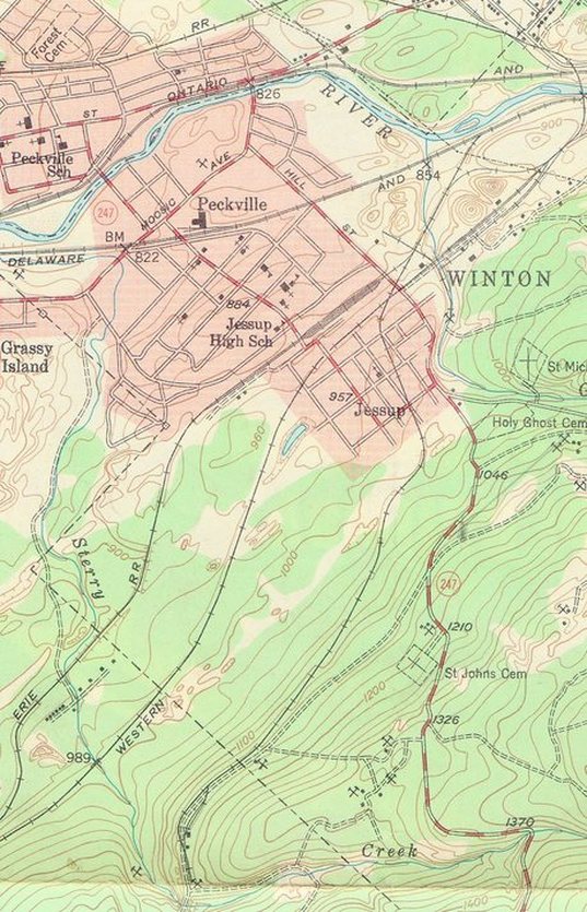
This is a section of a 1946 USGS Topographical map. This shows by this time the railroad line was already cut back to the site of the Dolph Colliery. This is the site of the present day Olyphant Mine Fire. The work involved to contain this underground mine fire has also disrupted the area.
Marshwood Colliery (2023)
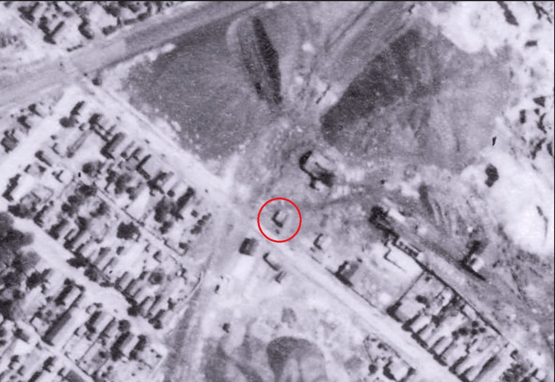
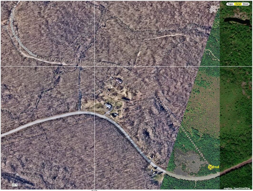
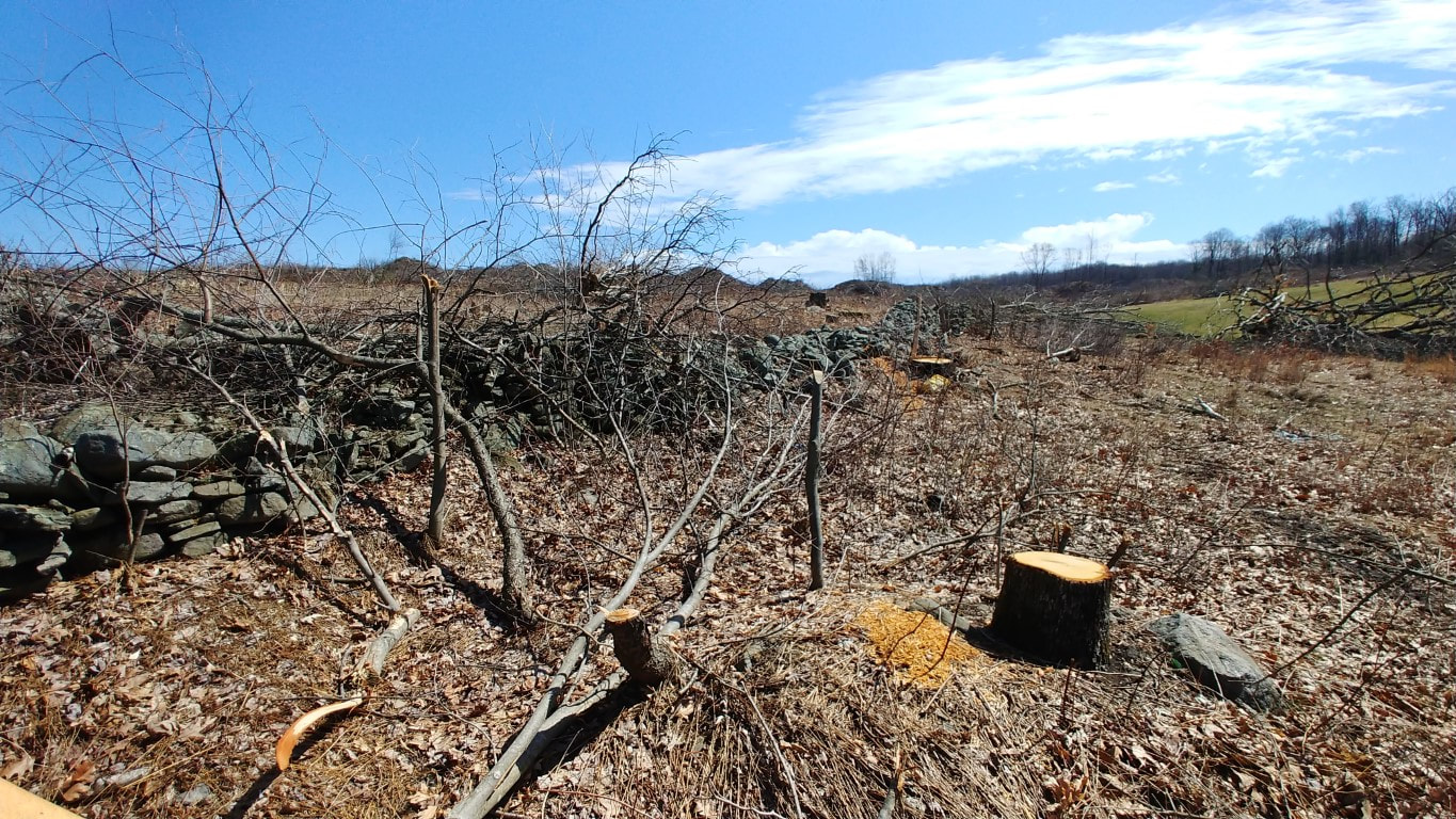
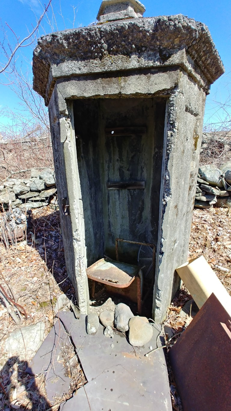
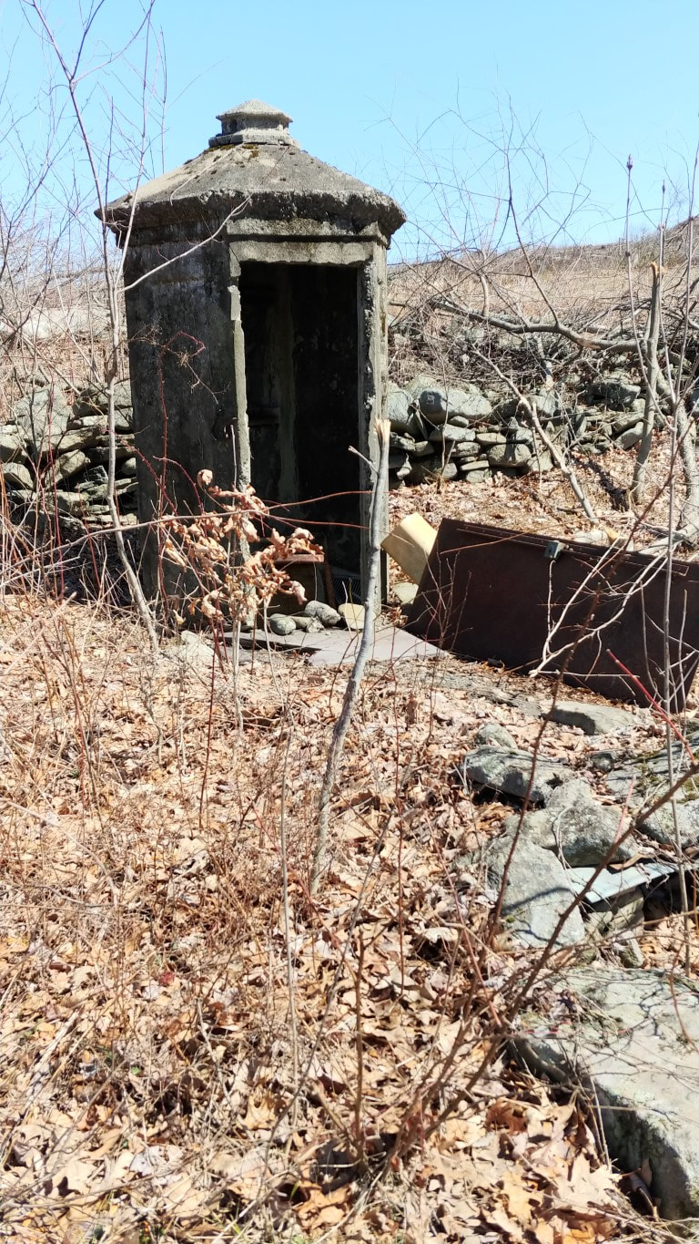
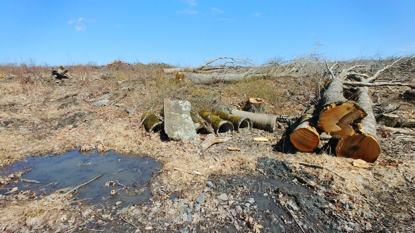
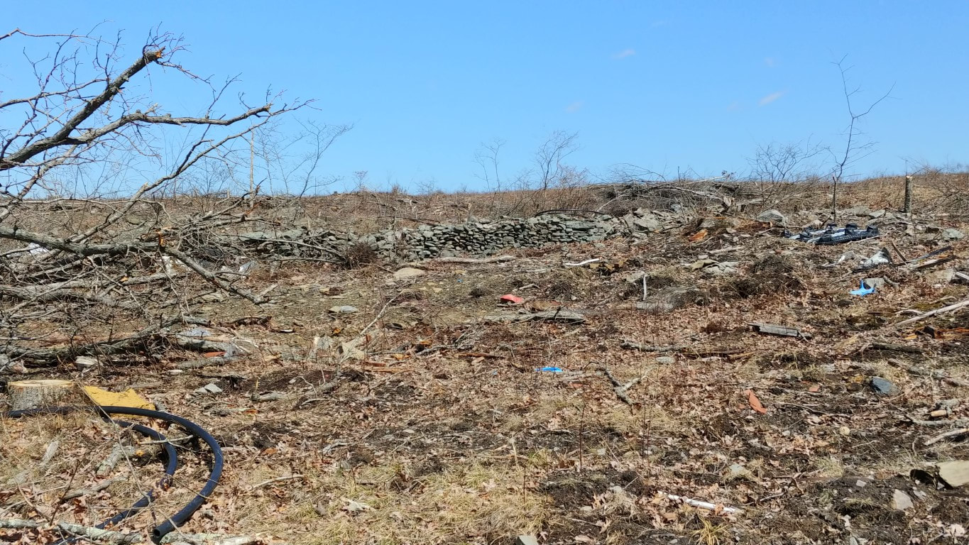
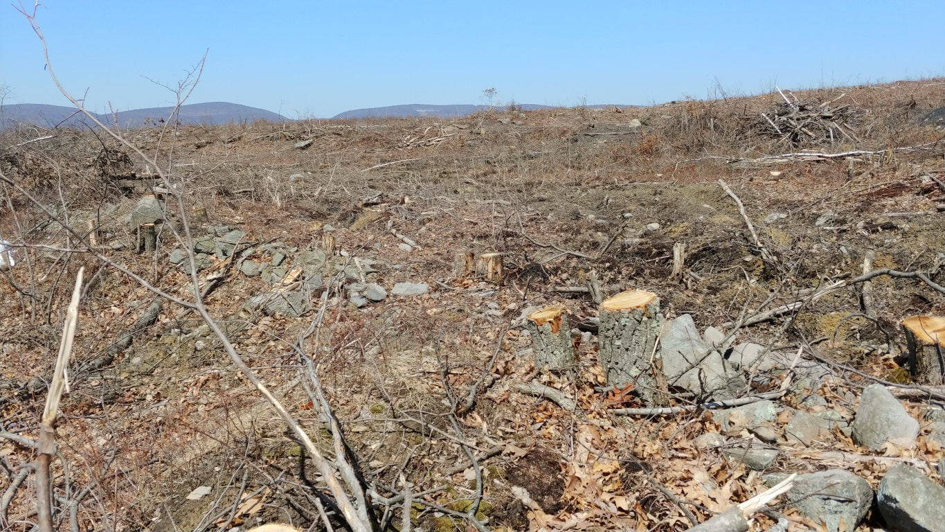
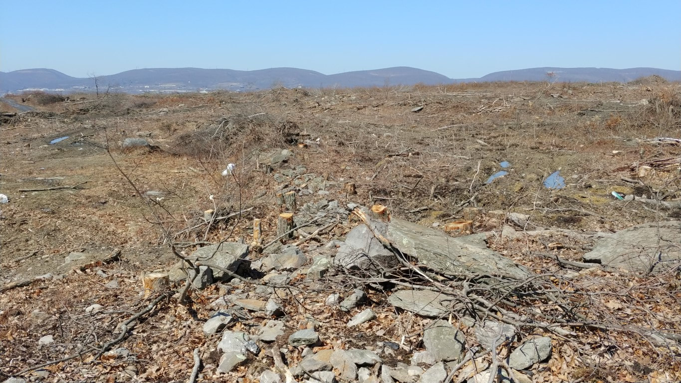
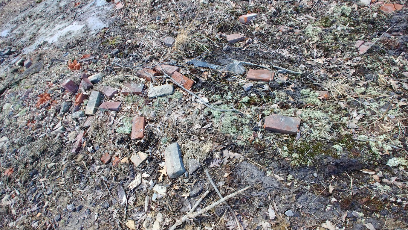
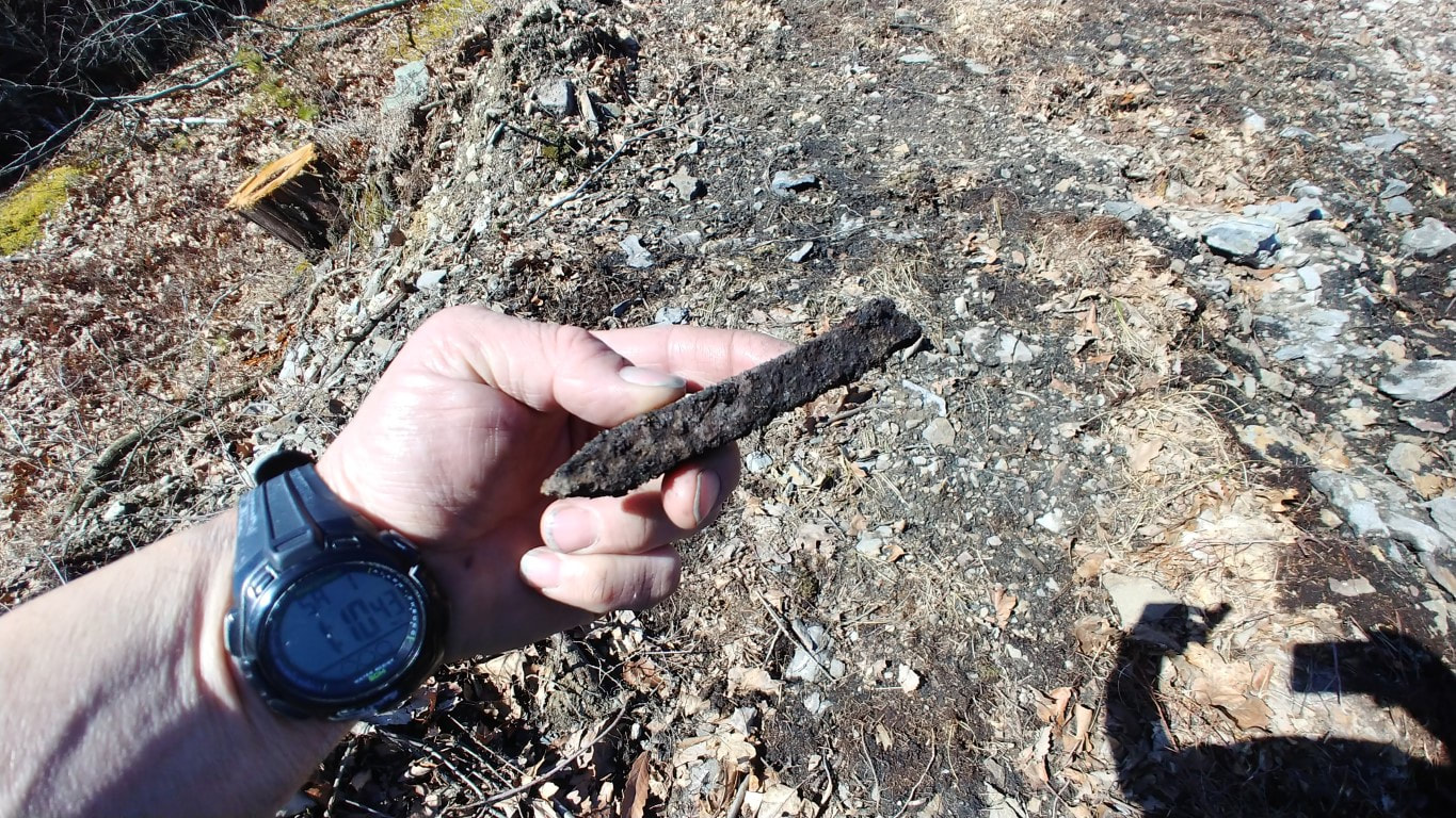
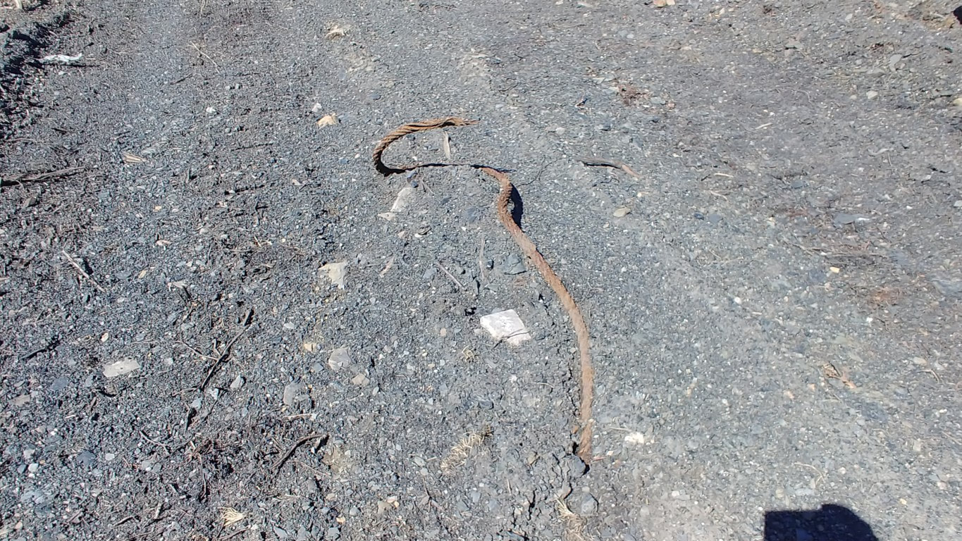
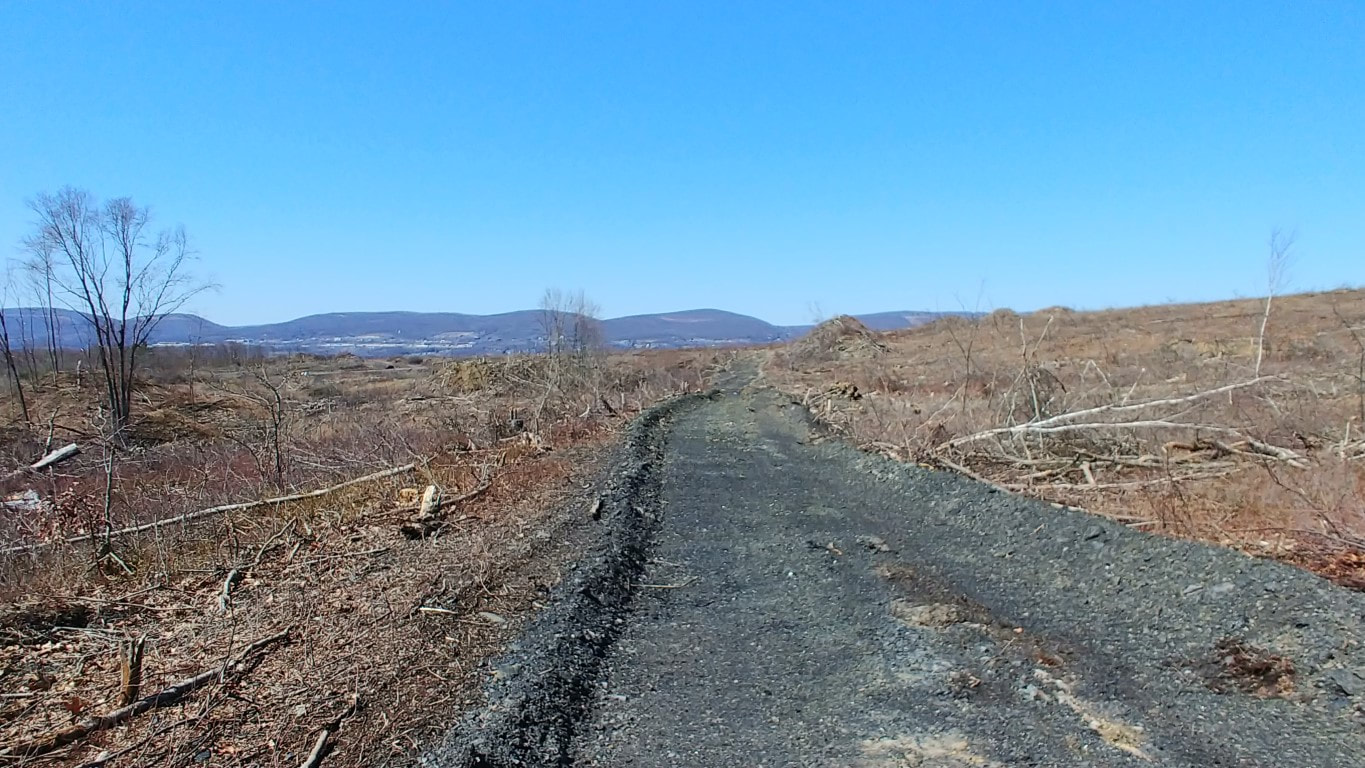
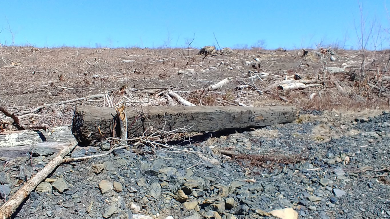
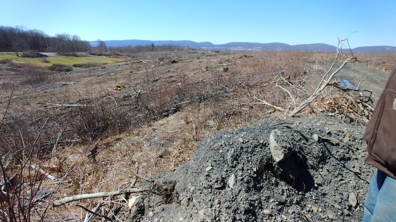
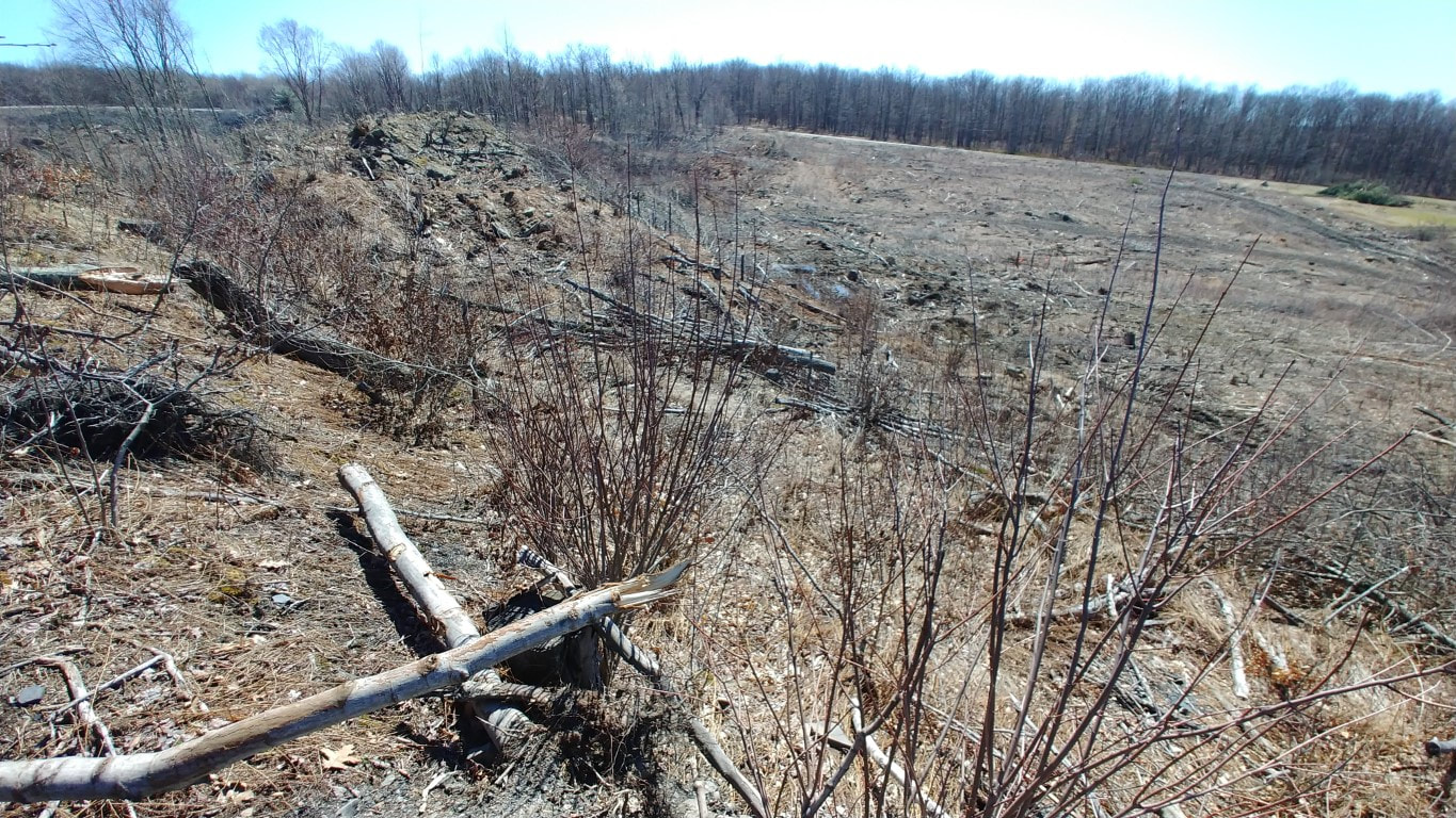
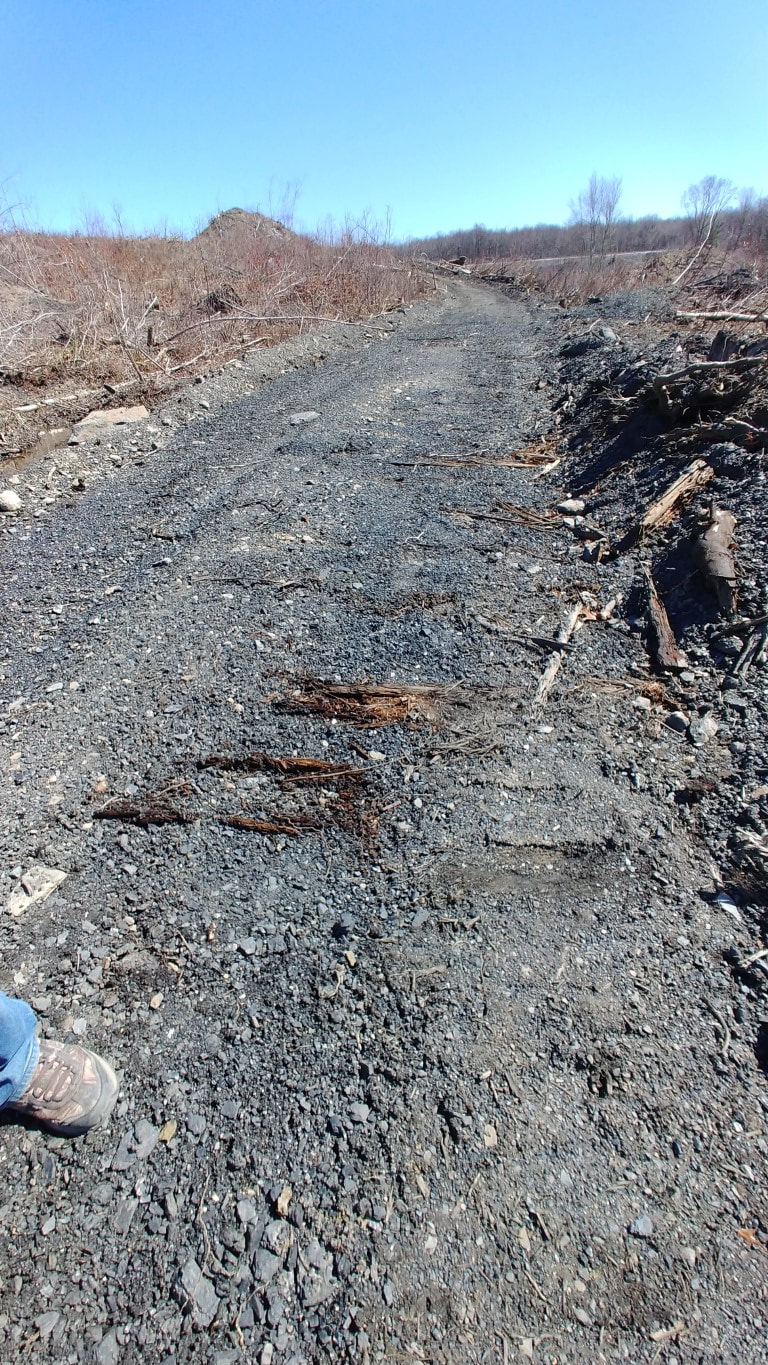
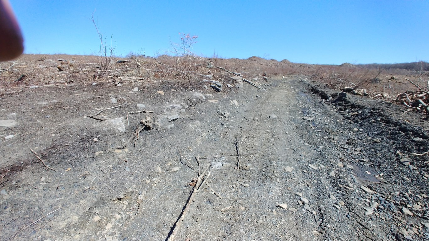
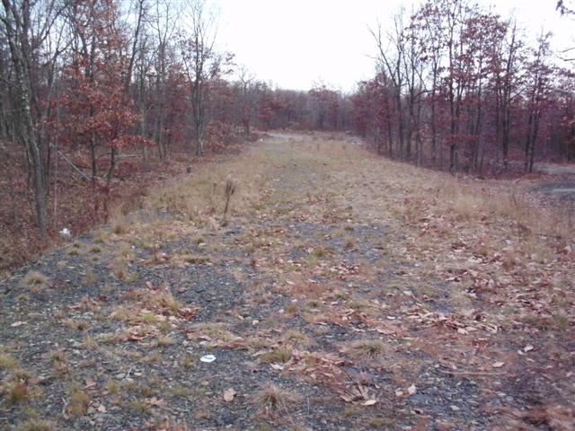
This is the most southern part of this line. This has been inaccessible for years because it was on private property. Recently the property was bought out and the entire area is being razed and developed. This was the section abandoned first when Marshwood closed in 1924. This also means there was only a narrow opportunity to look for traces of this section before it is eradicated forever. Below shows a recent aerial image (before the property was bought out) with the route of the railroad overlay-ed.
PLEASE NOTE: The area has recently been posted and is patrolled. Anyone who crosses into the property is risking a fine. It is best to stay away from this area.
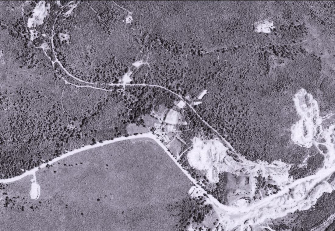
1939 aerial image of the area
NOTE: The colliery was already abandoned


Drone video of the Marshwood Area
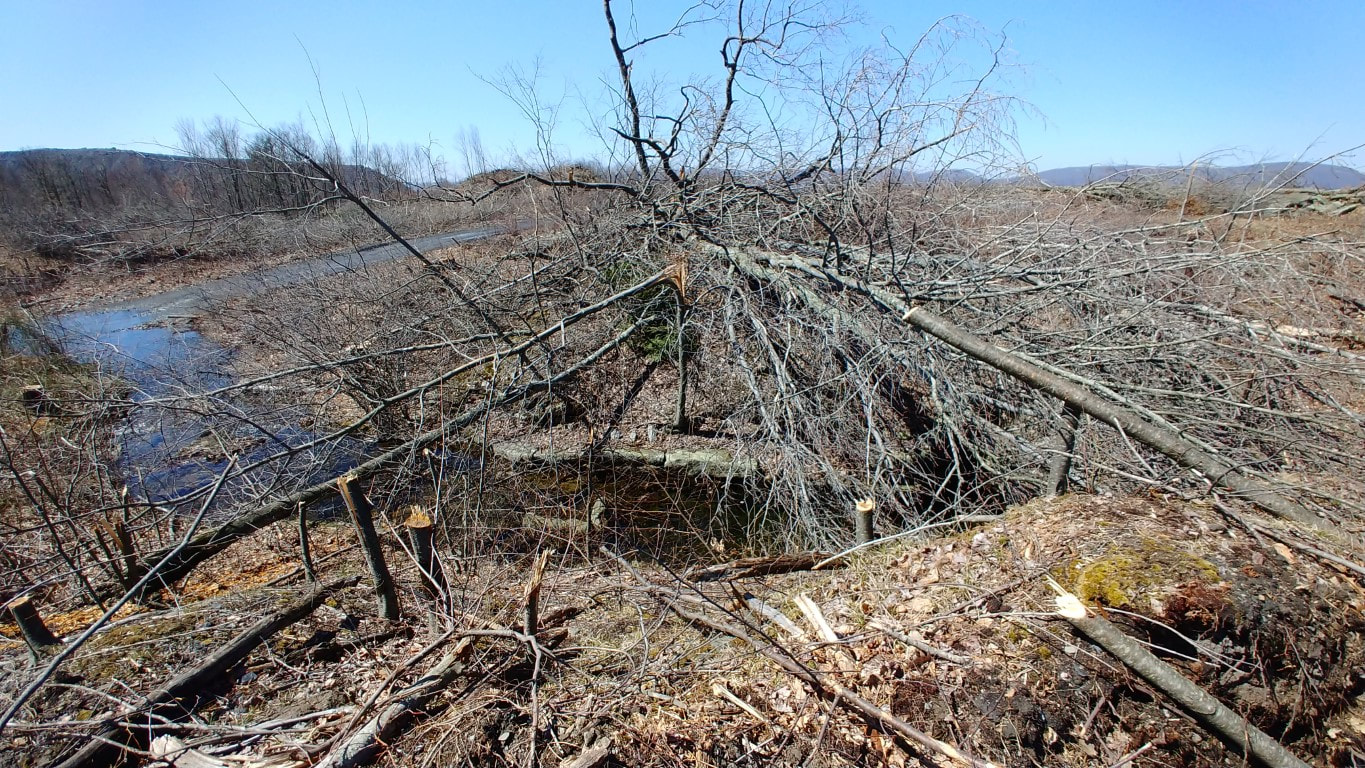
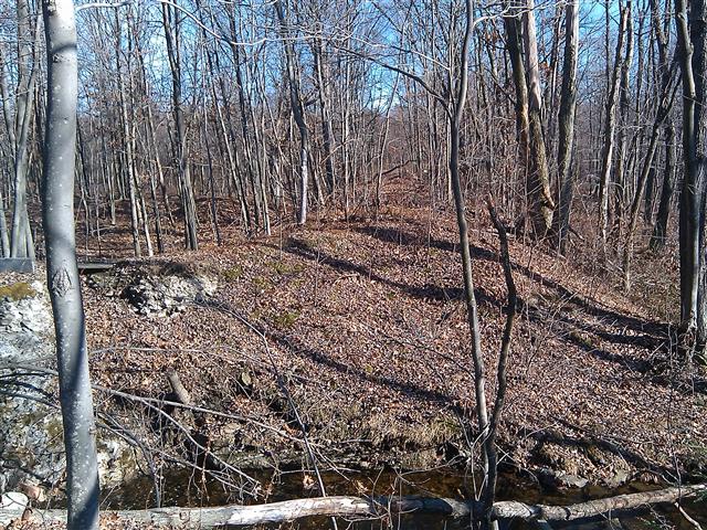
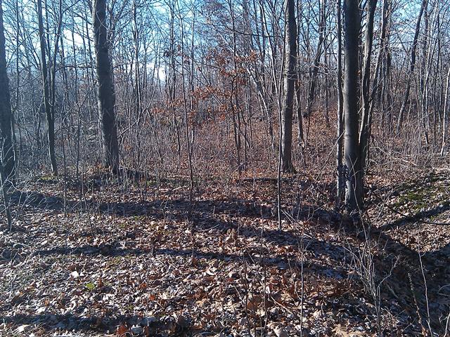
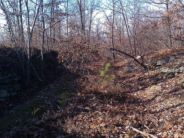
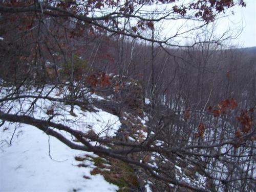
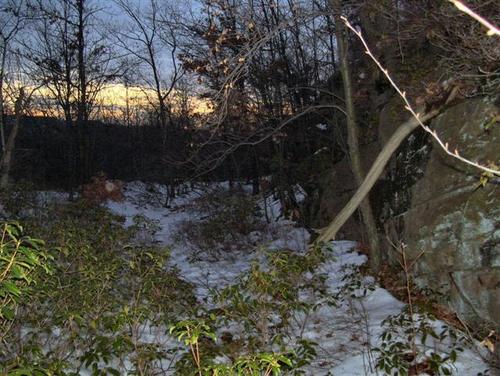
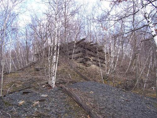
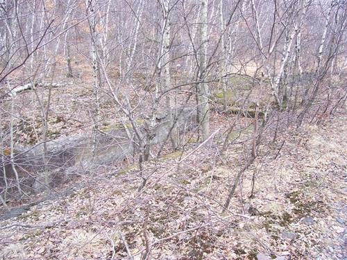
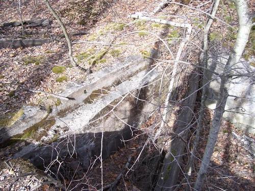
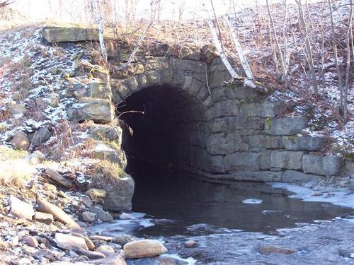
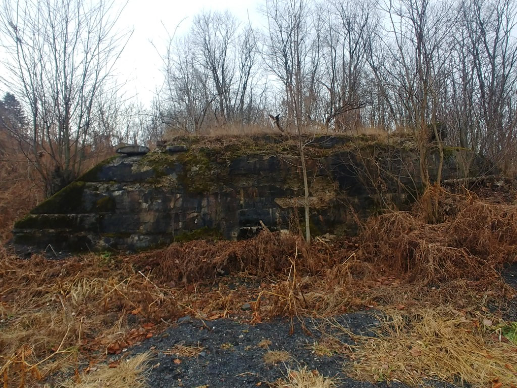
Eddy Creek Crossing (Southern end)

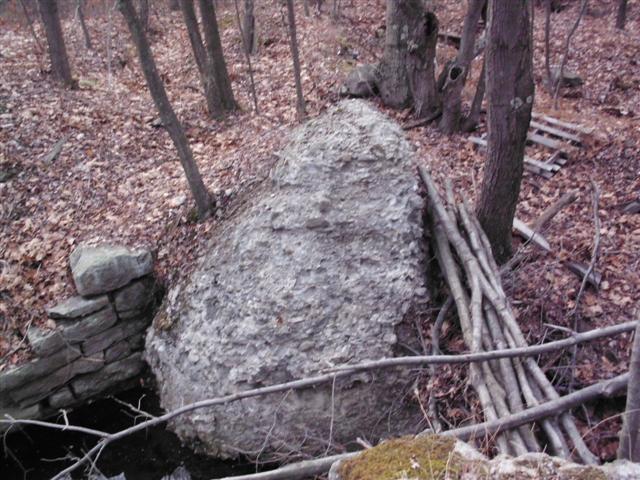
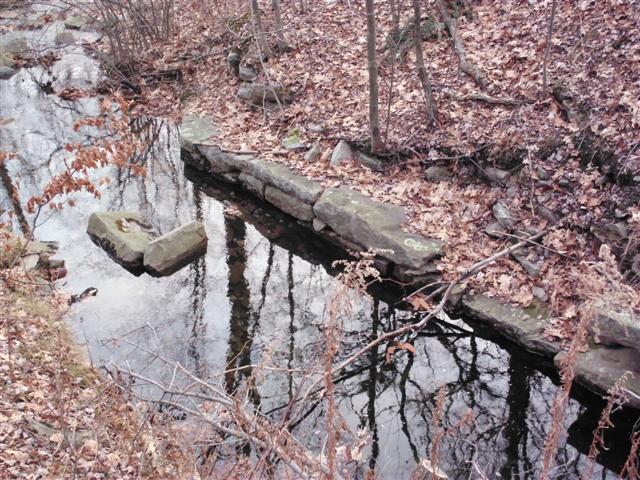

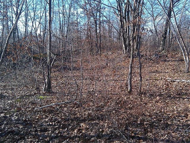
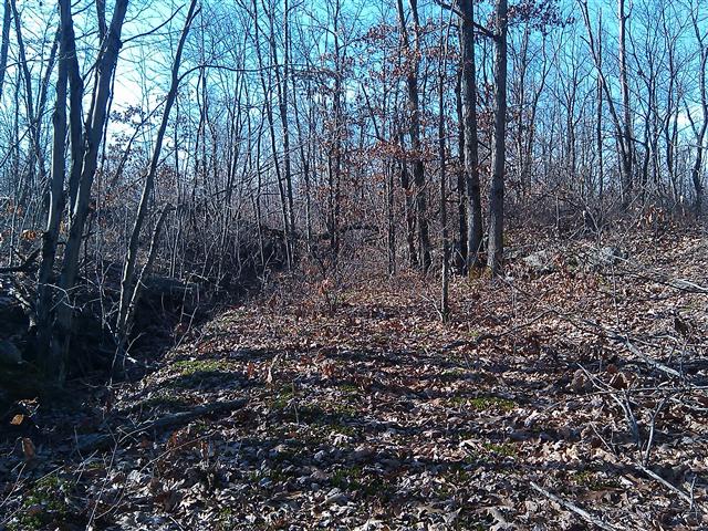
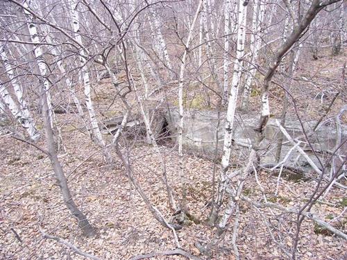
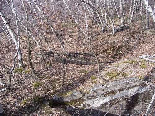
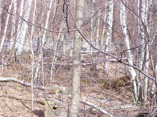
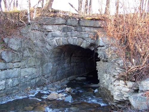
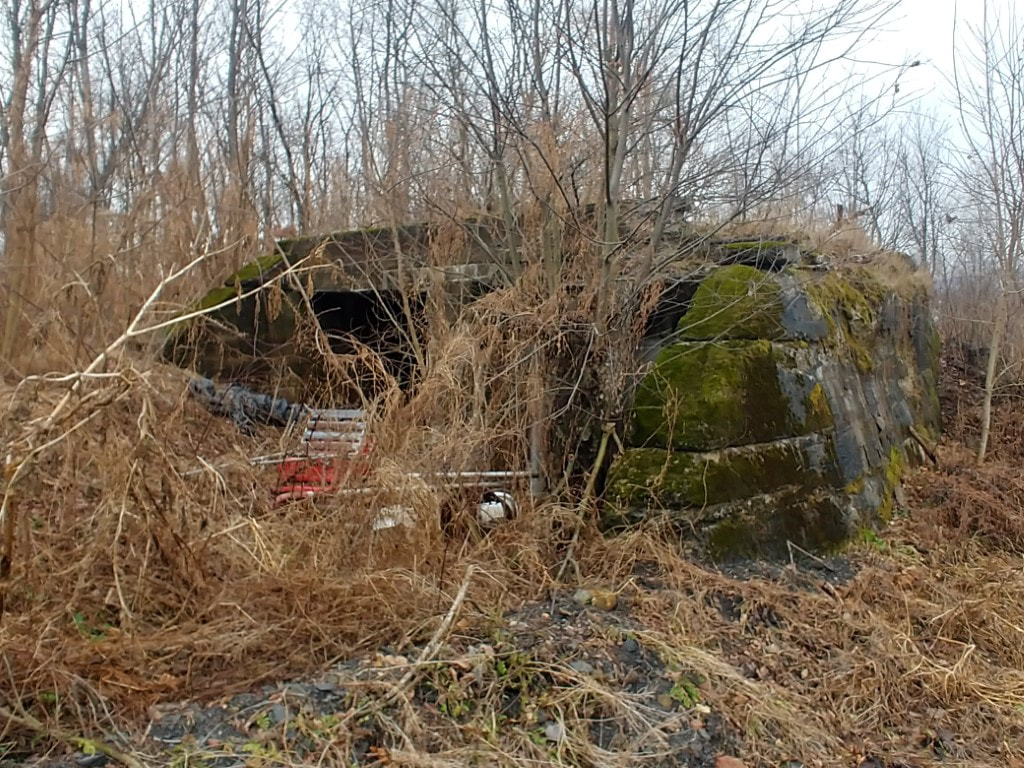
Eddy Creek crossing (Northern side)
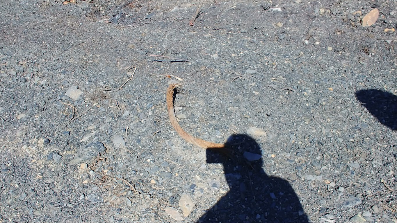
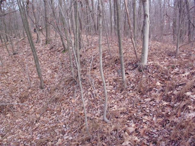
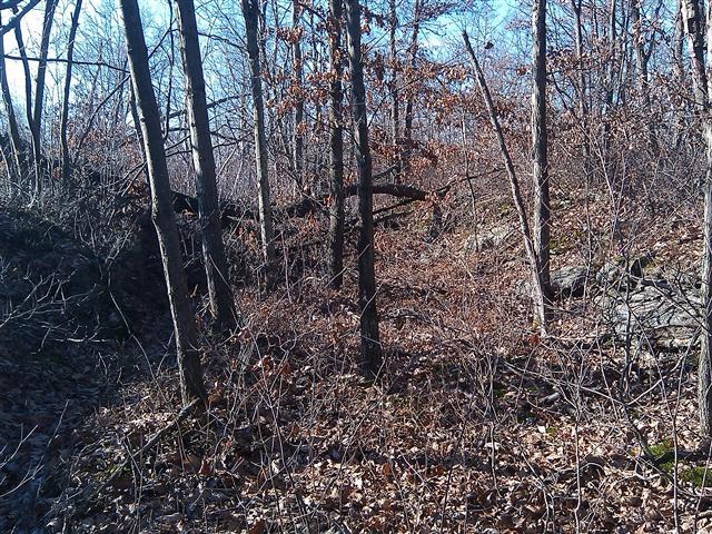
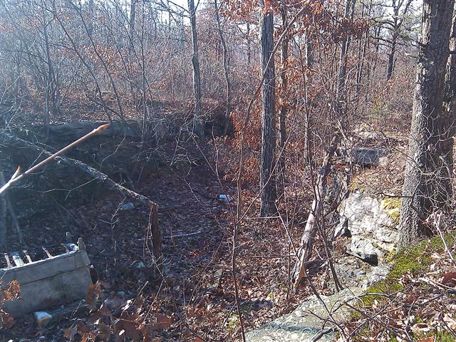
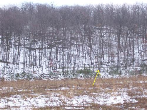
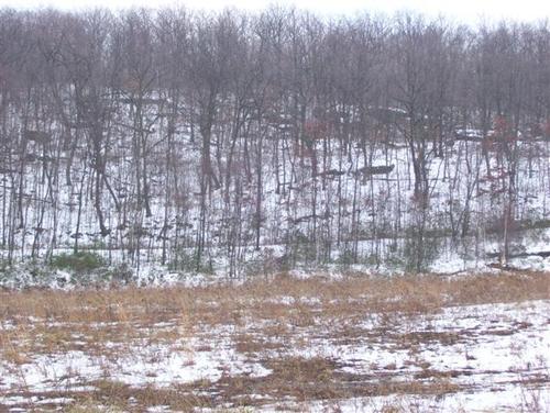
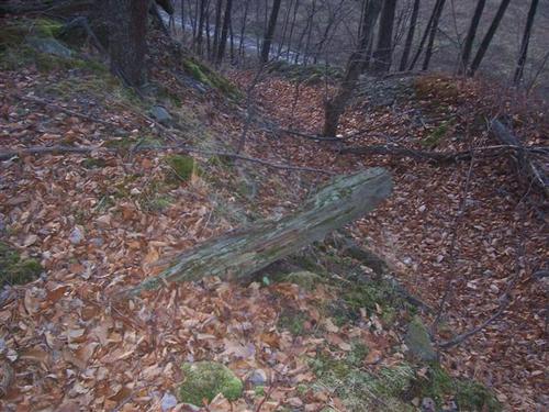
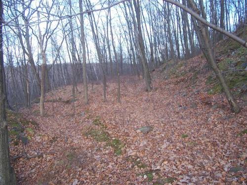
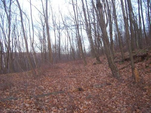
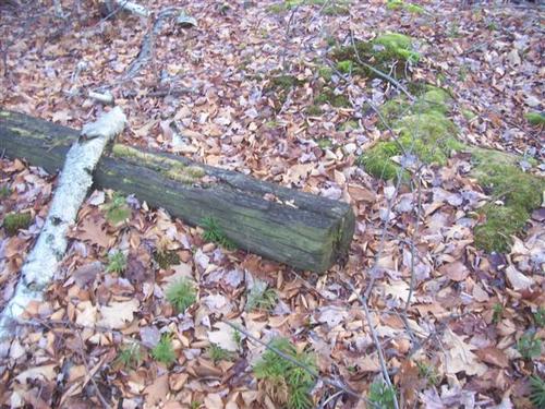
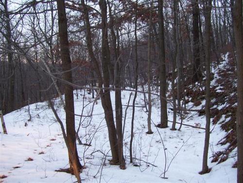
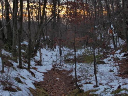
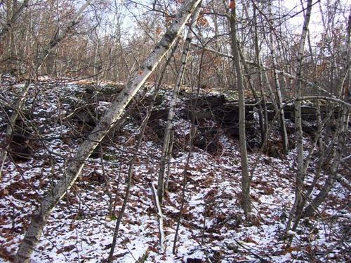
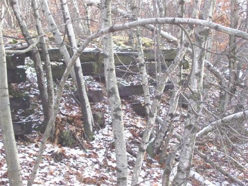
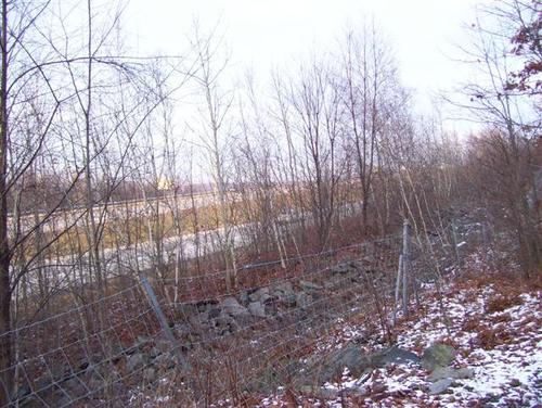
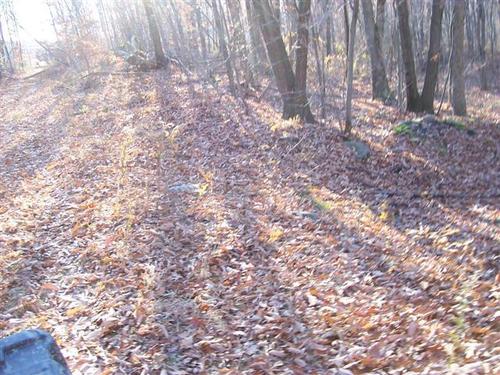
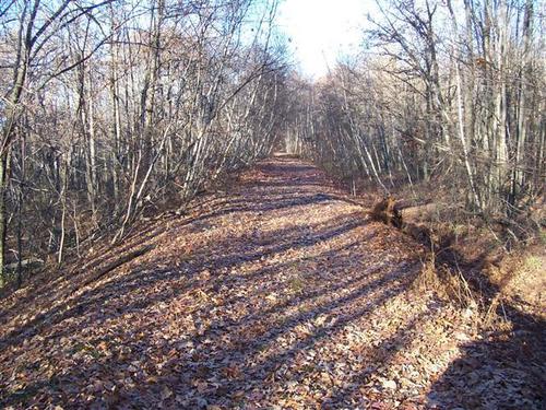
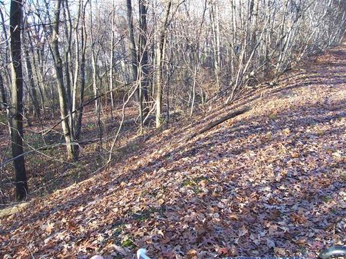
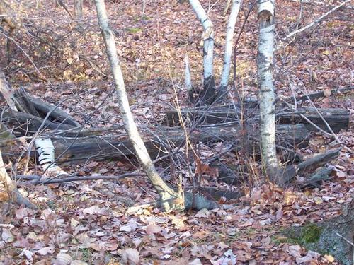
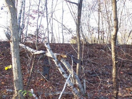
With the growth down, I went back to look at the Eddy Creek crossing to see if the railbed was still present from Eddy Creek to where it was developed into an access road. A section of it was found despite the heavy growth which made part of it impassable.
(Pictures taken 11-25-2011)
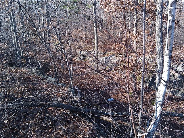
(Pictures taken 11-25-2011)

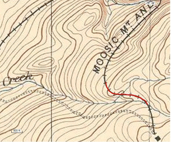
Map of this small section
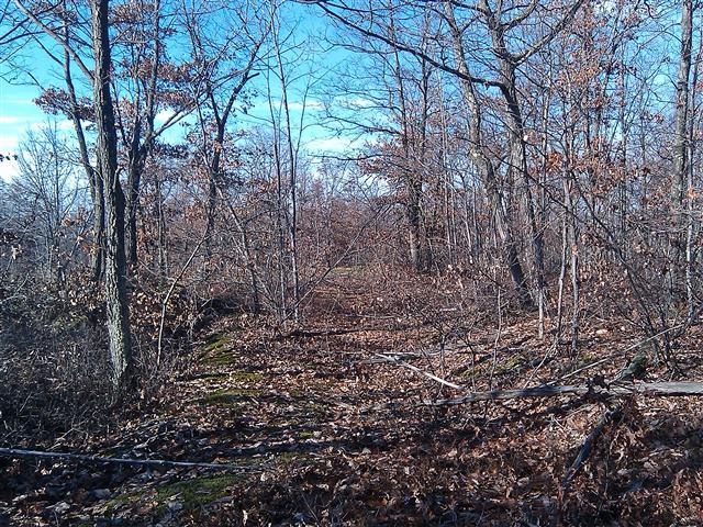
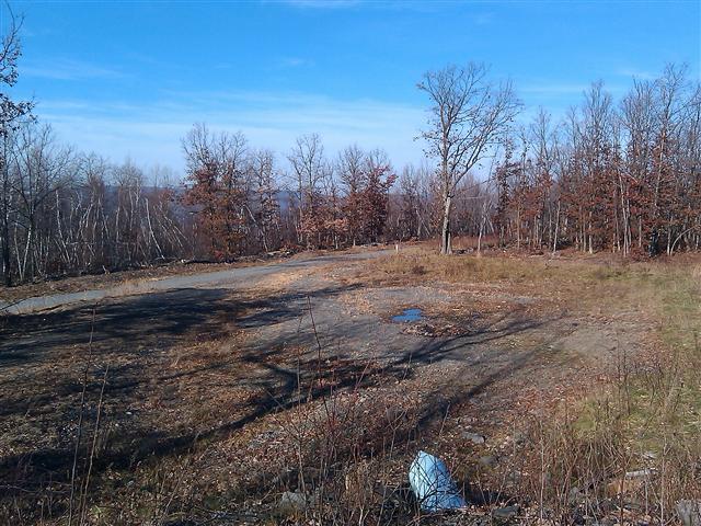
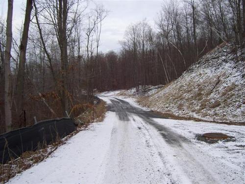
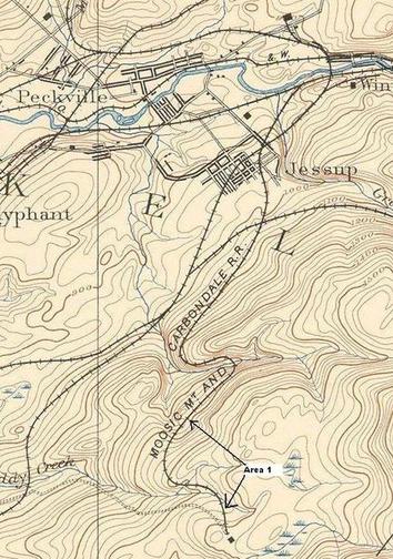
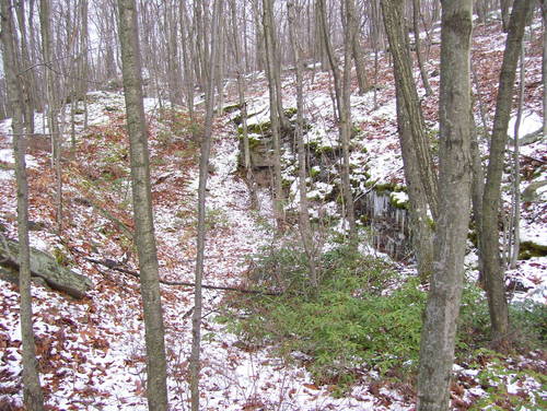
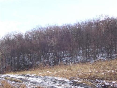
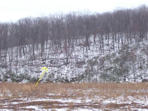
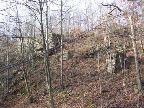
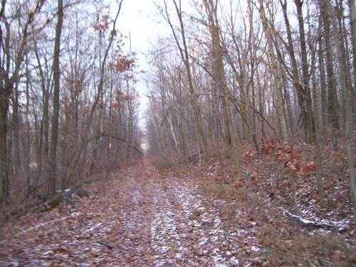
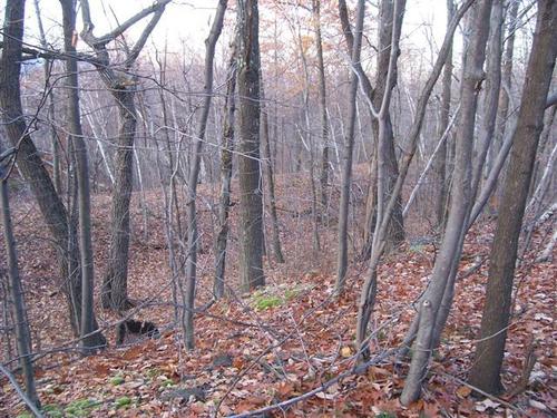
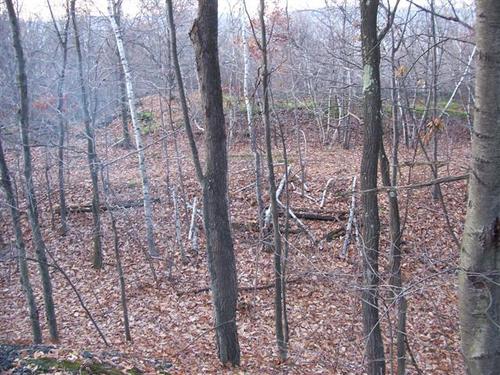
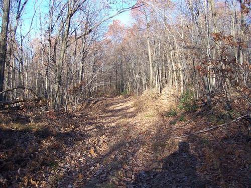
Area 1 (working northward)
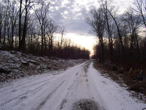


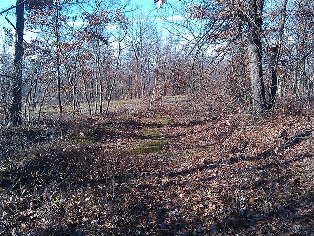
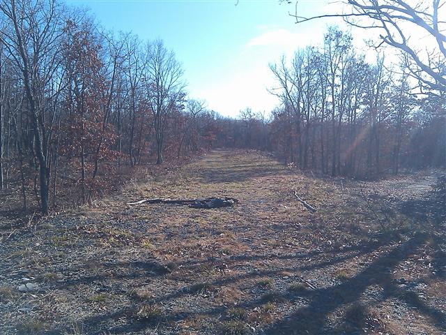
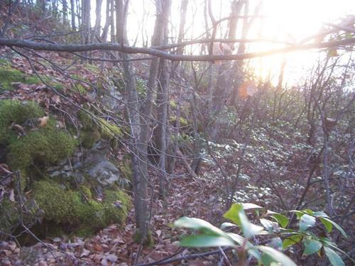
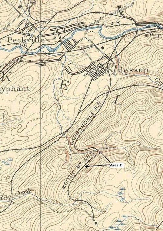
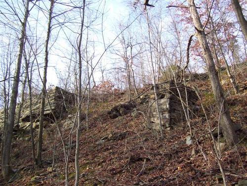
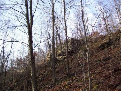
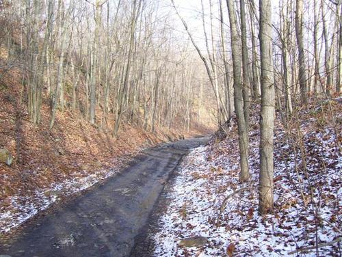
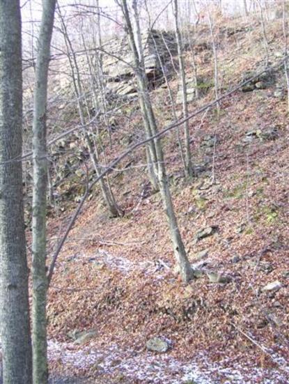
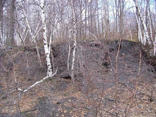
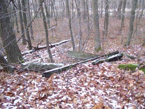
Area 2 (working northward)


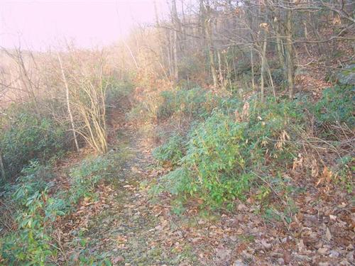
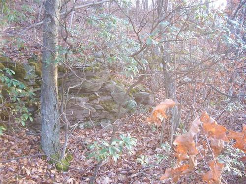
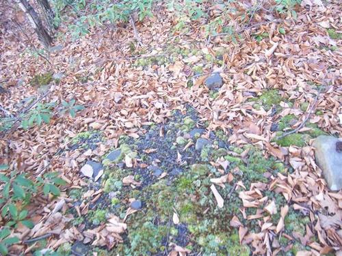
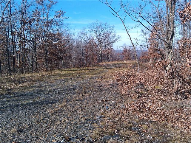
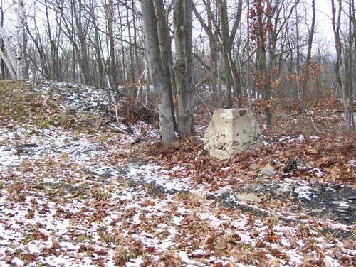
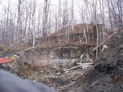
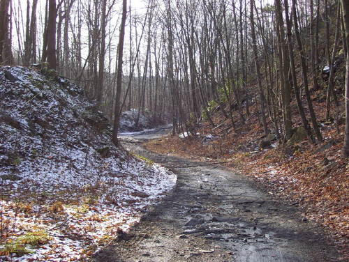
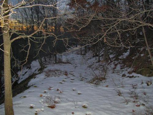
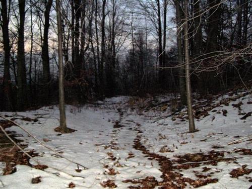
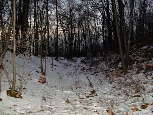
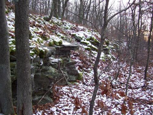
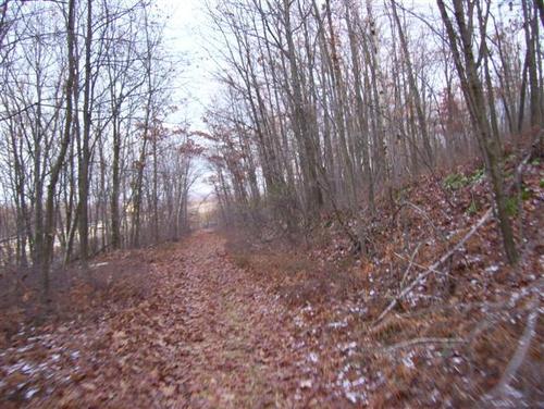
Area 3
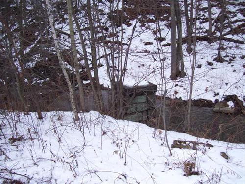

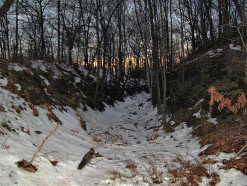
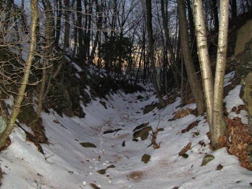
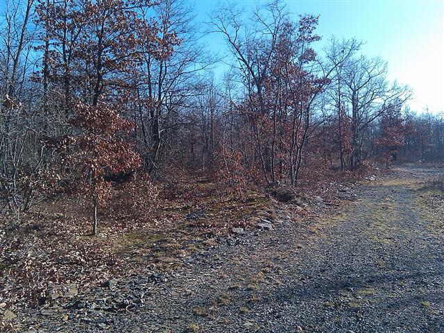
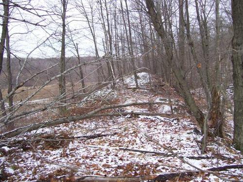
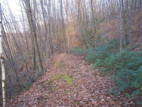
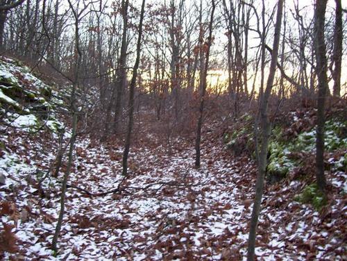
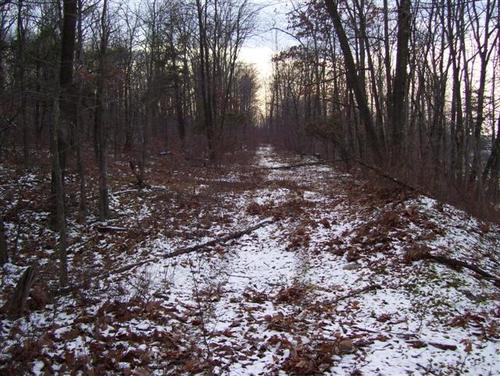
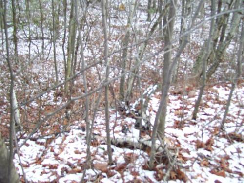
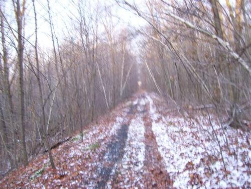
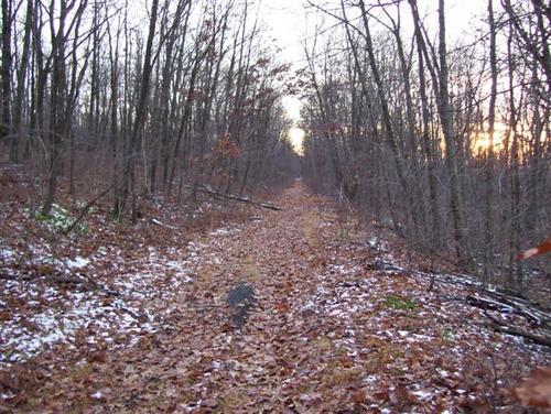
Area 4


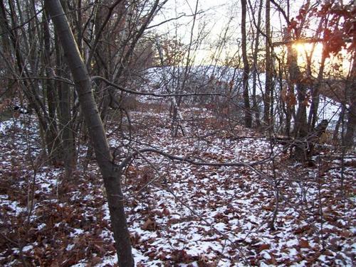

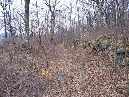
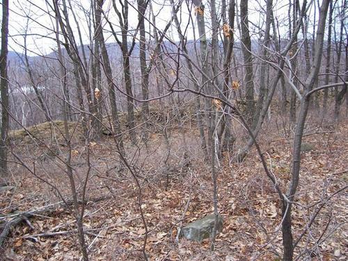
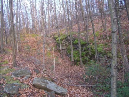
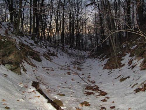
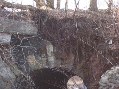
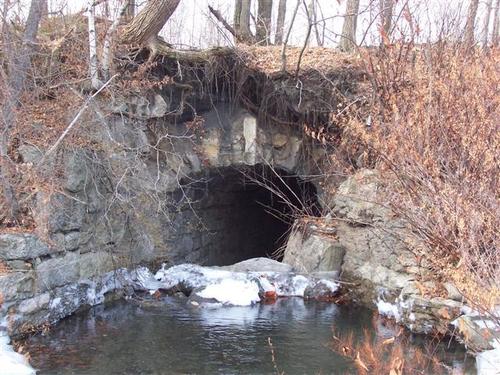
Area 5


2023 Update
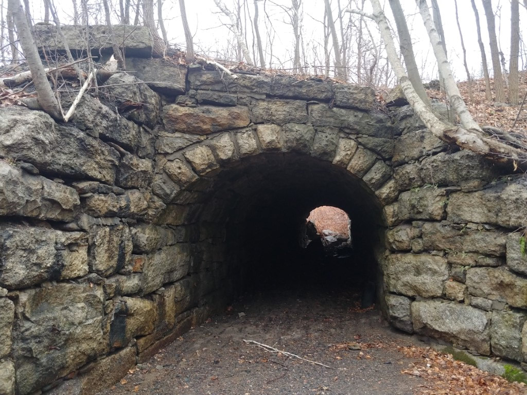
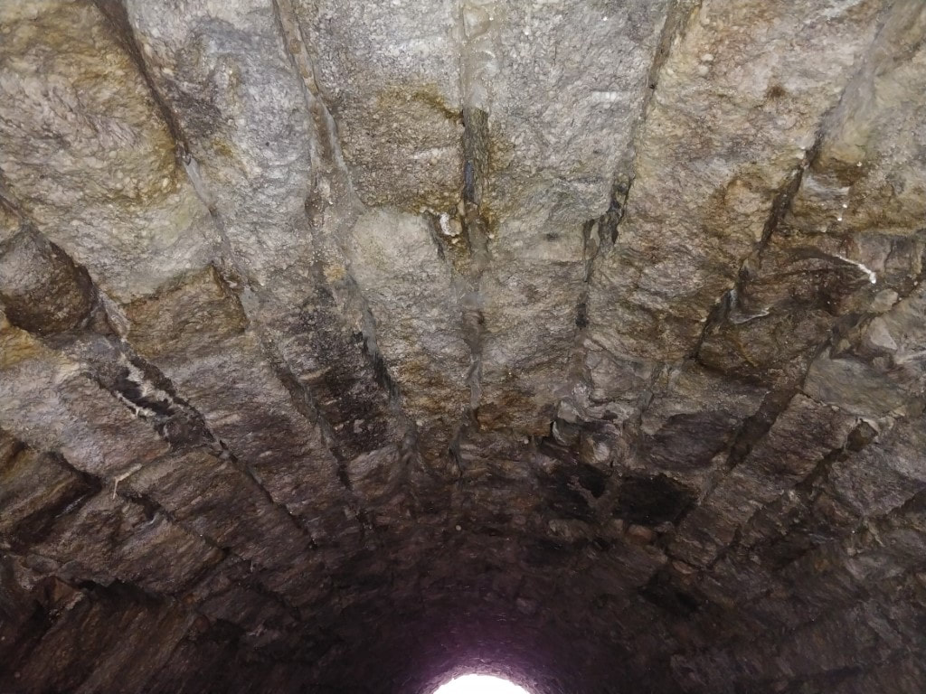
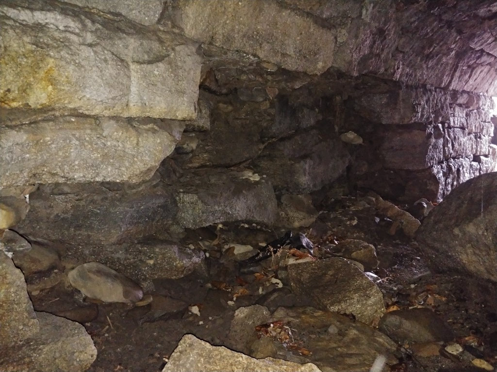
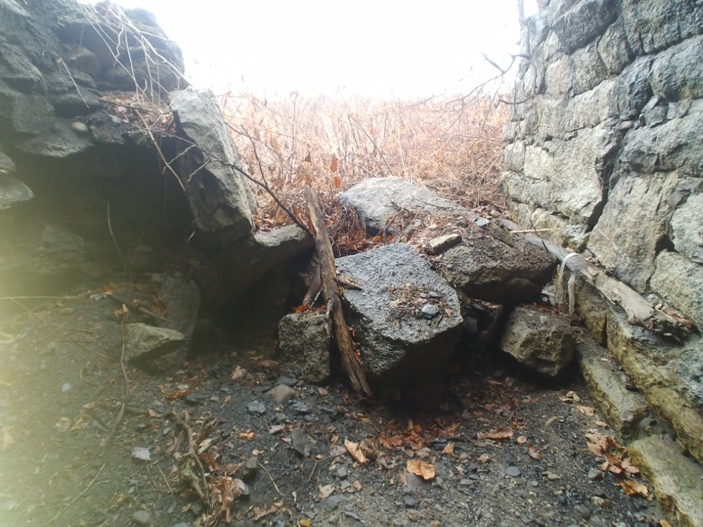
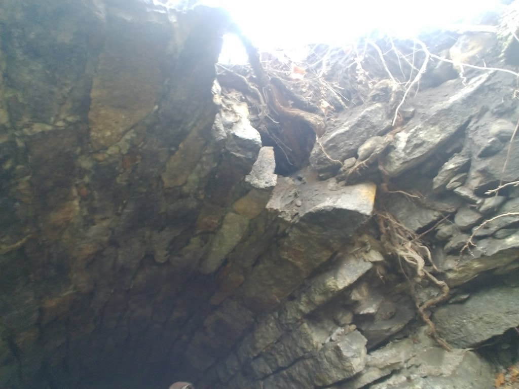
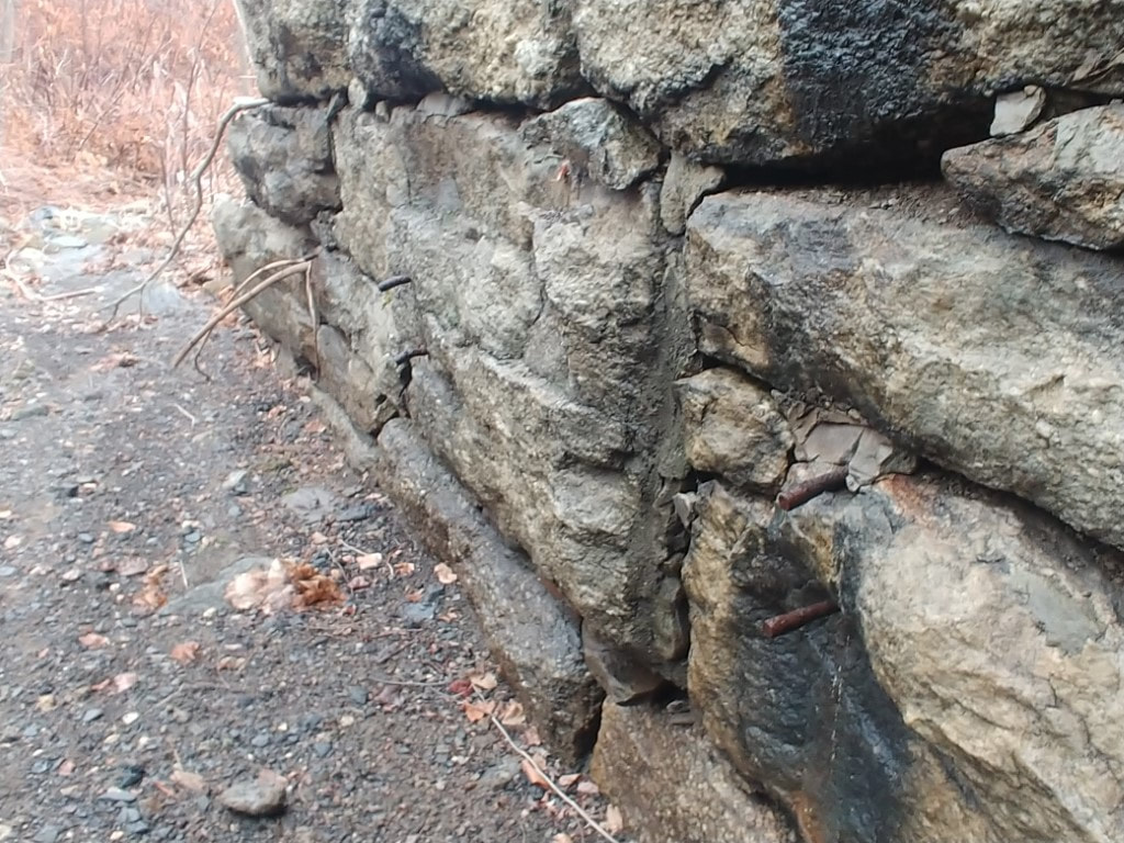
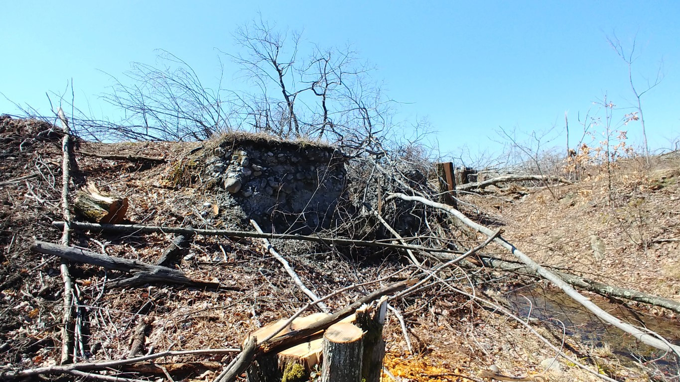
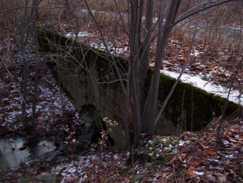
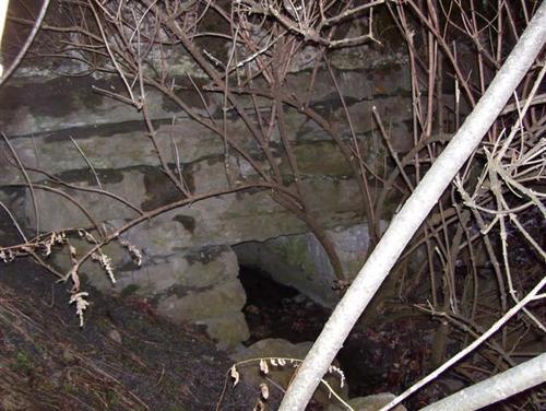
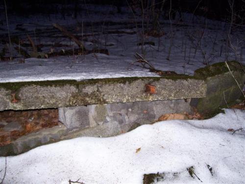
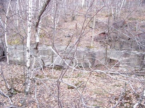
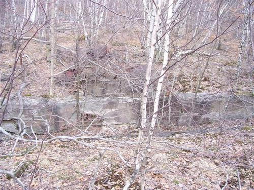
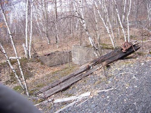
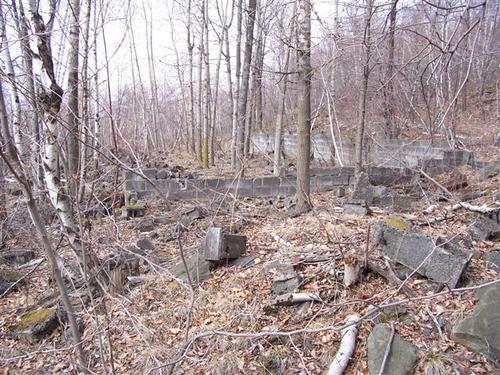
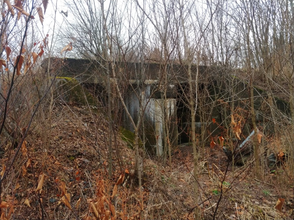
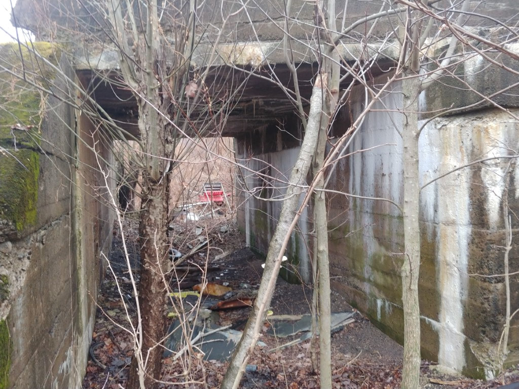
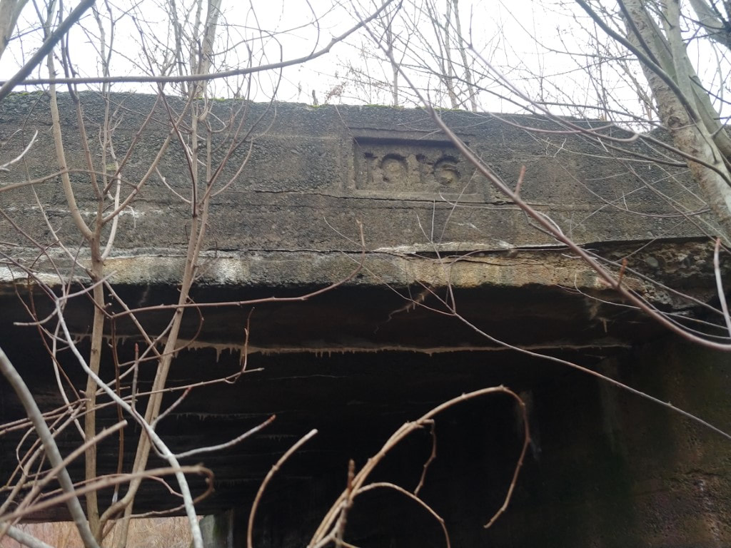
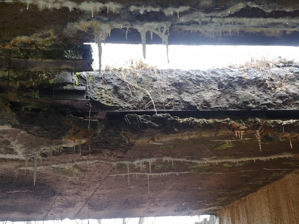
Recently part of the Jessup Railyard is now being developed, during development, one of the foundations of the former yard was uncovered and a bridge was discovered that was covered in growth. By now, this will have been eradicated. Here are pictures of the bridge.
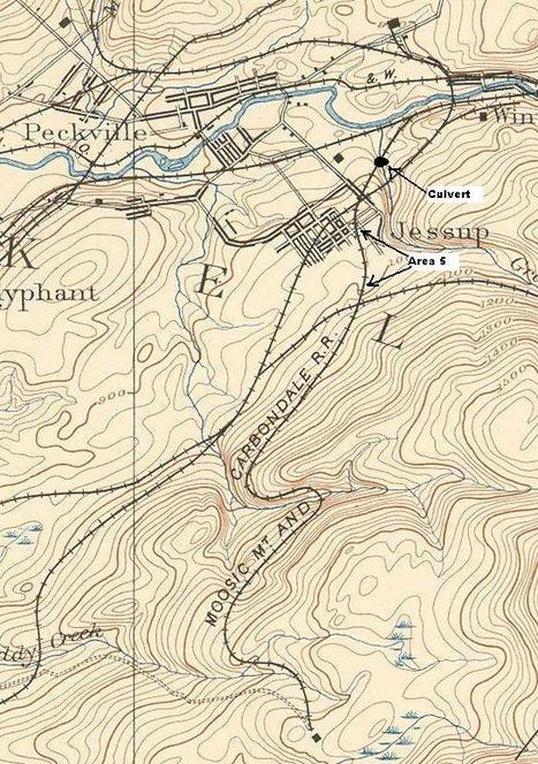
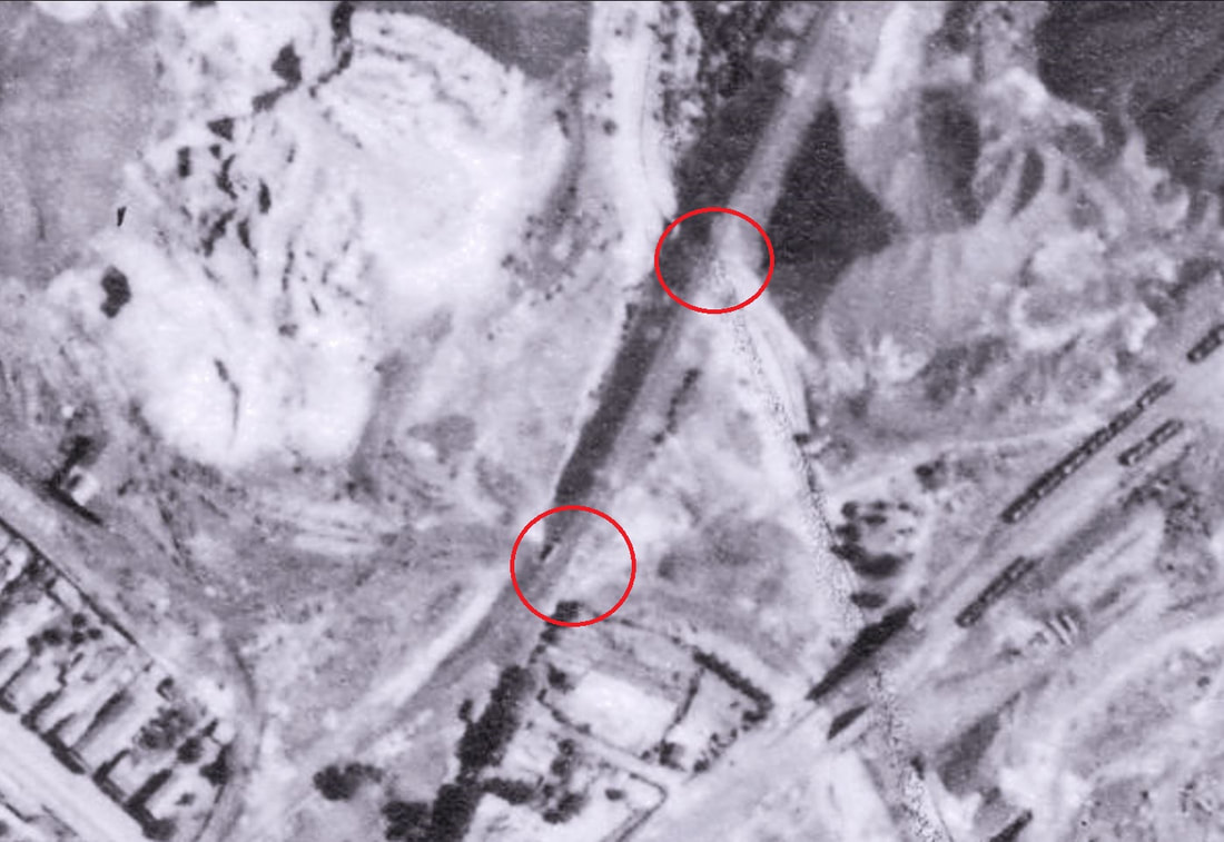
First image is from 1939 showing the location of the bridge and the stone culvert
First image is from 1939 showing the location of the bridge and the stone culvert
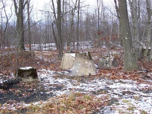
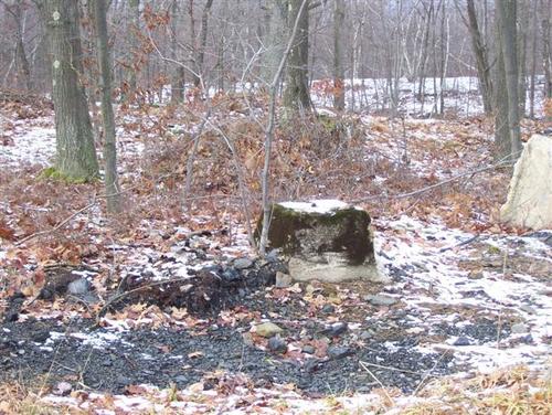
Pictures of the foundation uncovered.
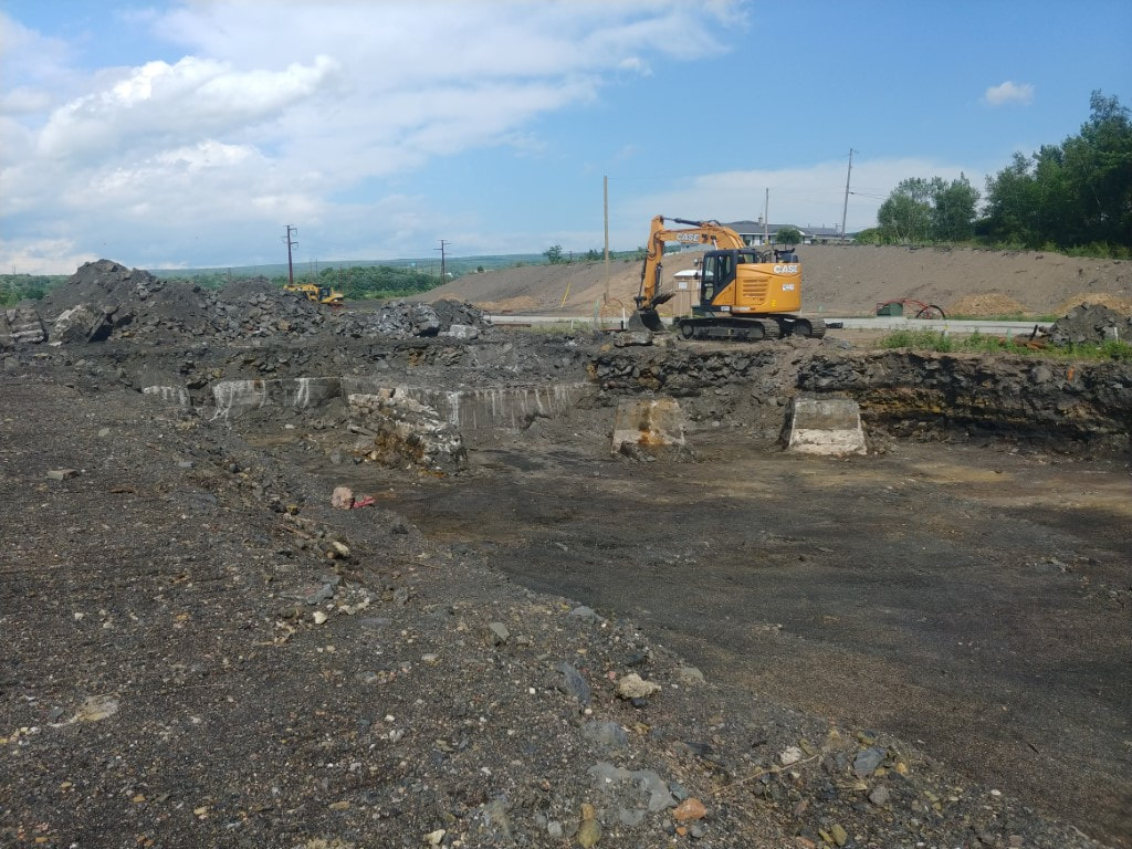
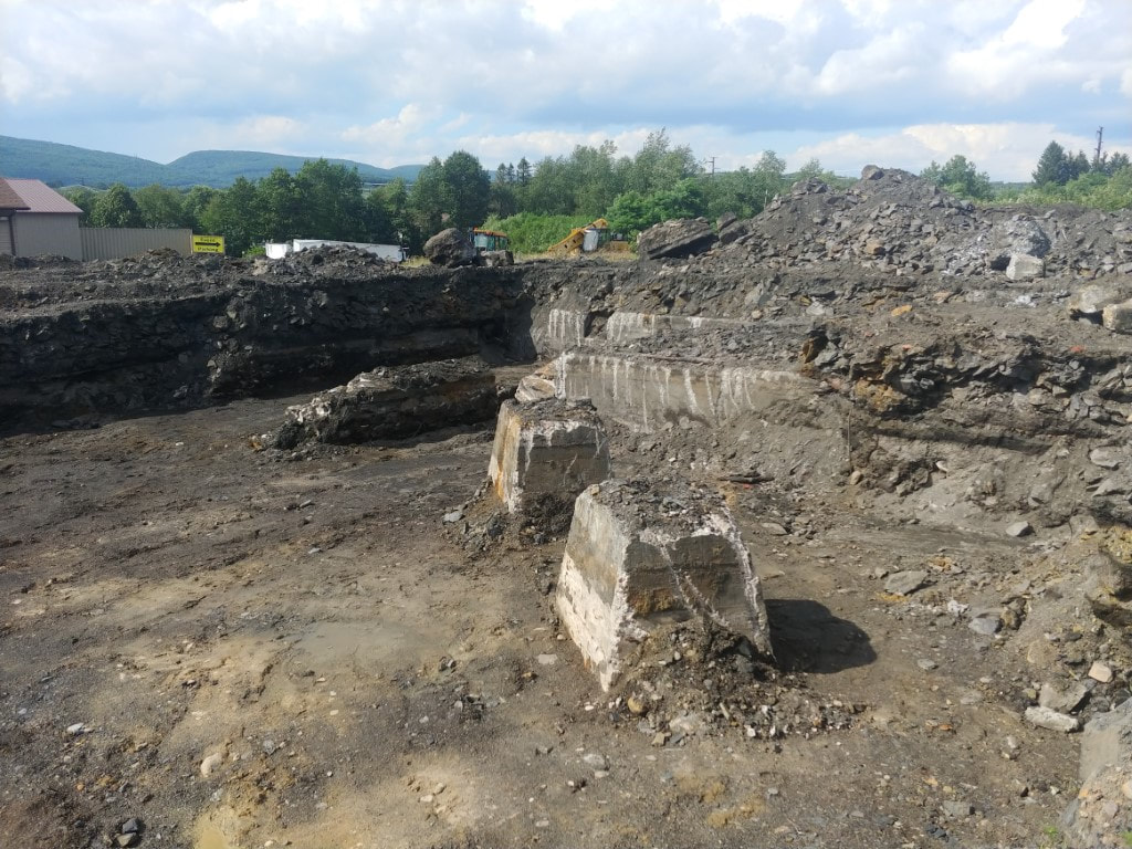
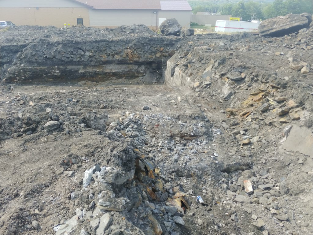
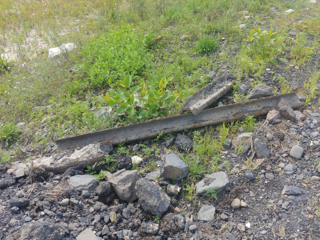
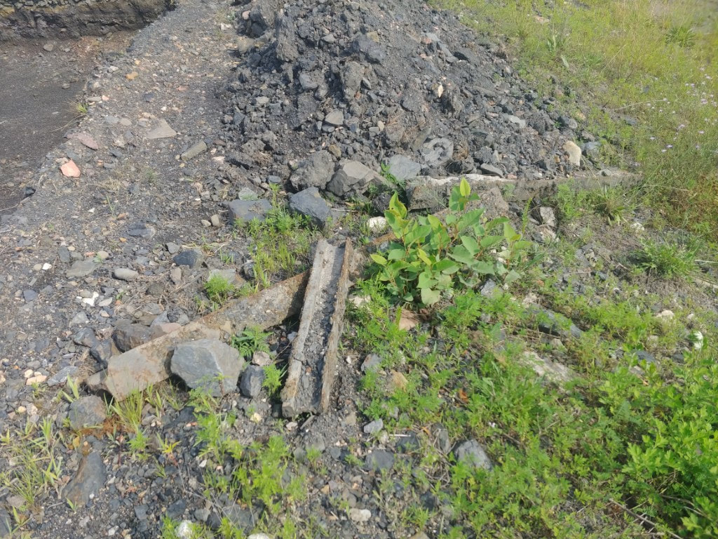
Image from 1939 showing the foundation