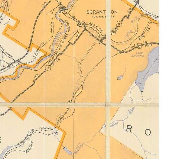

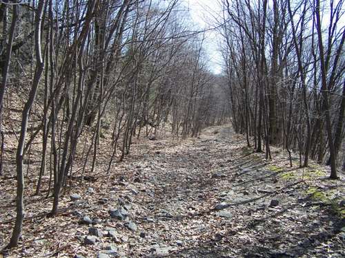


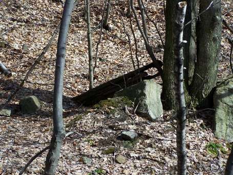
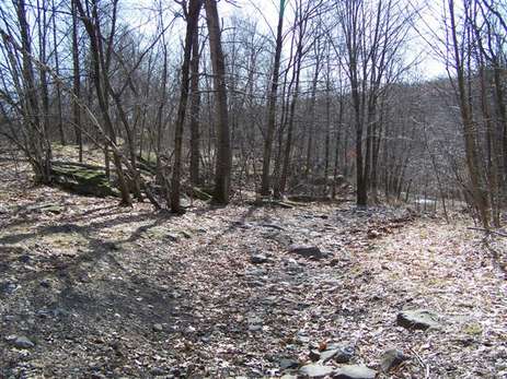
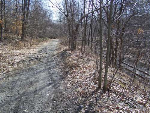

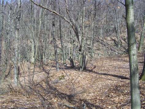
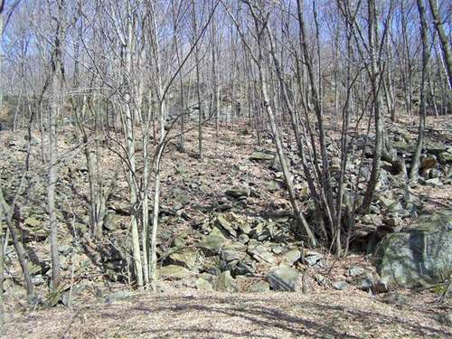

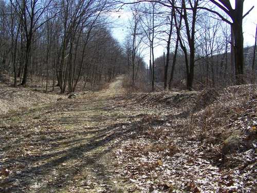
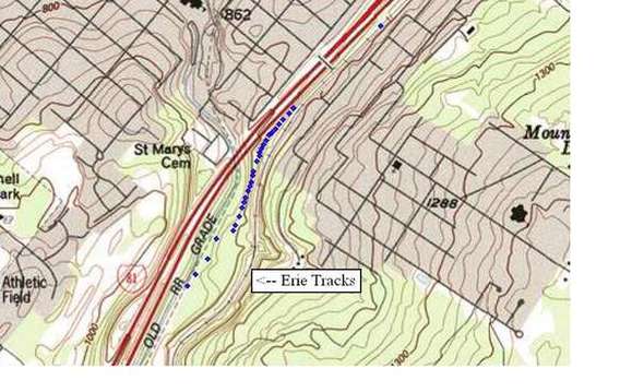
Map of area explored
The Laurel Line
is shown as abandoned (dotted line) but it is now active. The Erie's
tracks are shown as well. The waypoints show the cut off but as I was
going downhill the GPS started to lose tracking so the tracking got
harder as I got lower.
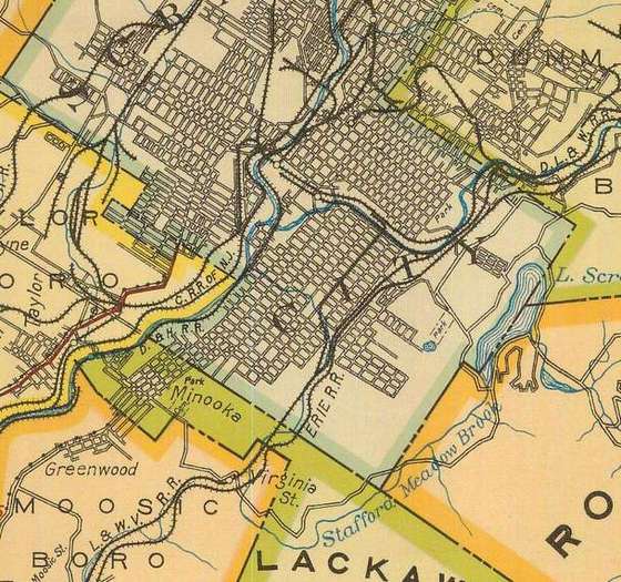
This map from
1923 is the only one that shows this line. It does not show where the
Laurel Line goes into the Crown Avenue Tunnel.
This map from
1953 does not show the cut off trackage. It does show where the Laurel
Line enters the Crown Avenue Tunnel so I am showing it for relation
purposes.