Abandoned Railroads of Northeast Pa
  • Whats New
  • About Me
  • Guestbook
  • Erie Railroad
  • NY O&W Railroad
  • CNJ Railroad
  • D&H Railroad
  • PCC Gravity Railroad
  • DL&W Railroad
  • SM&B Railroad (Northern Electric)
  • WB&E Railroad
  • L&WV Railroad (Laurel Line)
  • PRR Railroad
  • Lehigh Valley Railroad
  • Old Route 611 (Drinker Turnpike)
  • Rail Excursions & Festivals
  • Links
  • Underground Miners Tours
  • Olyphant Mine Fire
  • Model Railroading
  • Other Stuff

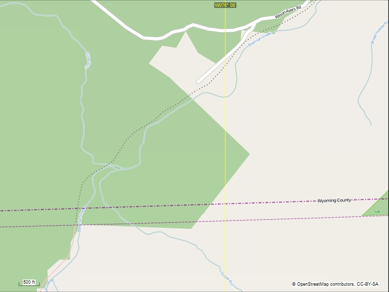
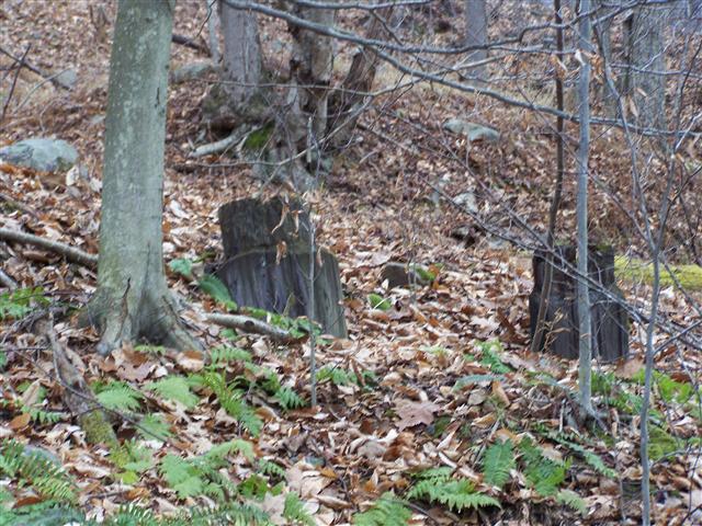
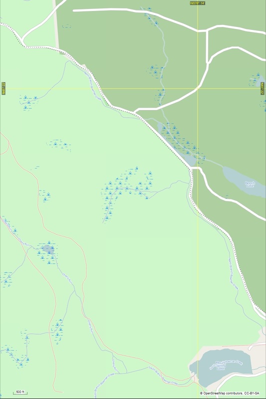
Maps of area explored. The dotted line is the railbed.

This map shows the switch to Ganoga lake.

Picture

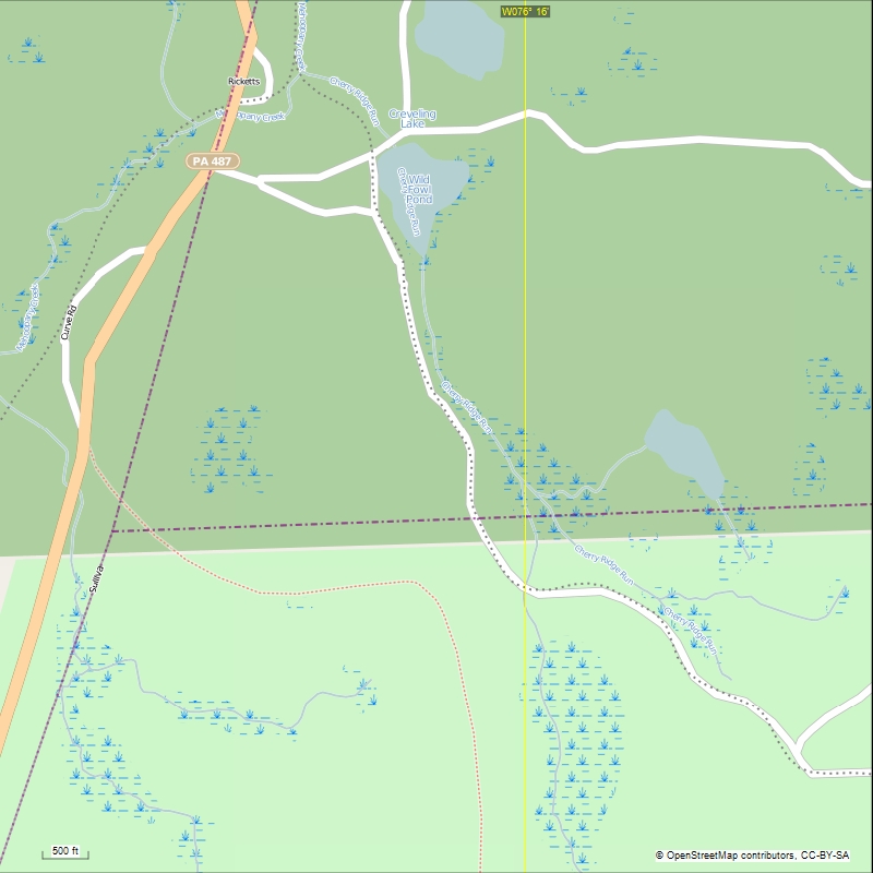
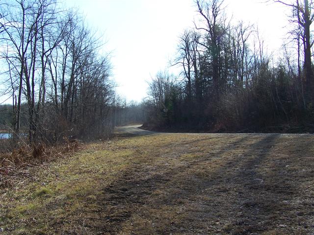
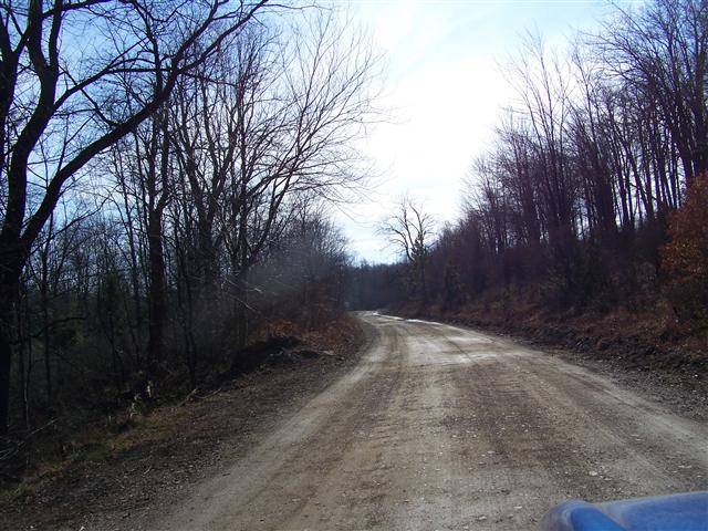
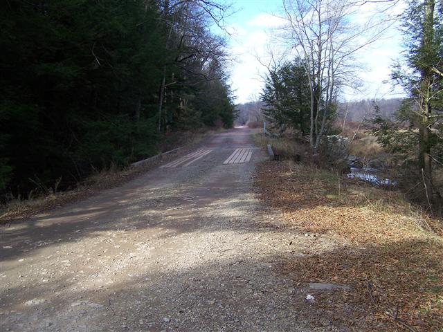
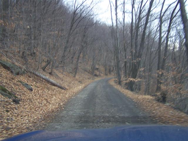
The dirt road part down to Mountain Springs.

Picture

The railbed turns north of the lake, The side track that serviced the ice houses is the red dotted line.

Picture

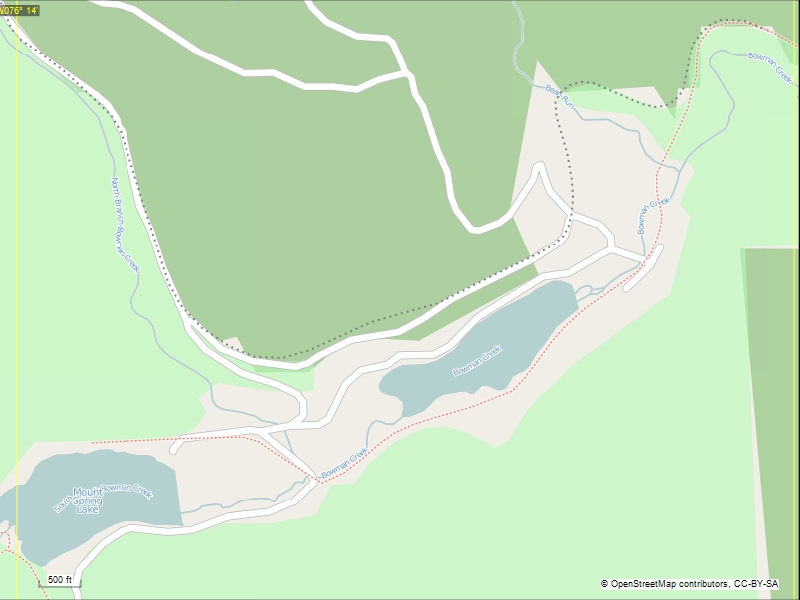
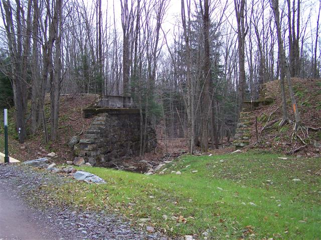
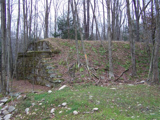
Mountain Springs siding joins here and the Bowmans Creek branch is now seen as a dotted red line.

Picture

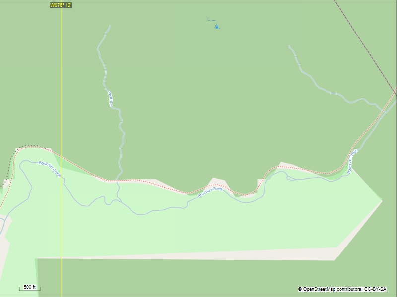
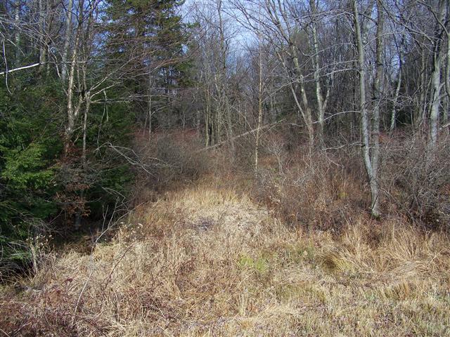
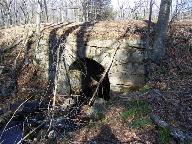
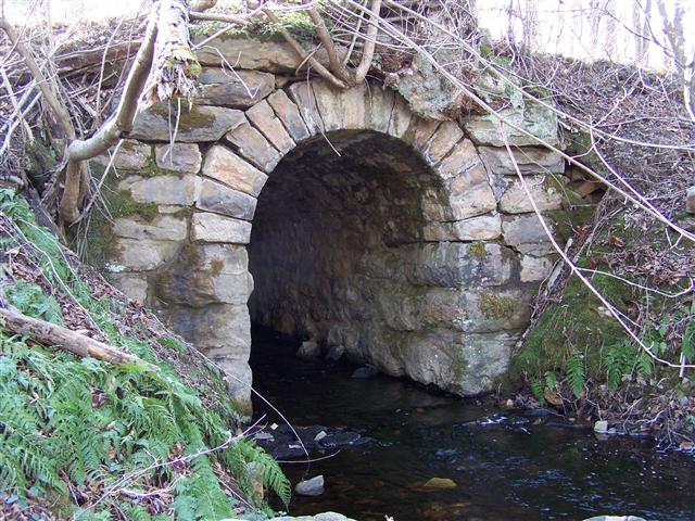
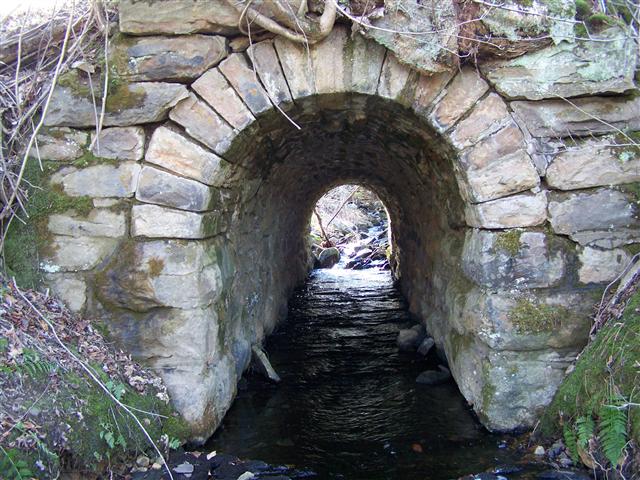
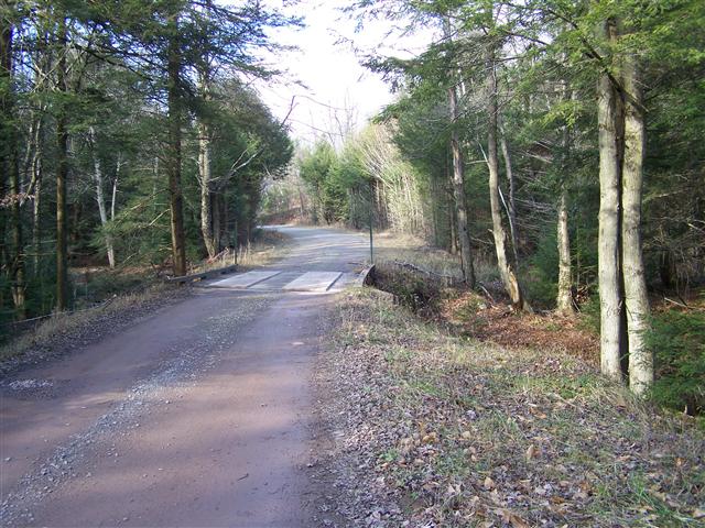
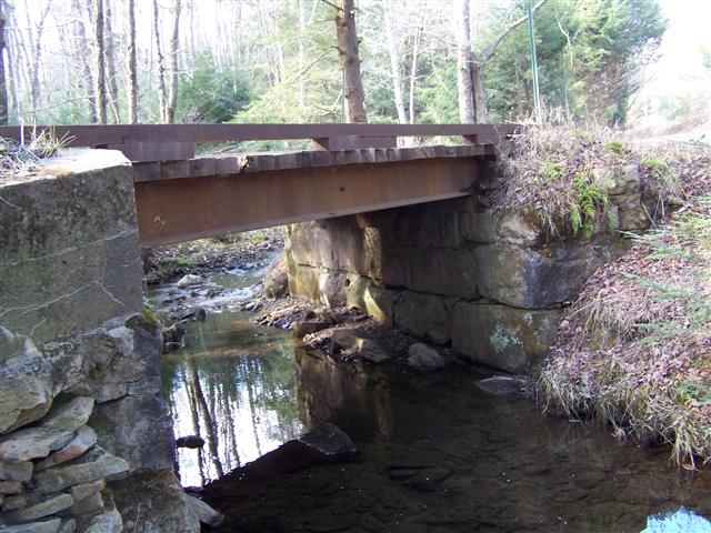
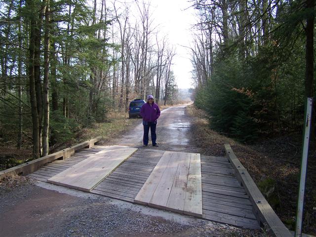
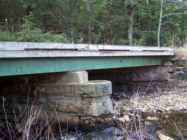
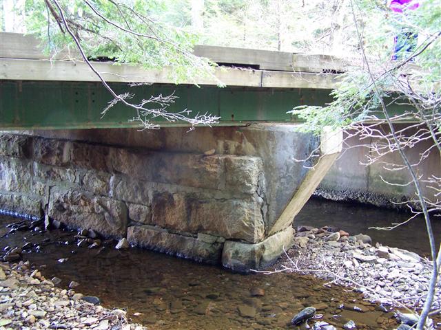
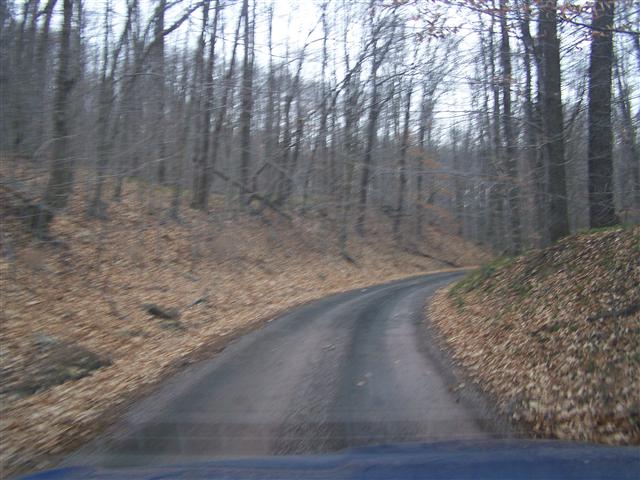
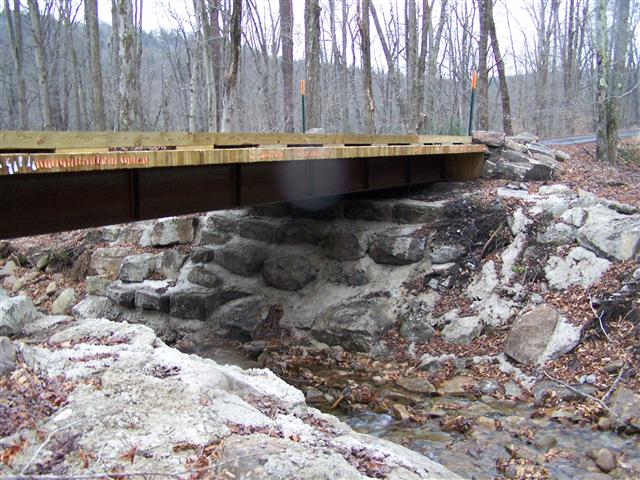
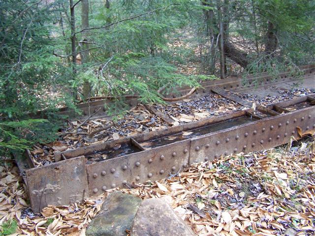
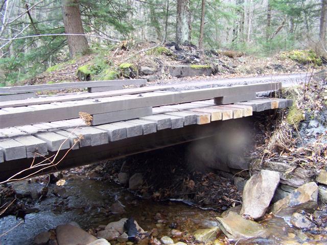
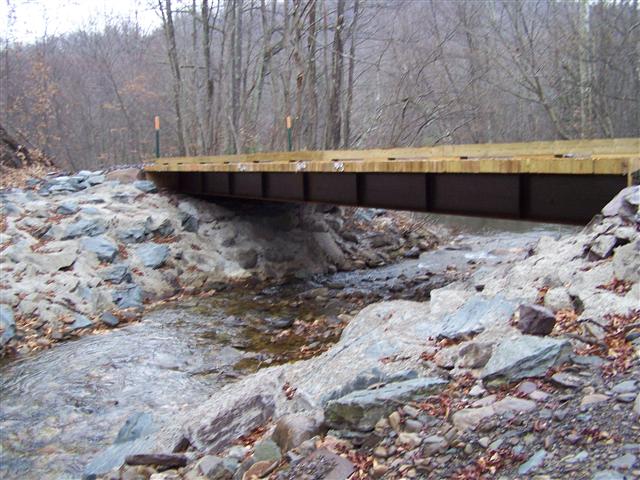
Several creek crossings as the railbed heads to Stull.

Picture

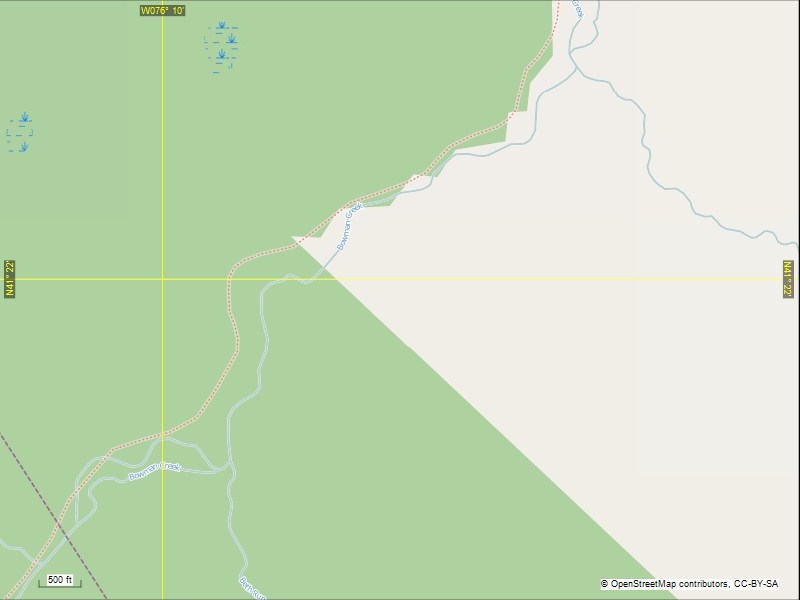
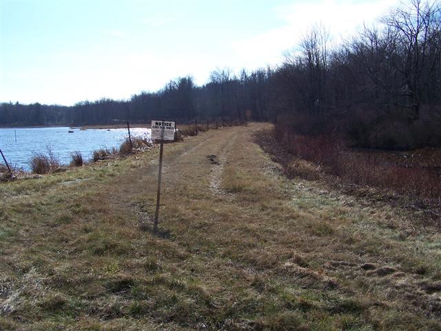
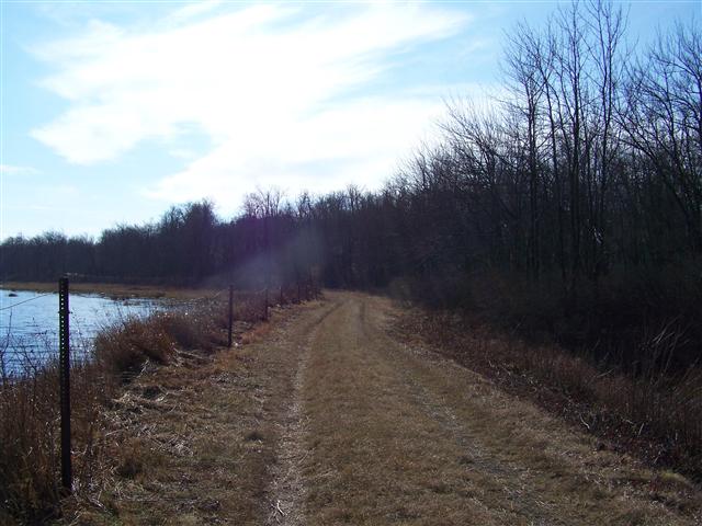
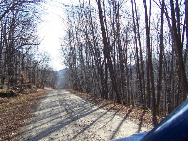
Past the road intersection, the railbed is private property and not accessible.

Picture
Powered by Create your own unique website with customizable templates.