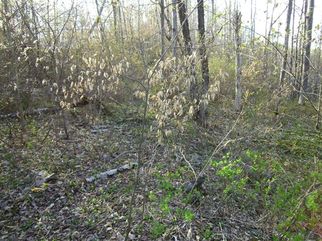
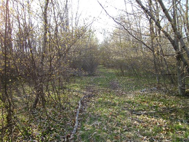

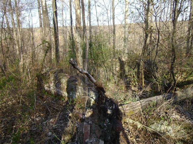
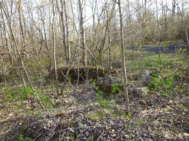
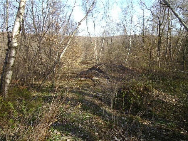
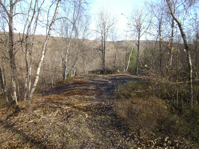
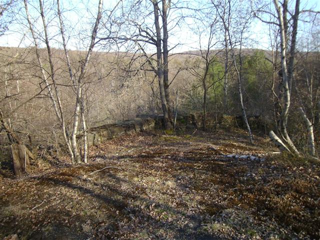
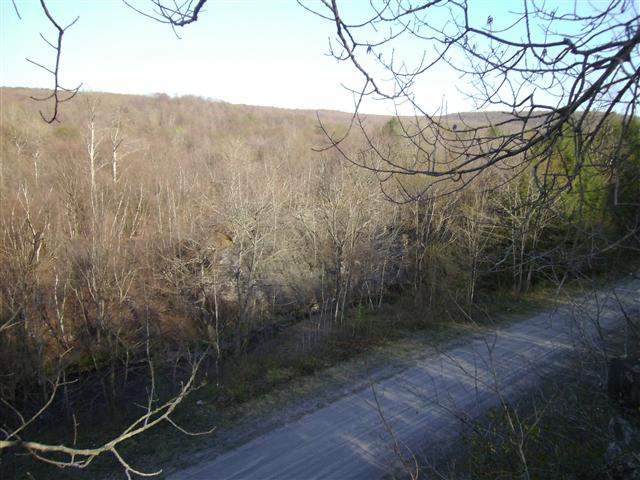


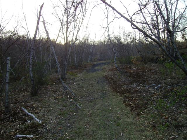


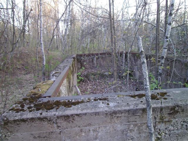
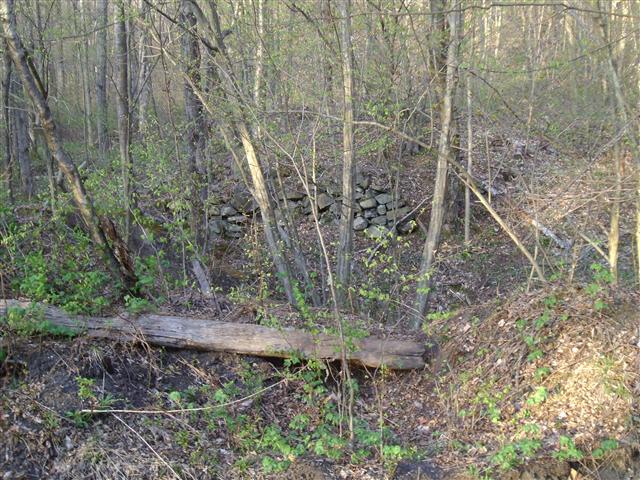
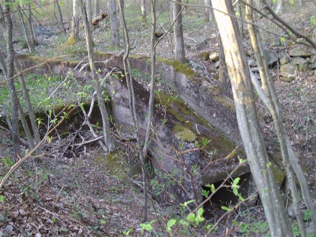

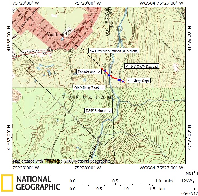
Map of area explored
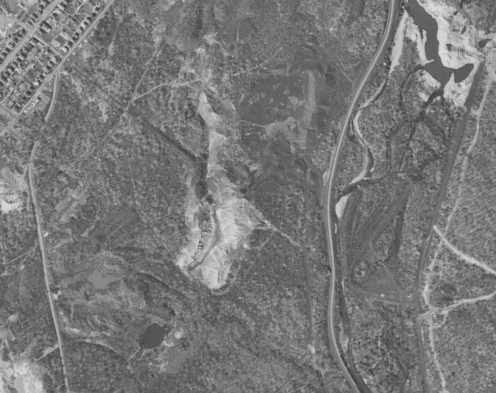
Historical aerial photograph taken 1939
This is from pennpilot's site, you can see the track that went all the way into Vandling and some of the buildings can be seen here, particularly east of the O&W.
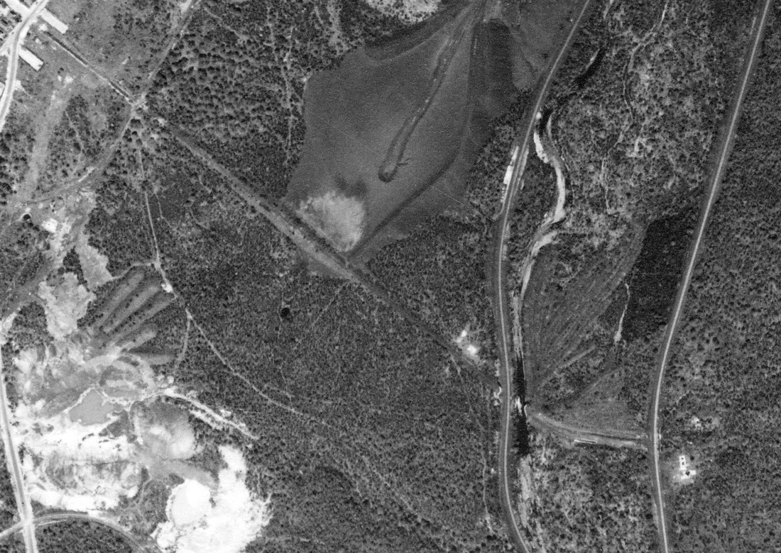
Historical aerial photograph taken 1959
This photo also taken from Pennpilots website shows how the railbed was wiped out west of the D&H tracks. This would indicate the slope had already closed and this is also two years after the NY O&W railroad was abandoned. The buildings are also not visible.
Penn pilot website: http://www.pennpilot.psu.edu/