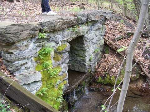
2006 Pictures


Map of area explored
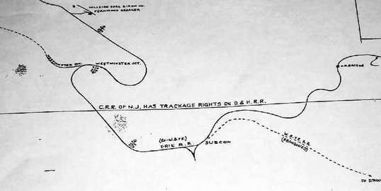
This is a segment of a 12 foot long railroad map. It shows where the Wye and other branches were. The map is labeled: "Erie Railroad Company. Railroads and Collieries in the Wyoming and Lackawanna Valleys" The map depicts all the railroads that ran through the area.
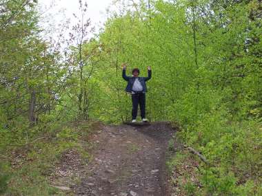
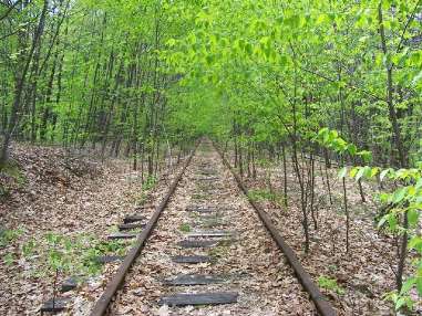
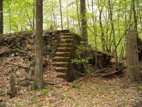
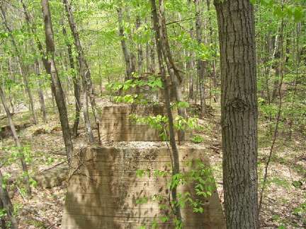
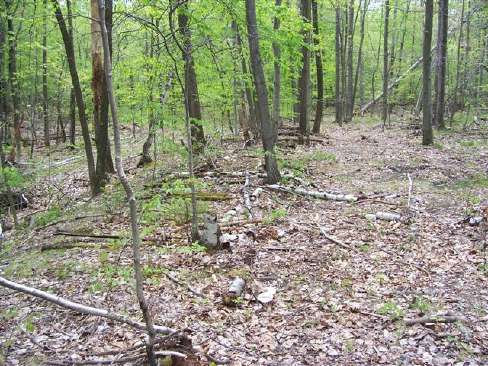
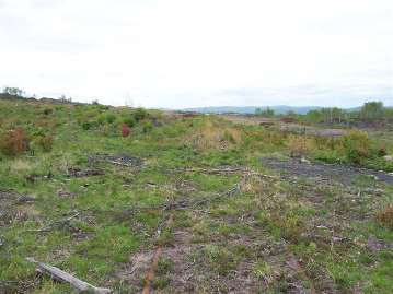
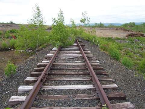
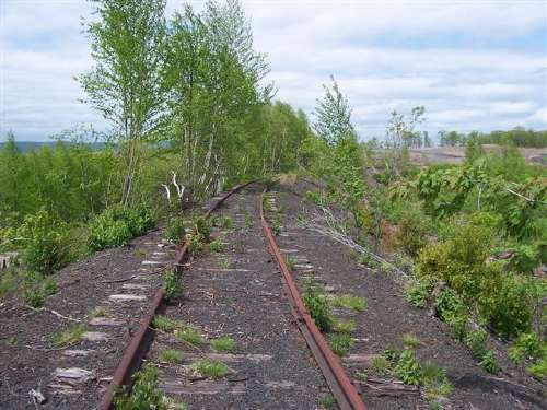
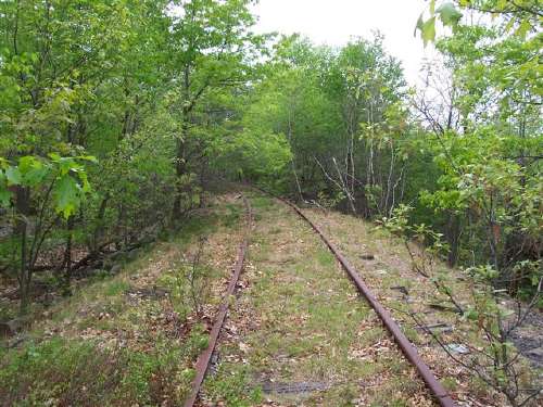
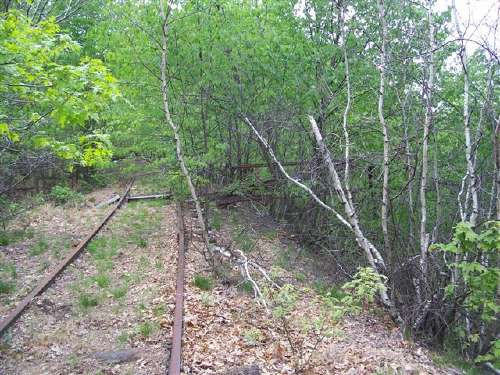
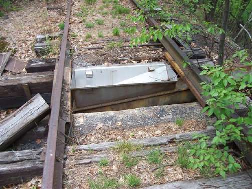
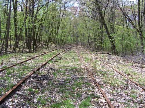
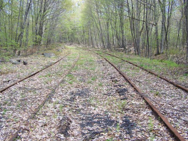
May 2008 Pictures
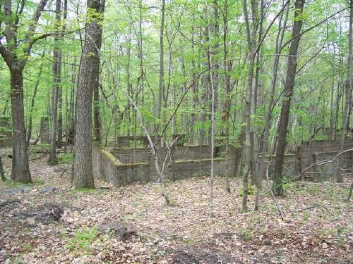
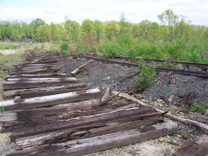
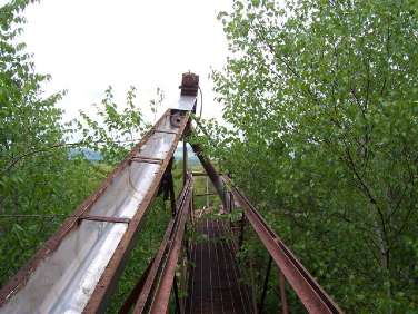
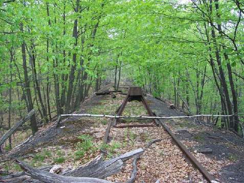
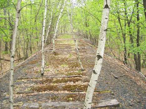
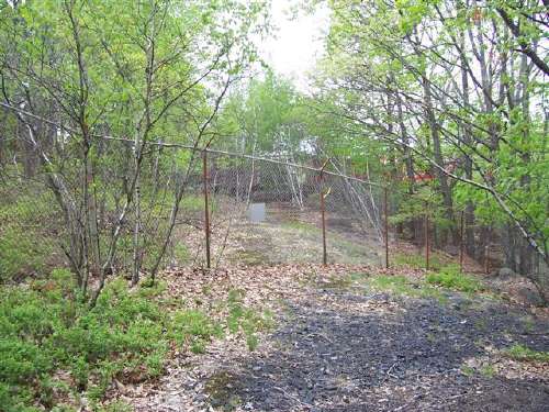
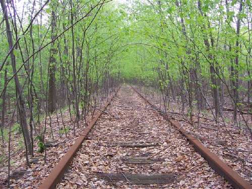
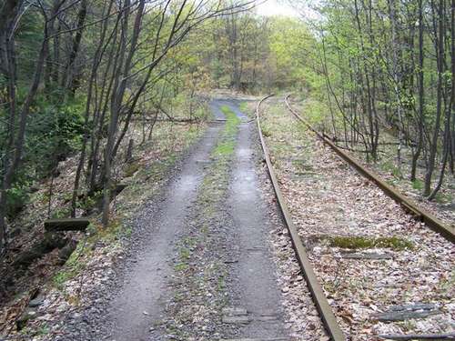
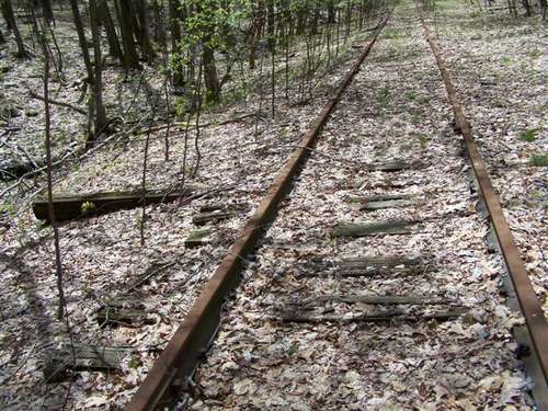
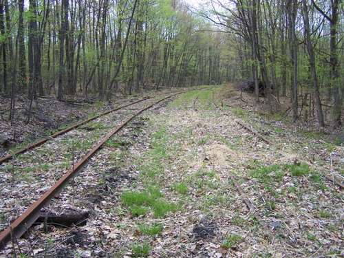
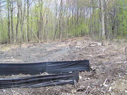
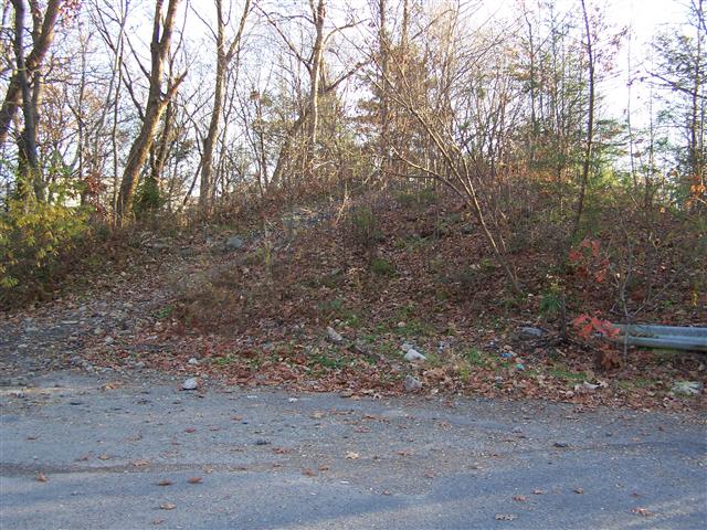
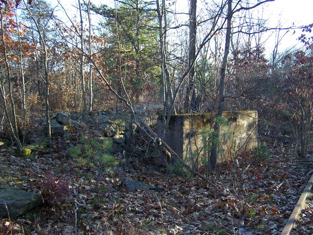
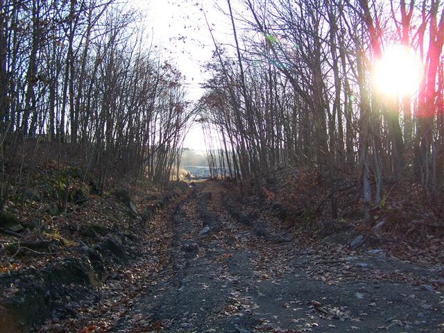
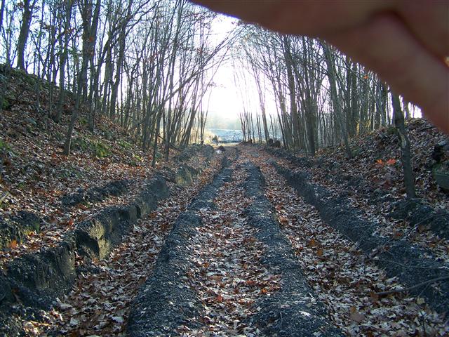
With the development of the new Centerpoint Industrial park we were curious as to what changes have occurred. We saw two years ago the ties pulled out in one area. Here as we started, this appears to be the remains of the "Wye" as shown in the above map. An explosive company (now abandoned) probably developed over this and erased its remains except for this.

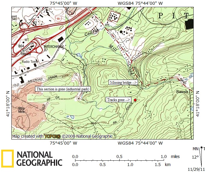
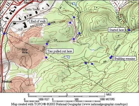
Updated map of area explored
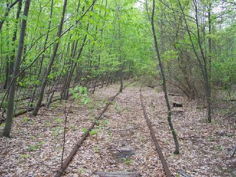
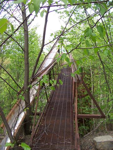
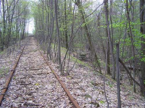
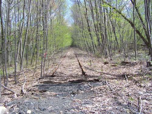
2011 Pictures
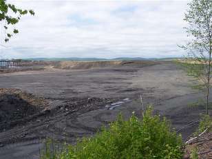
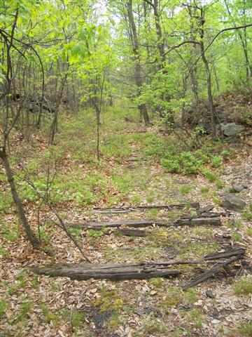
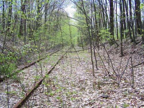
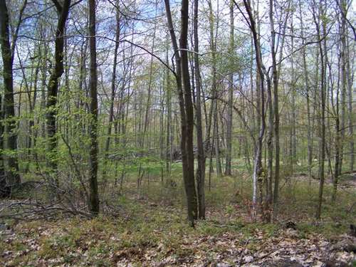
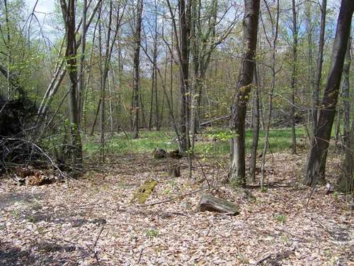
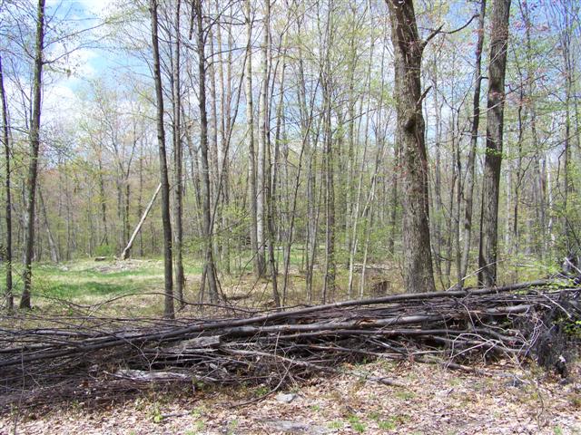
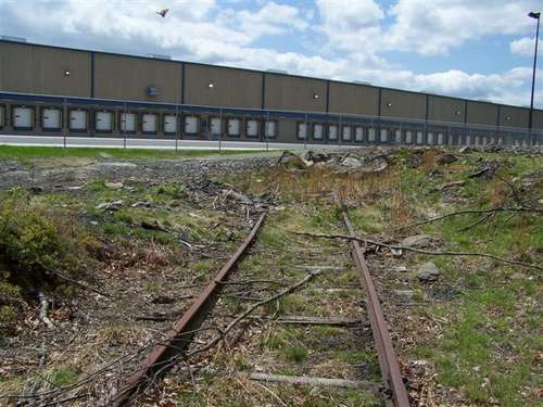
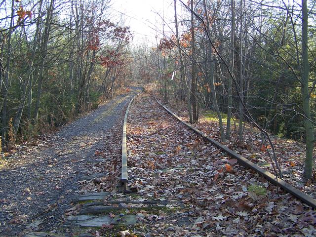
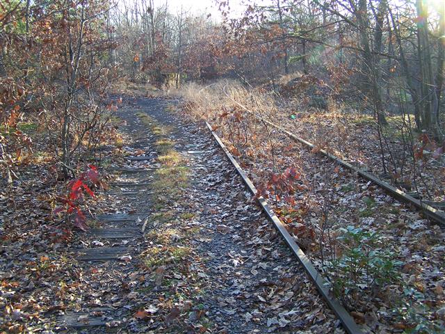
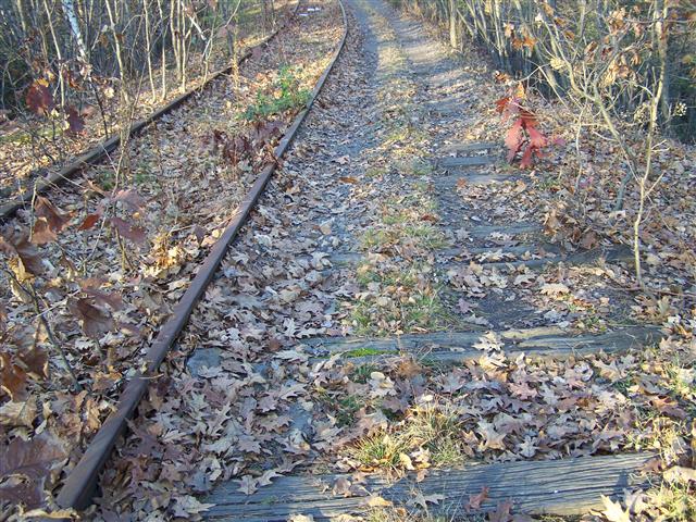
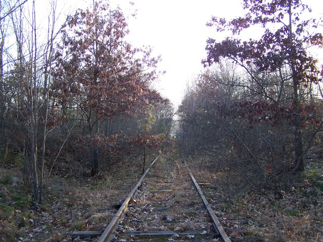
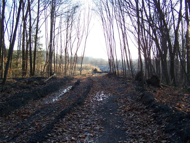
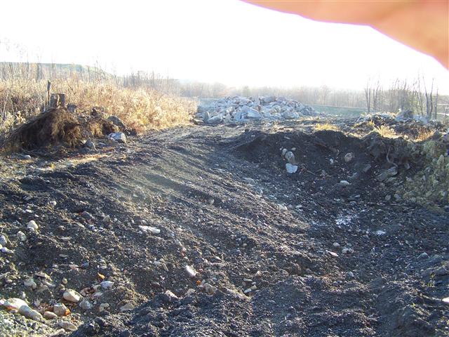
After exploring other parts, I took a quick look from the crossing over Suscon Road to see what has changed since 2008. It turned out there has been changes.


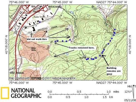
2011 map of the area explored