


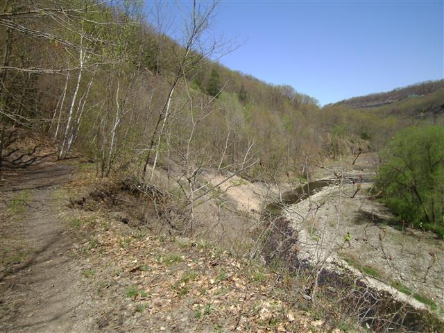
Map of area explored
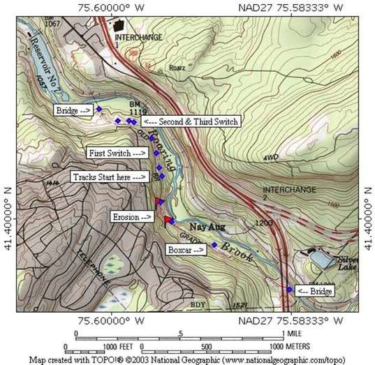
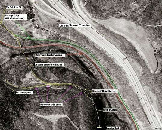
Terraserver view with notes
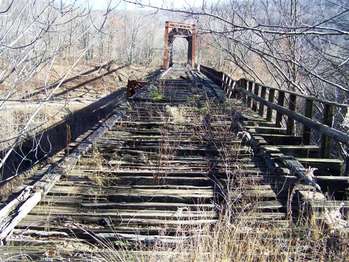
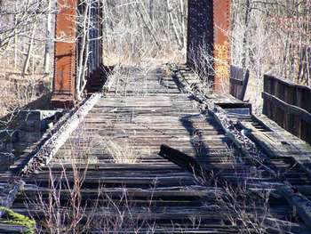
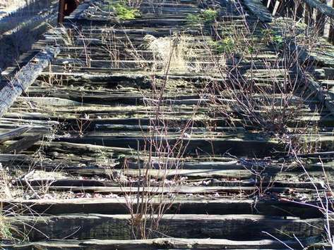
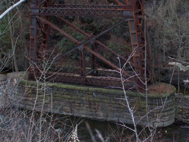
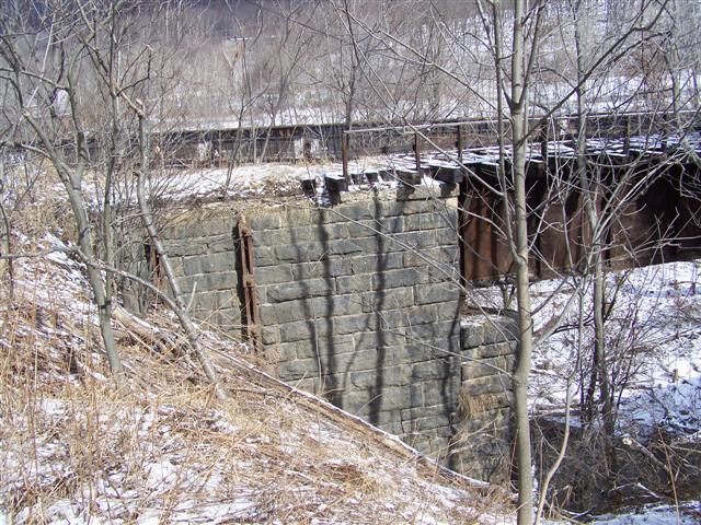
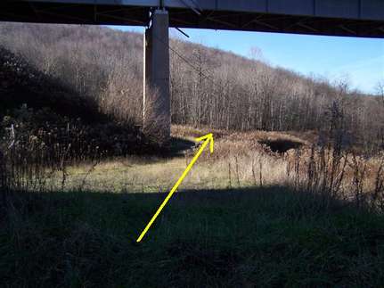
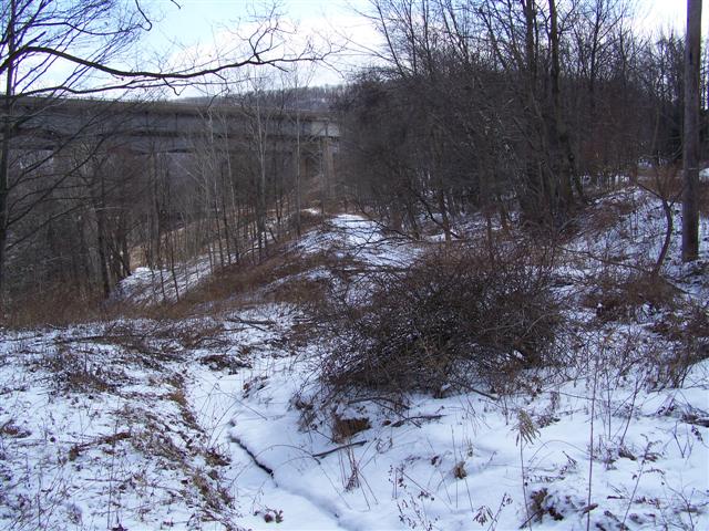
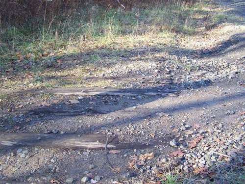
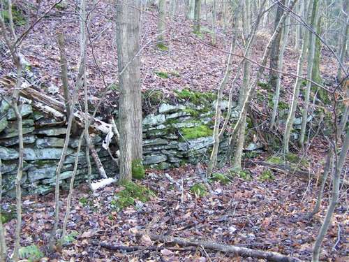
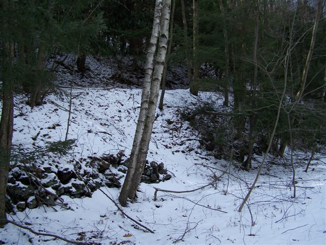
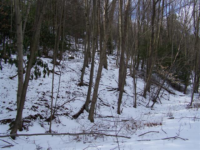
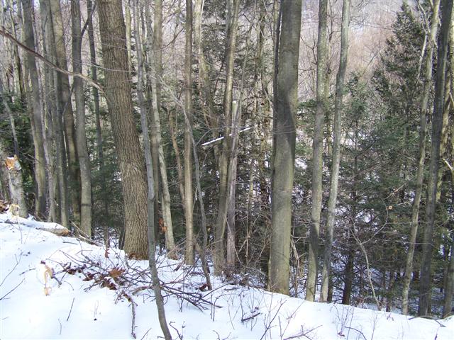
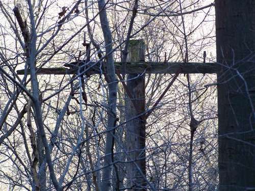
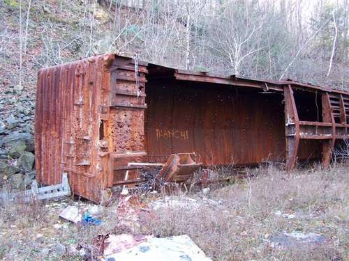
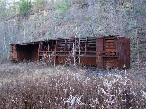
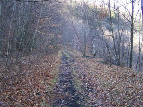
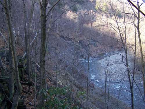
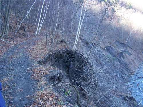
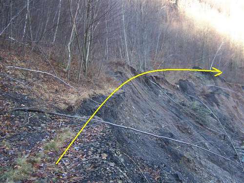
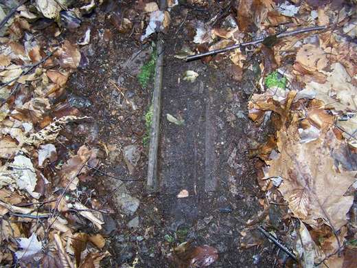
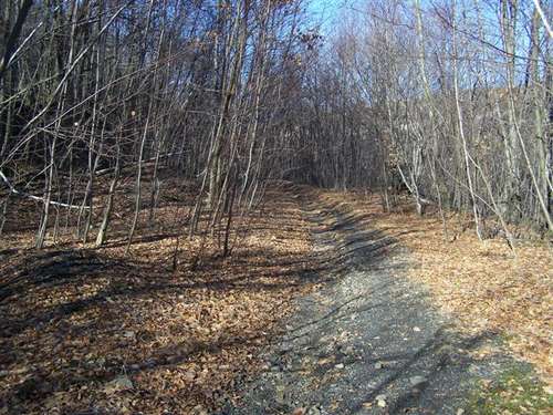
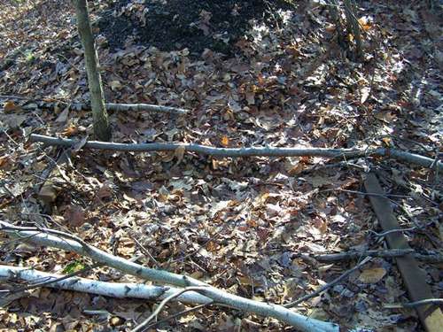
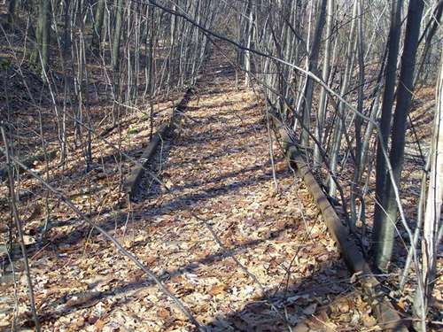
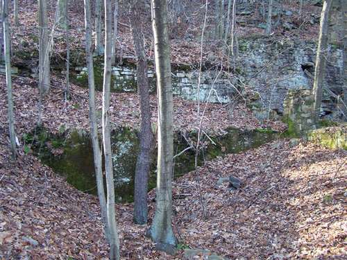
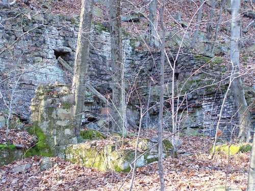
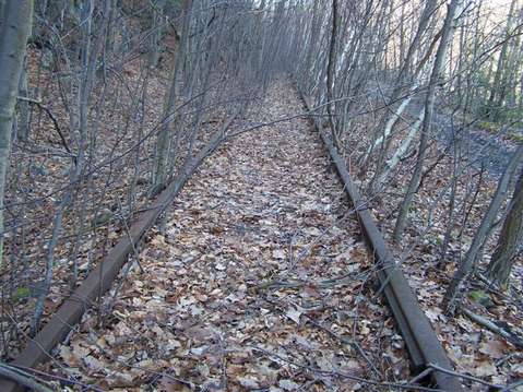
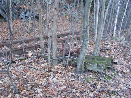
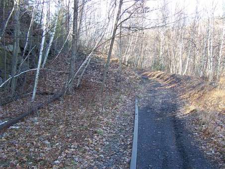
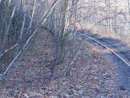
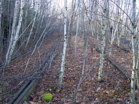
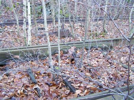
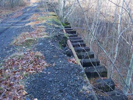
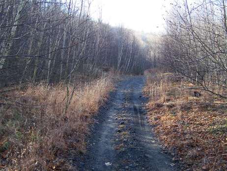
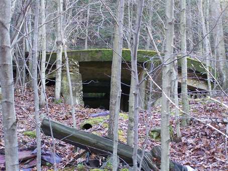
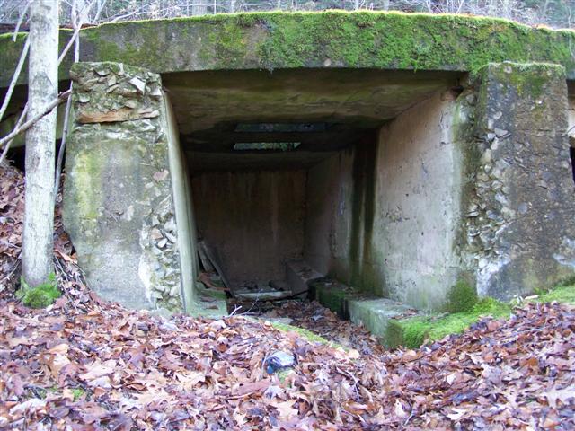
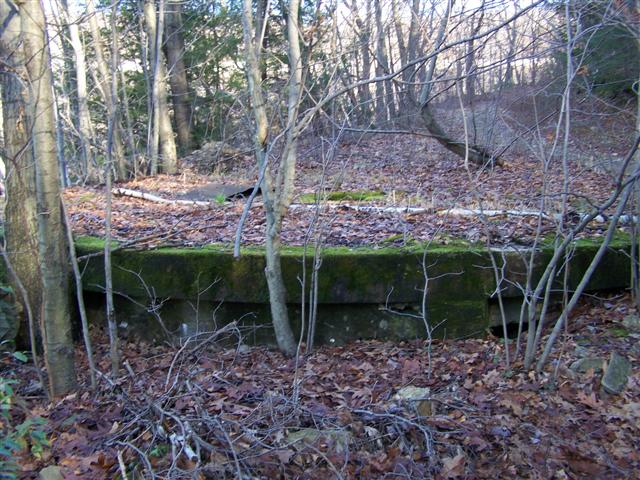
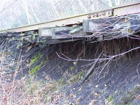
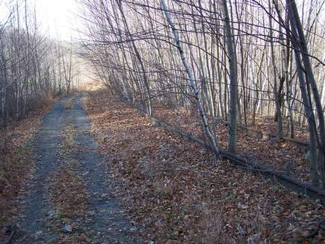
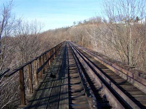
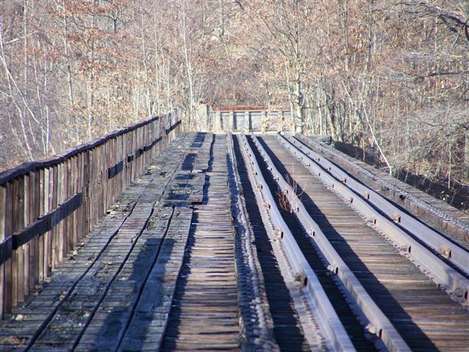
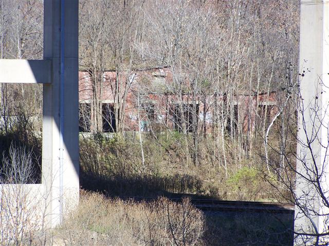
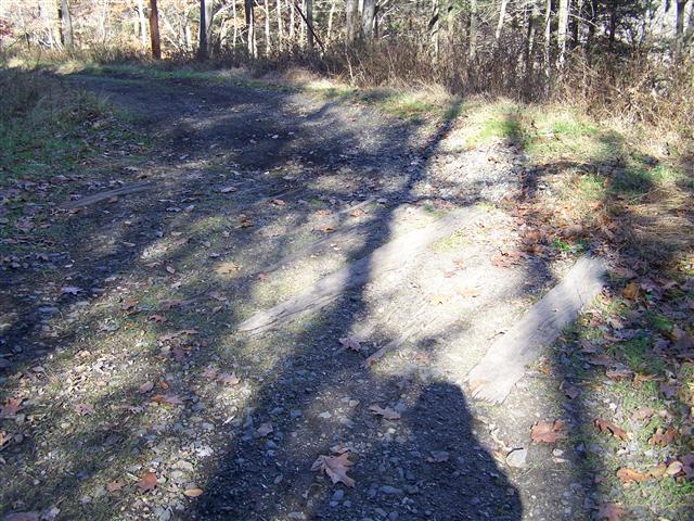
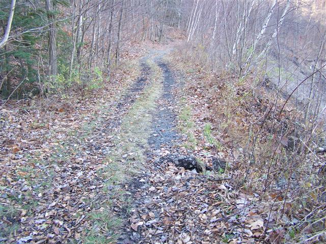
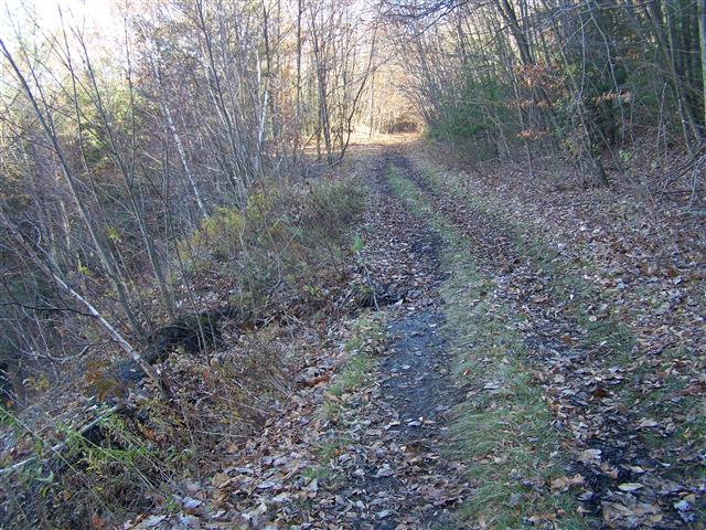
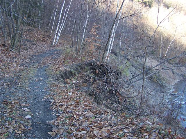
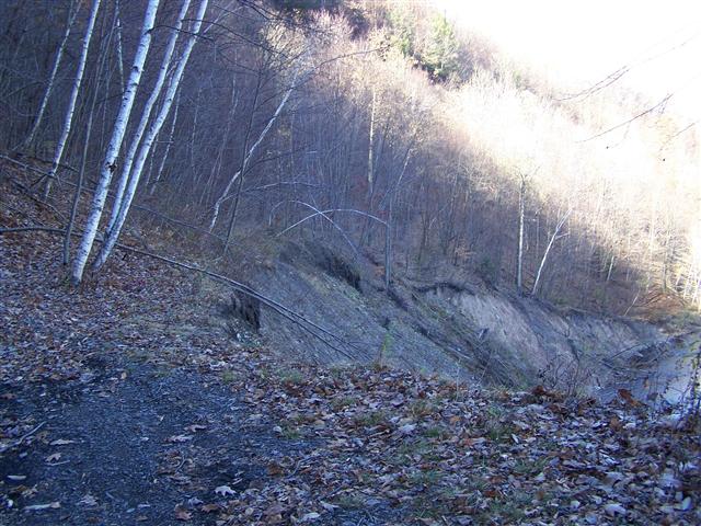
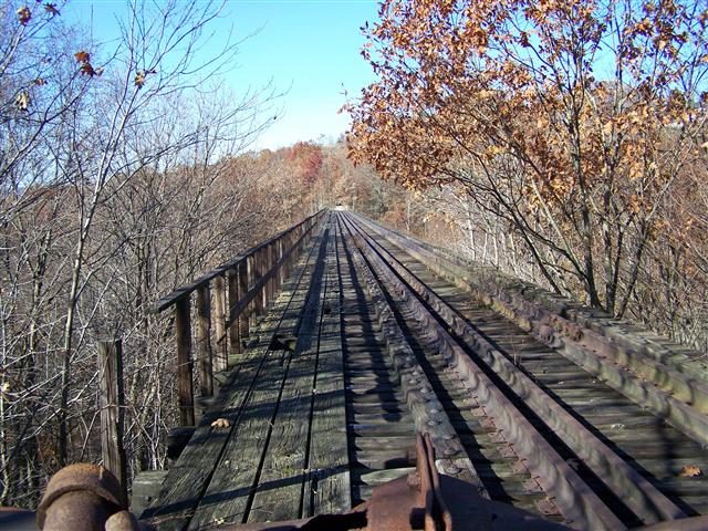
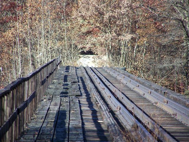
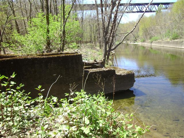
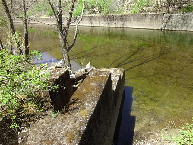
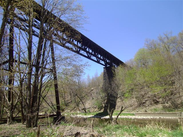
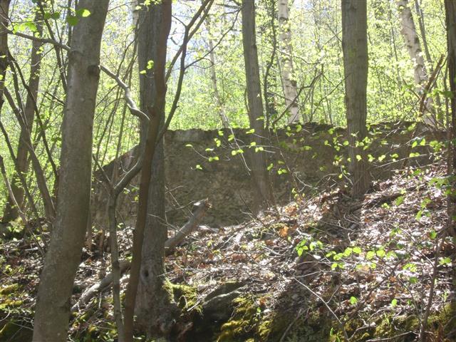
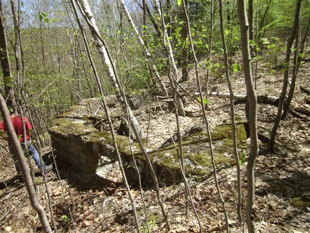
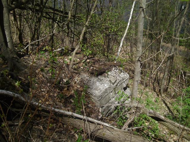
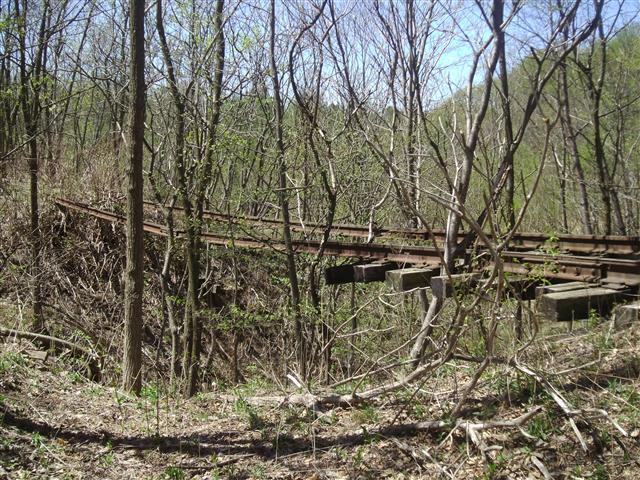
2011 Pictures


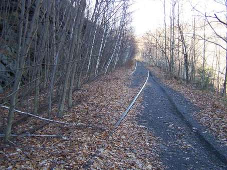
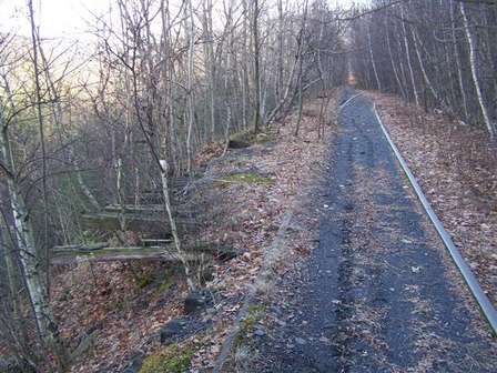
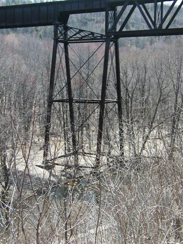
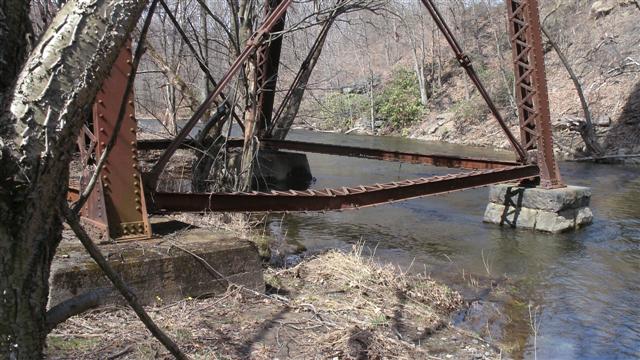
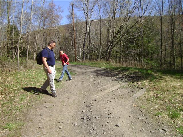
April 2013 pictures
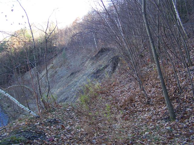
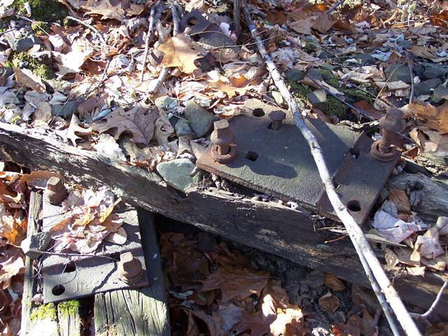
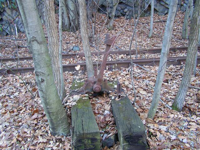
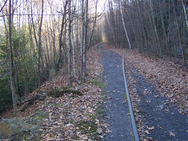
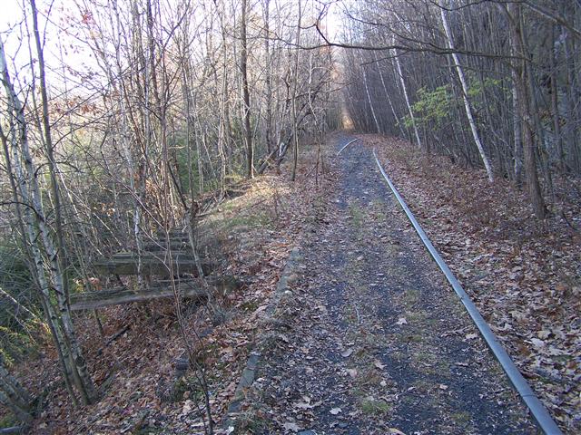
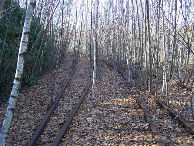
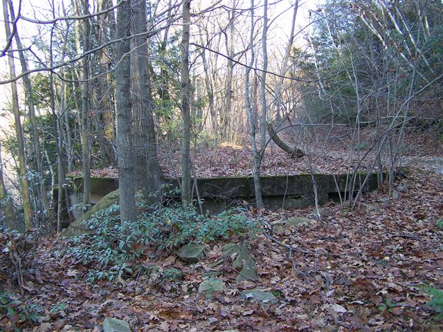
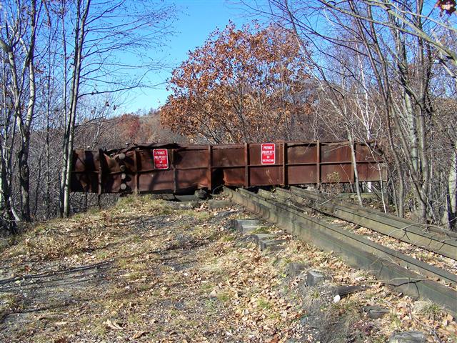
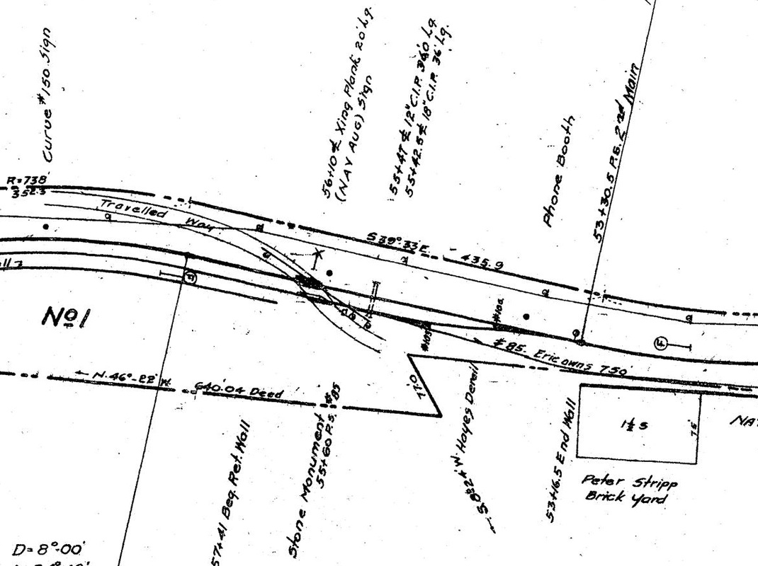
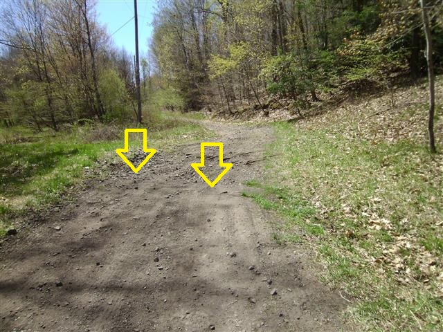
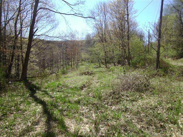
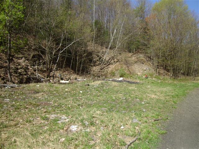
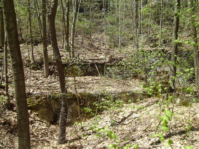
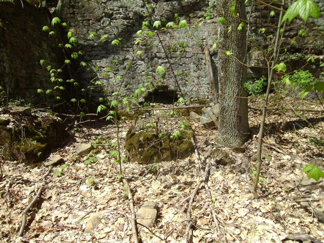
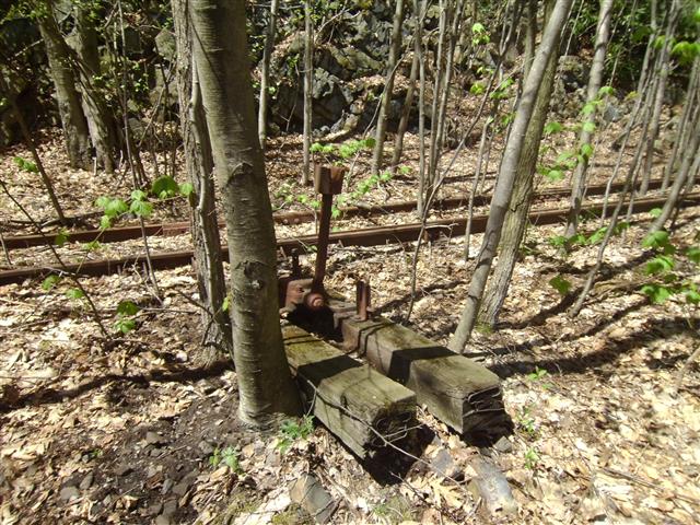
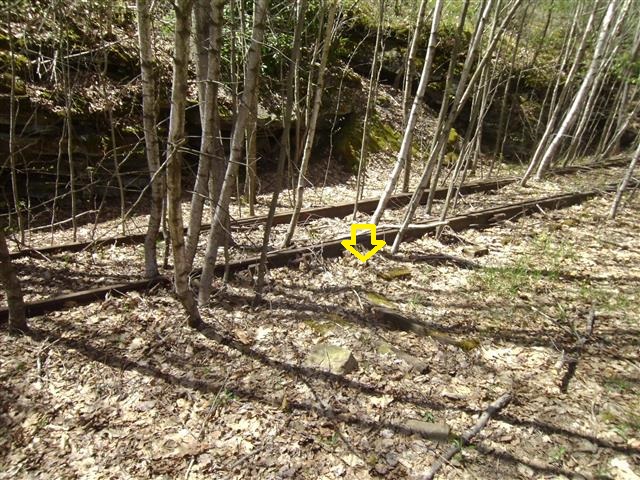
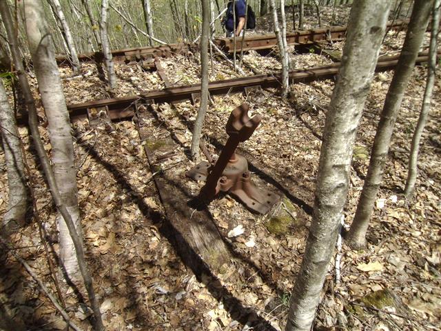
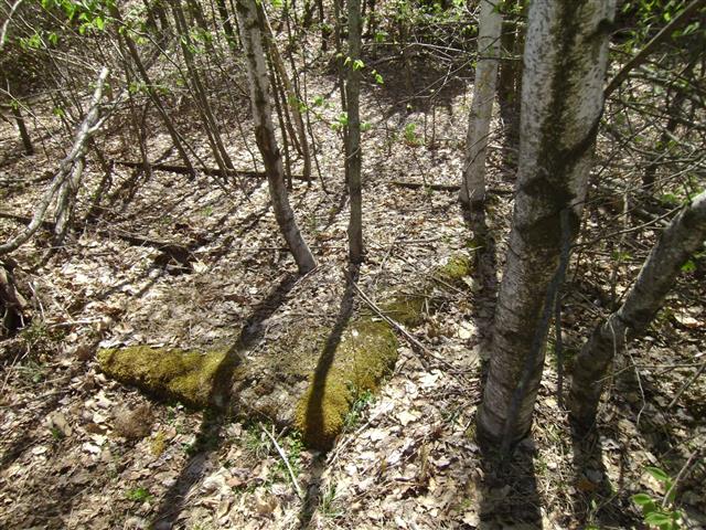
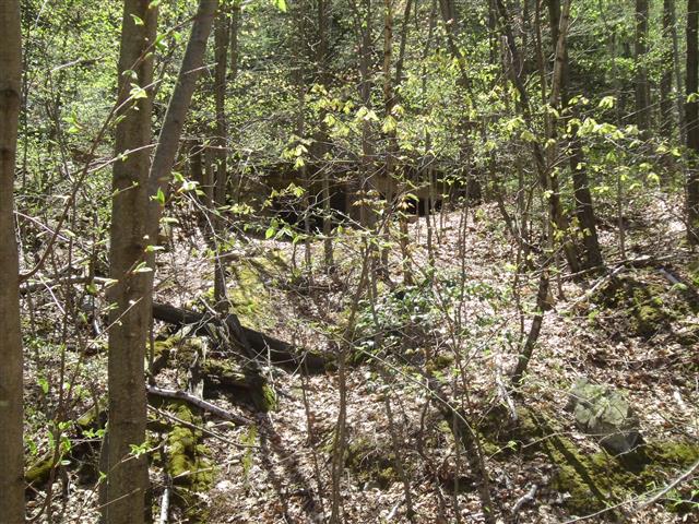
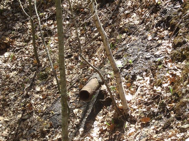
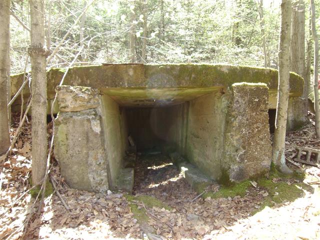
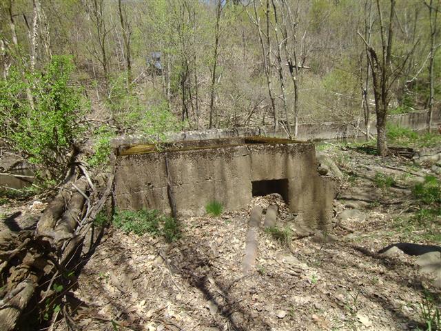
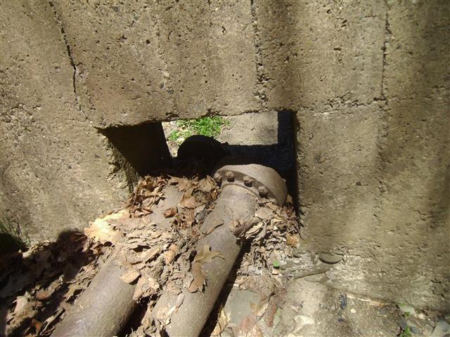
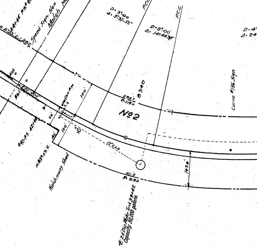
Recently I purchased valuation maps for the Erie from the Erie Lackawanna Historical Society. Printing out a few of these maps I wanted to see how much they can help in research. A good test is to head back to Rock Junction and see how much the maps can help in discovering artifacts and more about the tracks that once existed.


April 2020
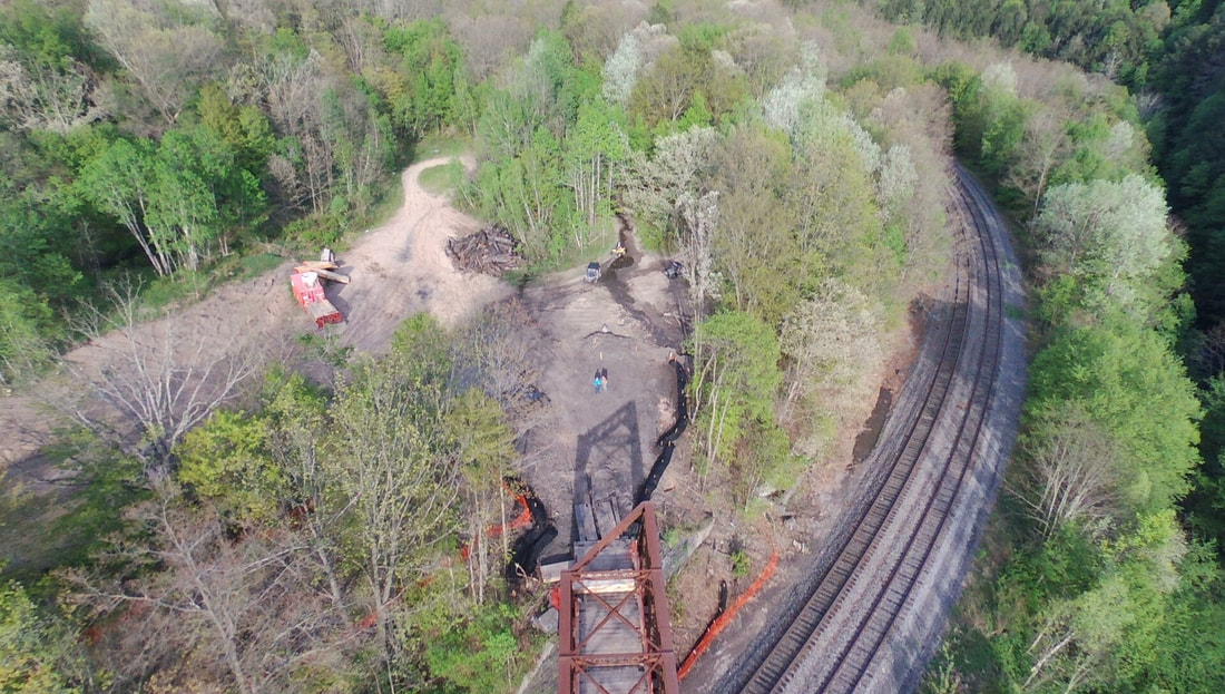
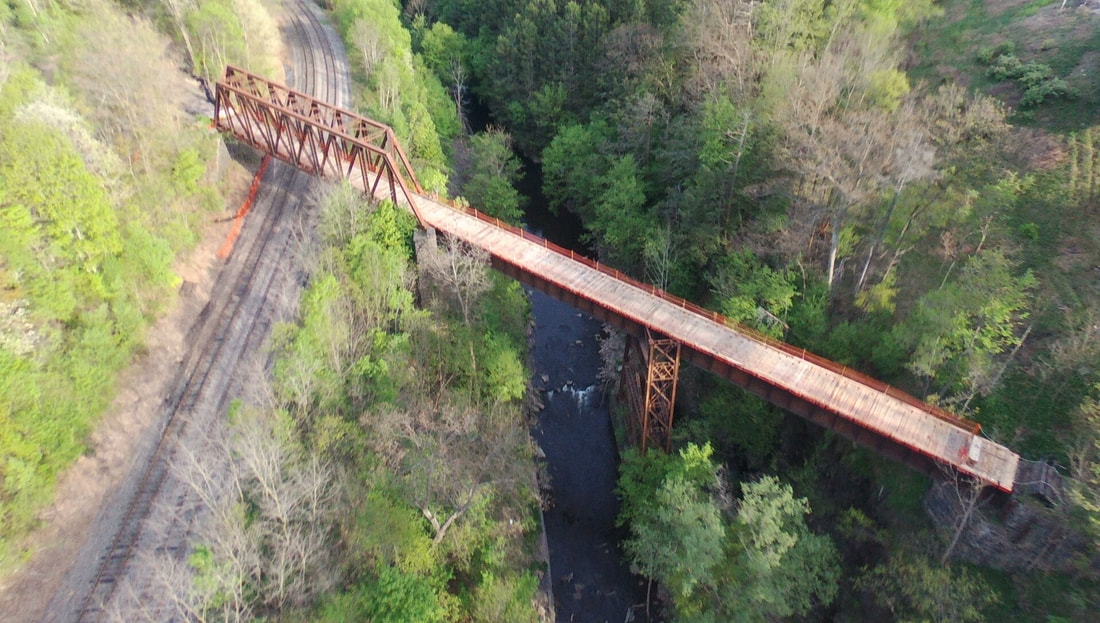
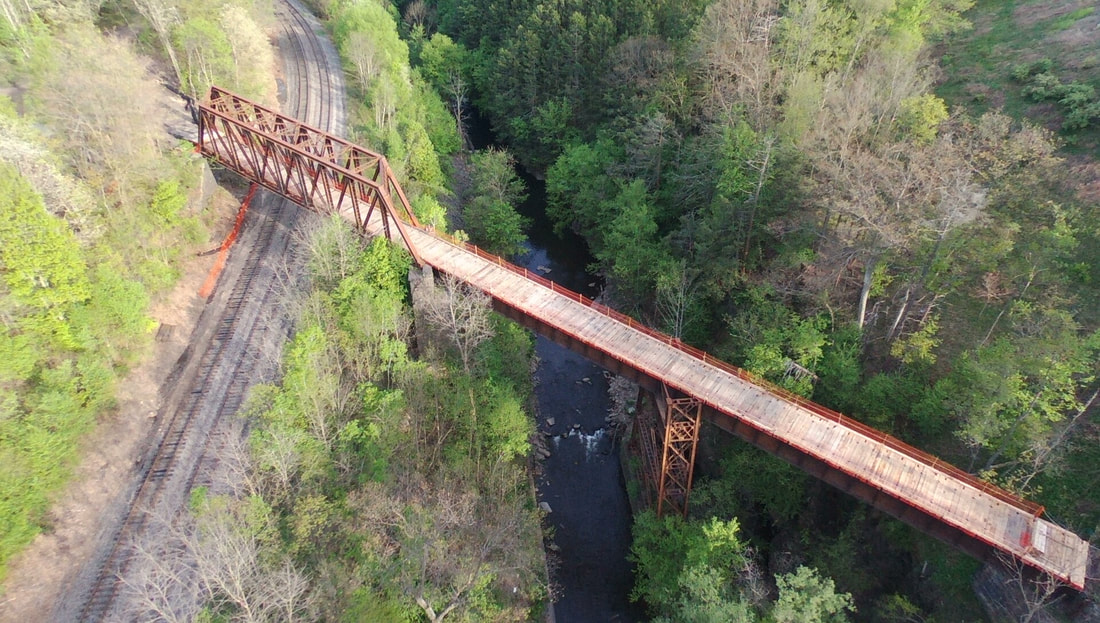
The bridge at Milepoint 18 is going to be re-purposed for construction vehicles because the twin I-380/84 bridges are going to be torn down and replaced. With the recent purchase of a drone, I took a detailed flight over the bridge just two weeks before it was changed.
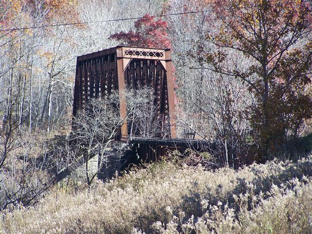
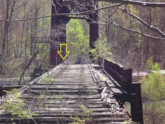
I also took a detailed flight over the Jessup Branch Viaduct at Rock Junction.
A few photos taken May 2020 showing the new deck on the Roaring Brook Bridge.