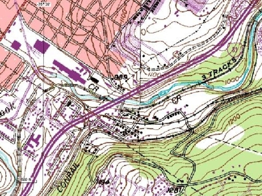
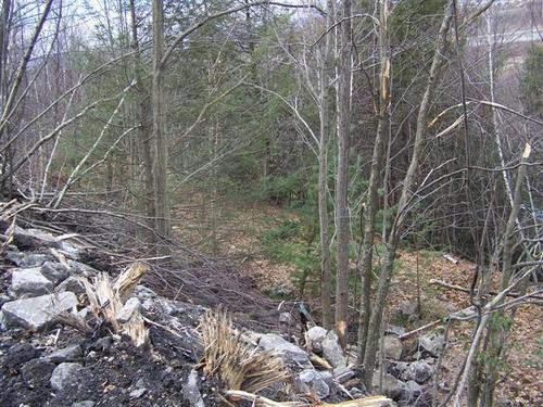
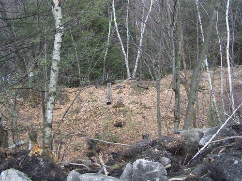
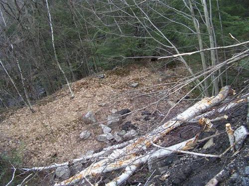
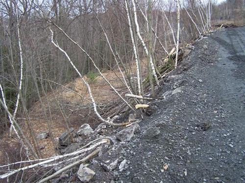
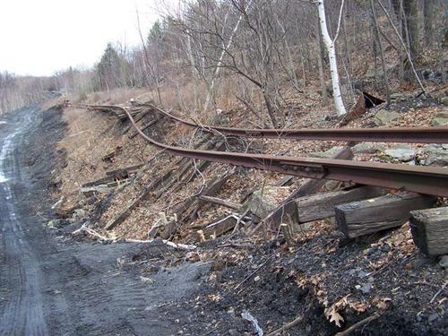
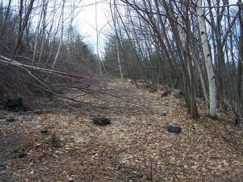
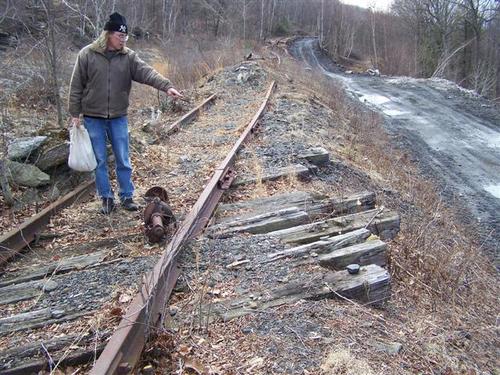
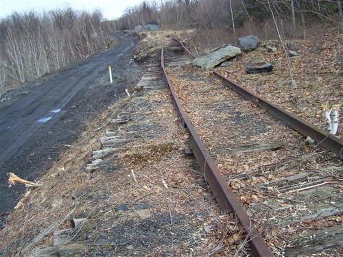
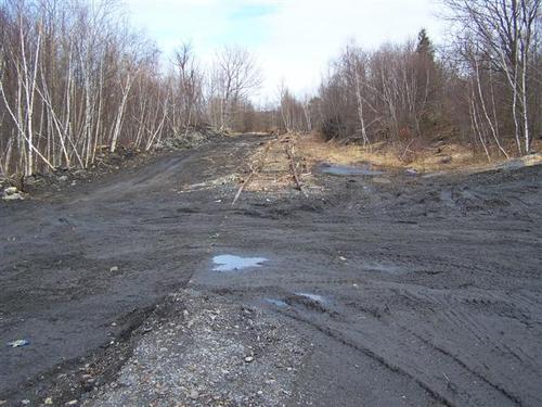
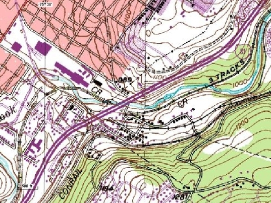
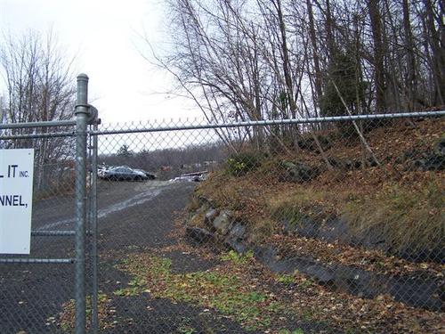
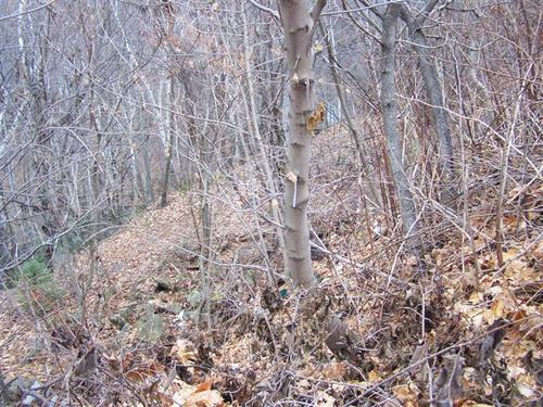
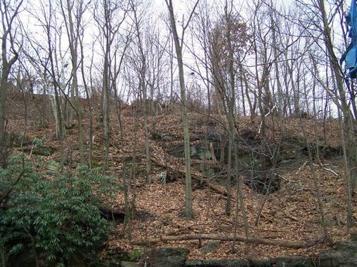
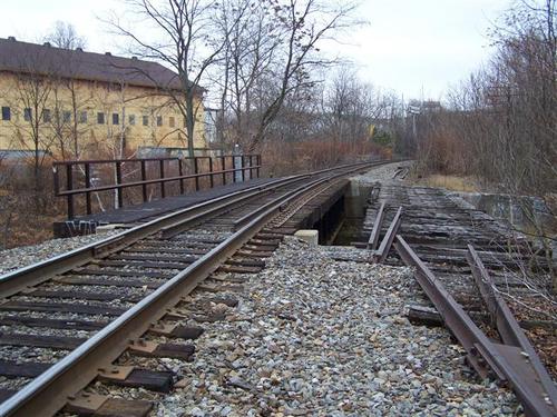
This topo map still shows the Erie's Wyoming Division as well as Haines Junction. There was another spur that came off and hugged Roaring Brook but that is now erased with the scrapyard. The first series of picture will show the connection to the Wyoming Division after the water tower base.
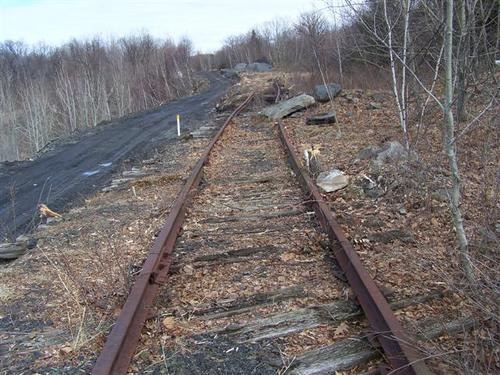
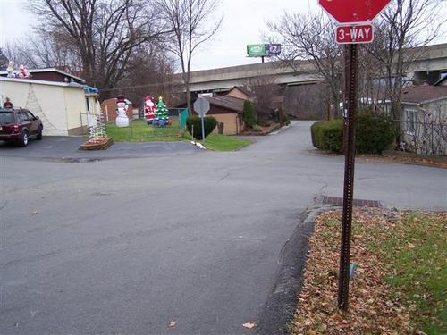
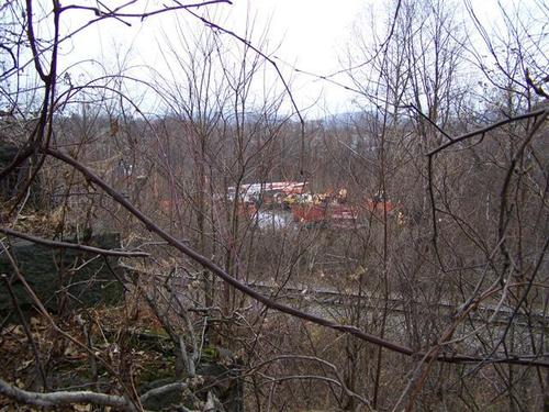
On a later date we went to the other side where the junction crosses several streets. Starting from the right and working left, the first crossing shown on this map was erased. This is below where the tracks are labeled "CR" It is listed as Bush St, but is now contained inside the scrapyard.
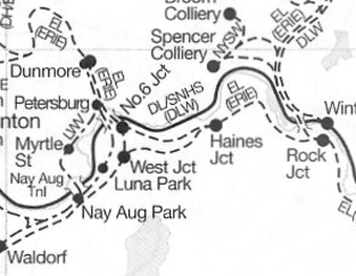
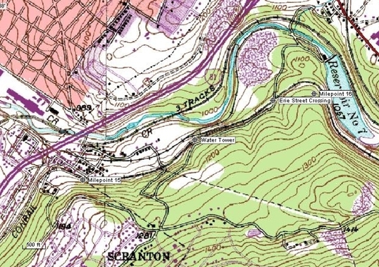
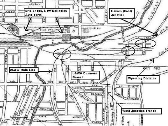
This snip from the SPV atlas shows the junctions.
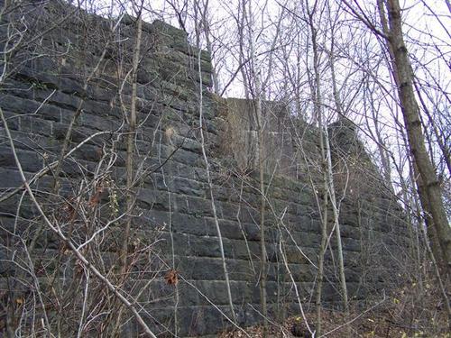
This is a 1930 map of Dunmore/Scranton. I added some annotations to help show the railroad lines and the street crossings. We did spot the abutments of the Laurel Line's Dunmore branch.
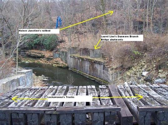
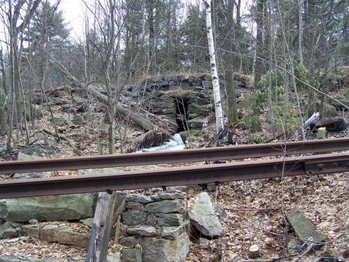
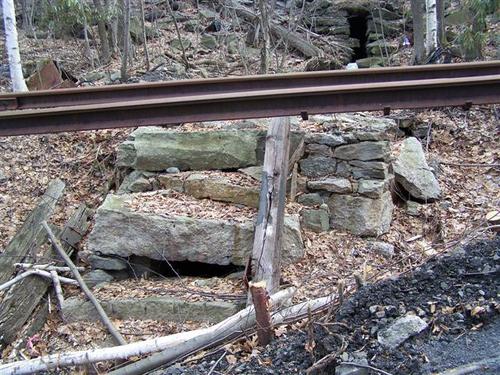
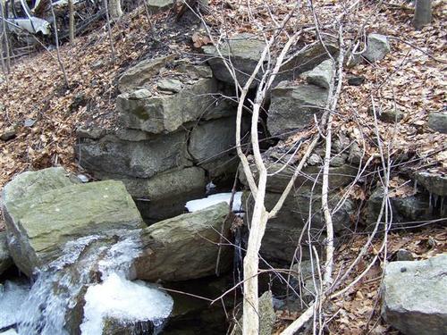
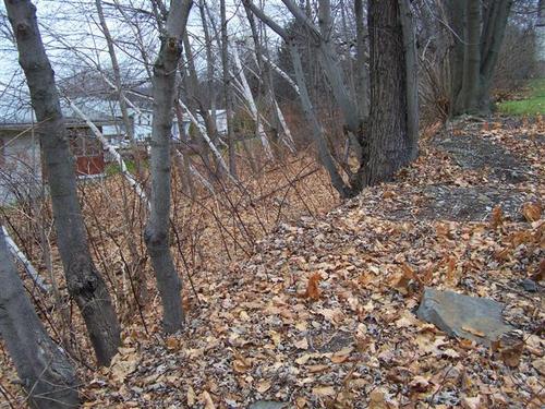
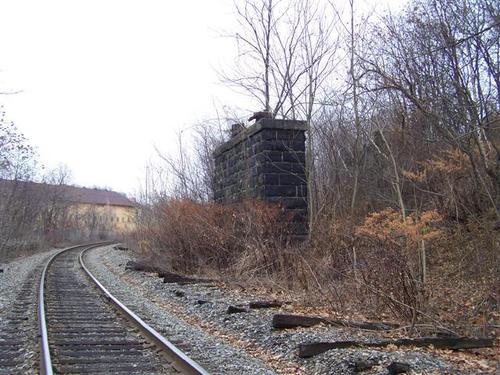
This picture was taken standing on the Lackawanna's tracks. The abandoned second track is seen on the bottom as well as the abutments of the Laurel Line and the railbed of Haines Junction.