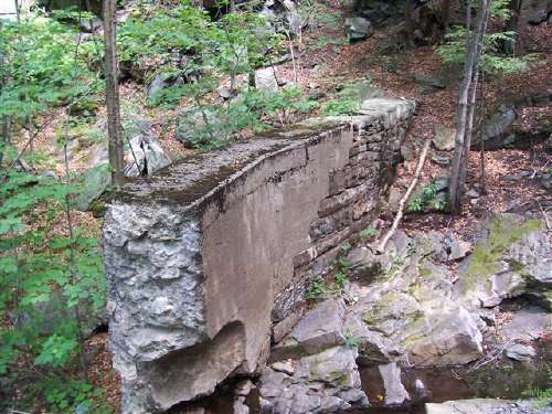
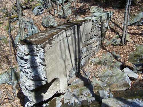
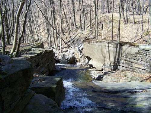
2005 Pictures


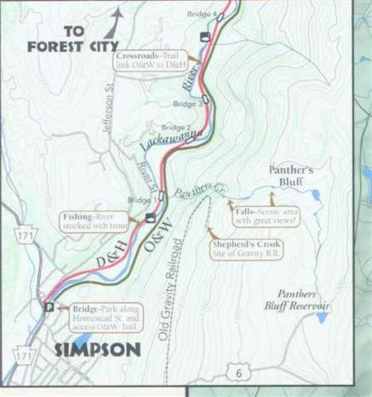
Map of area explored (2005)
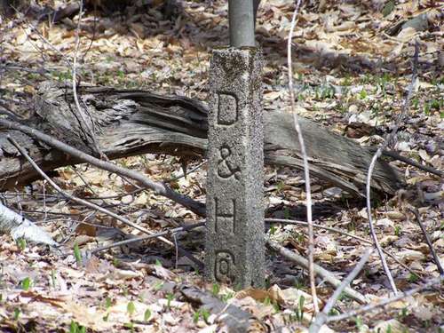
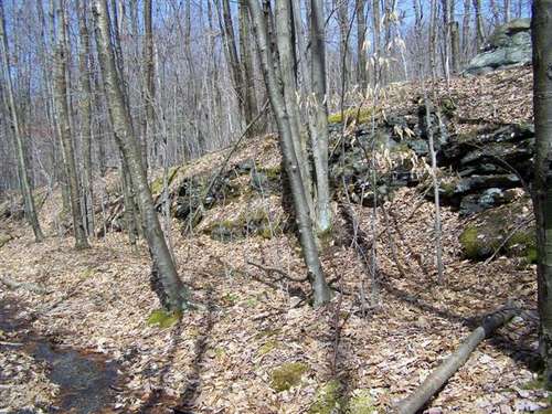
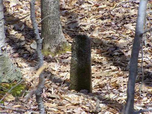
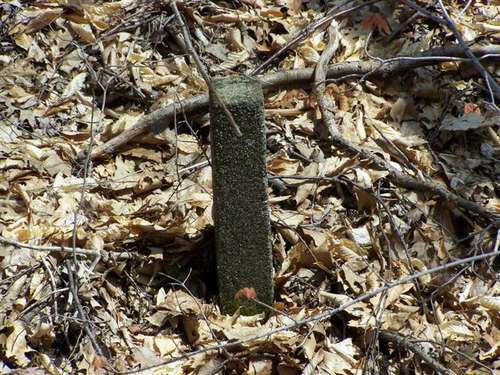
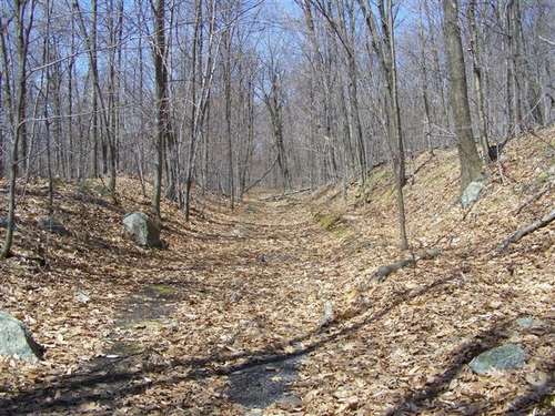
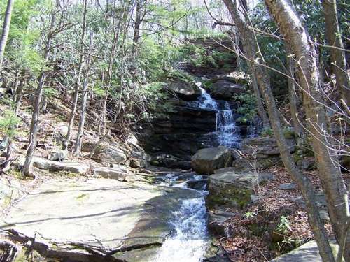
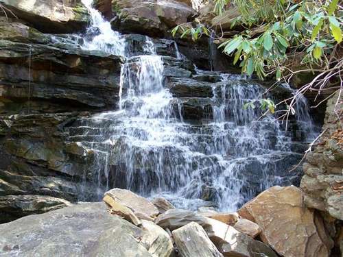
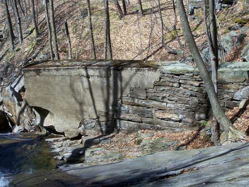
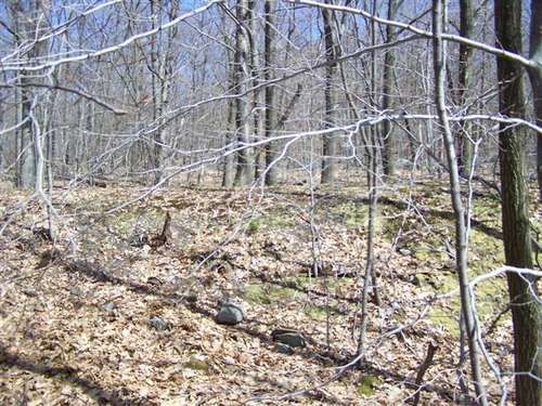
2008 Pictures
We went back to collect some GPS data and with the growth down to get better pictures.


A video clip of the waterfalls
Map of area explored (2008)
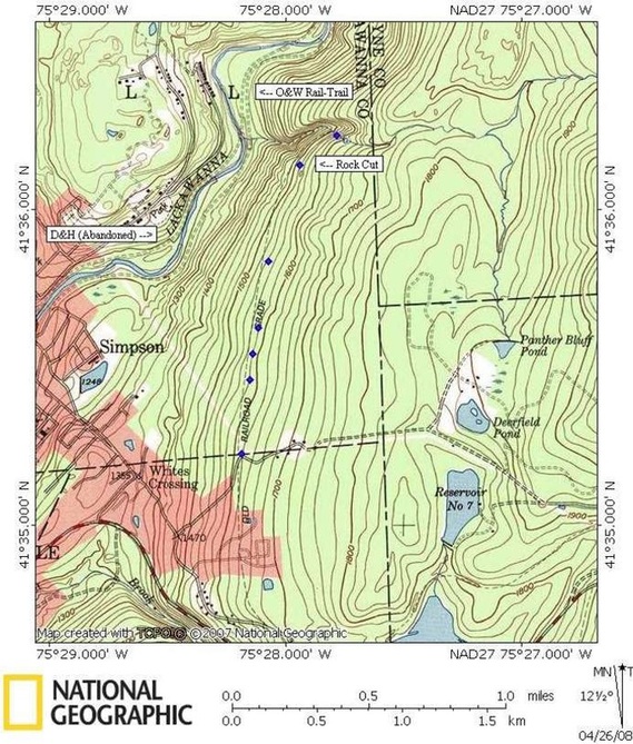
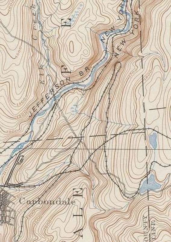
Here is a
historic USGS map made in 1890 showing the gravity line. The larger rock
cut we saw must be the top loop as the line curves back down on its way
to Honesdale. Although not fully shown the D&H's Pennsylvania Division is
listed as "Jefferson Branch. New York, Lake Erie & Western Railroad".
The New York O&W is also shown here as well.