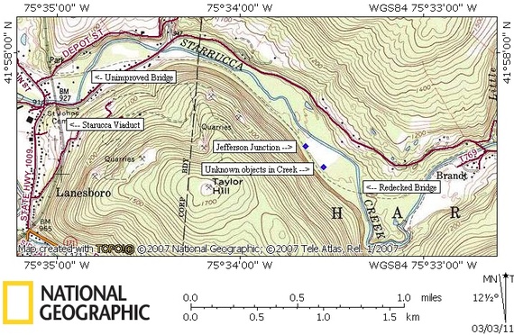
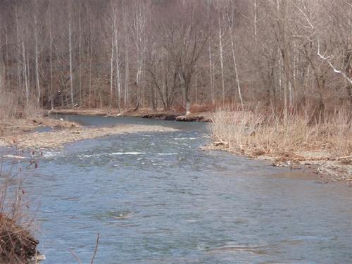
2006 Pictures
Map of area explored (2006)
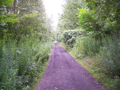
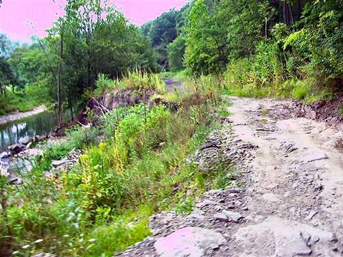
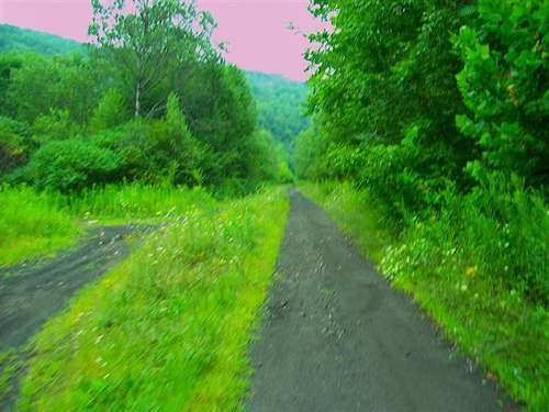
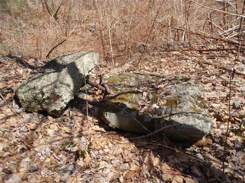
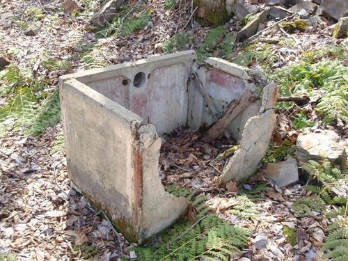
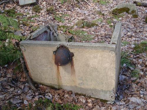
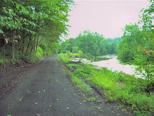
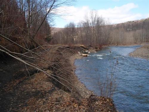
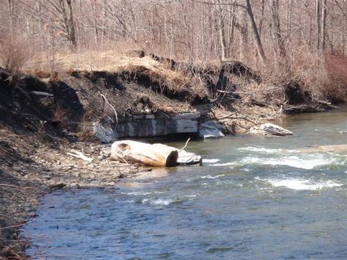
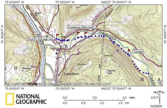
2009 Pictures
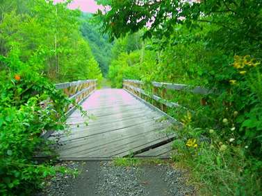
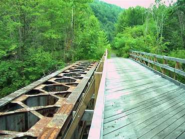
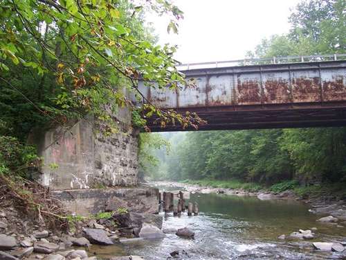
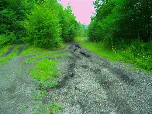
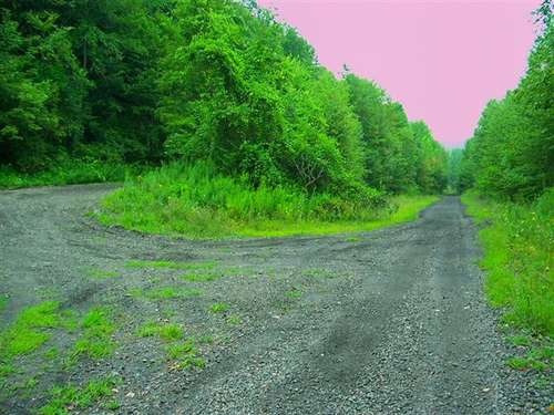
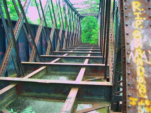
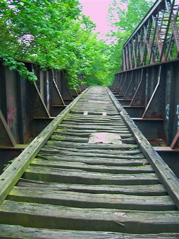
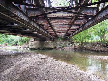
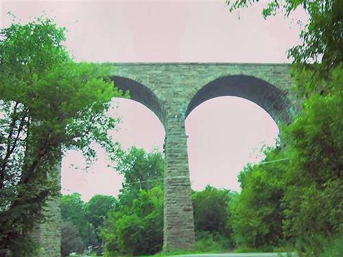
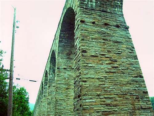
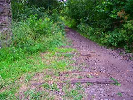
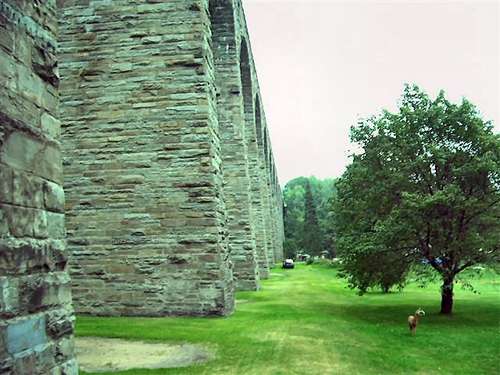
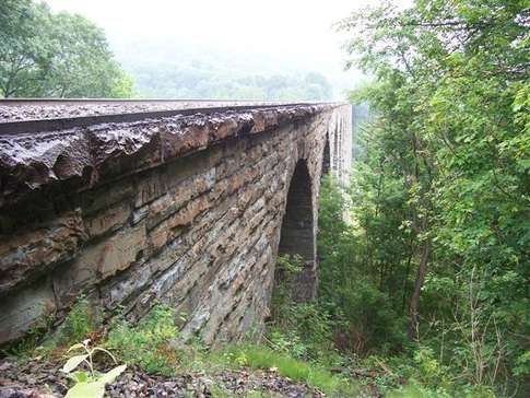
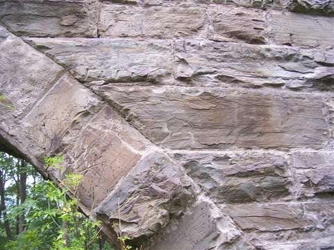
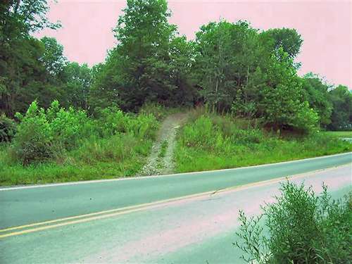
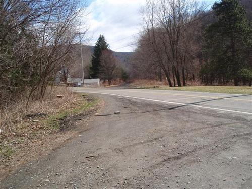
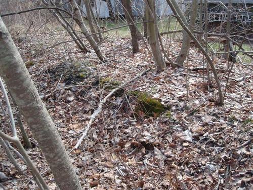
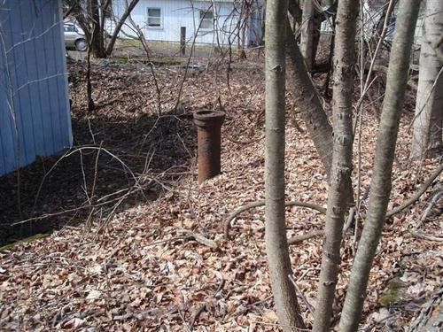
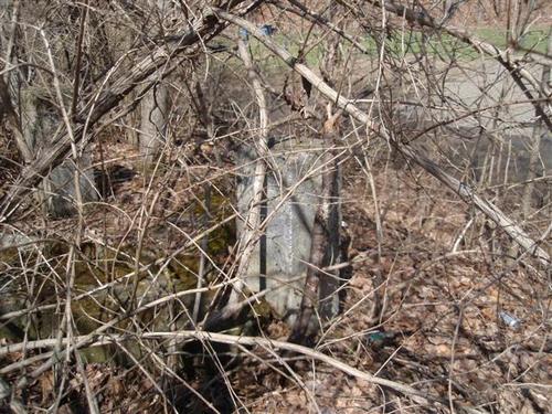
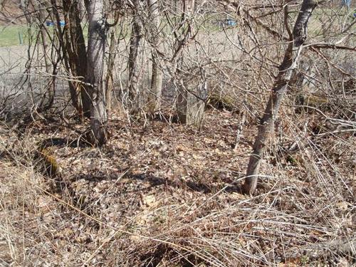
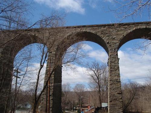
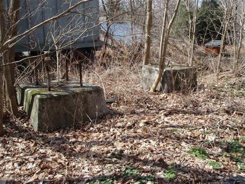
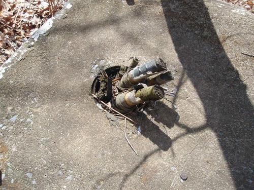
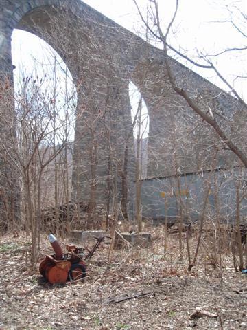
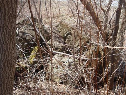
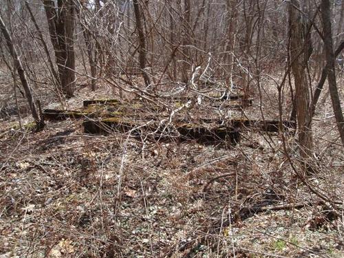
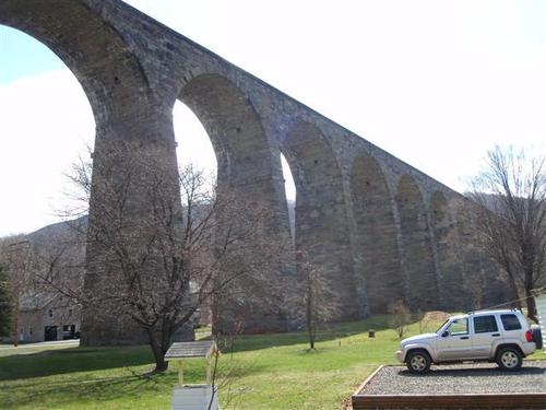
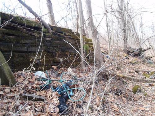
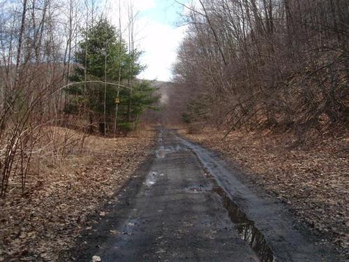
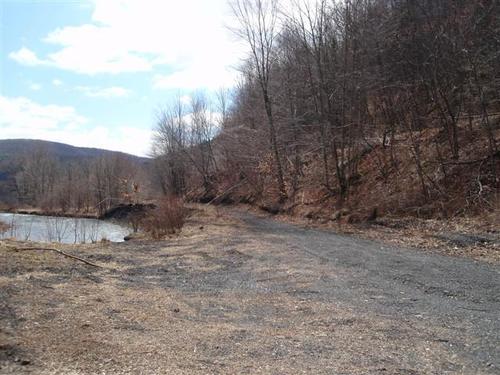
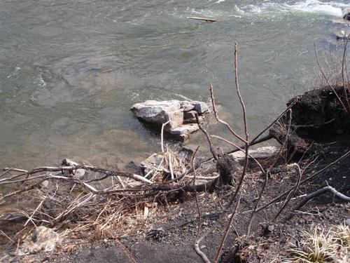
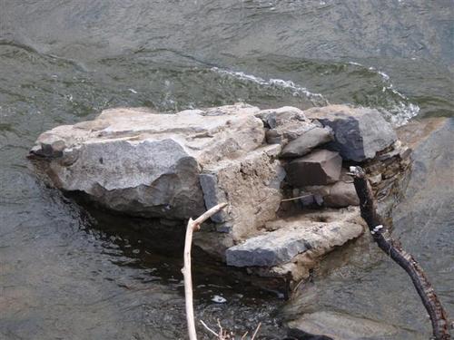
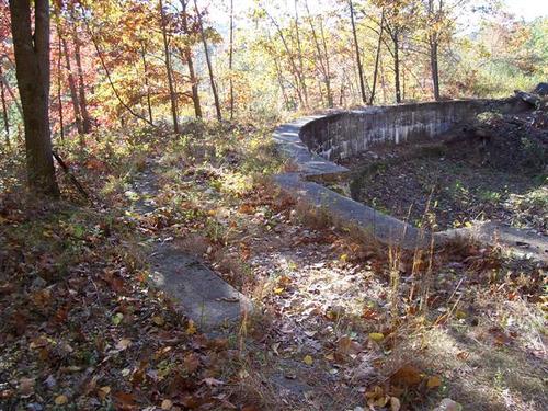
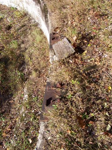
We returned to
this area to search for more artifacts. The combination of more maps and
this time of year when the growth is still down helped quite a bit. We
parked were the railroad bed intersects a road near Lanesboro. We first walked north past the viaduct then went south towards Brandt. The changes we saw over the past 3 years was amazing.
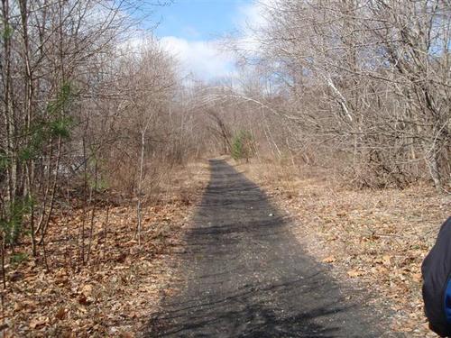


Map of area explored (2009)
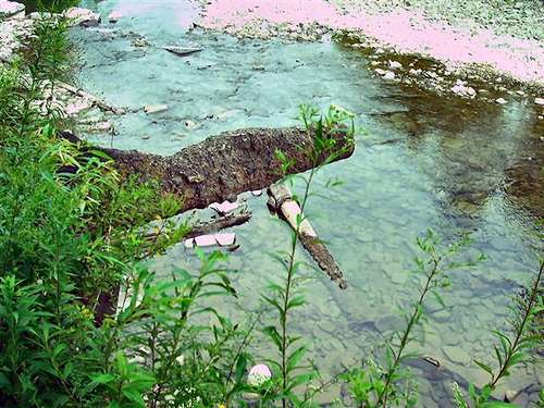
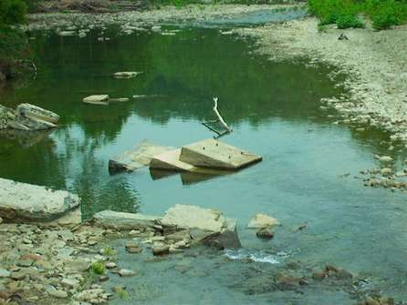
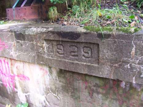
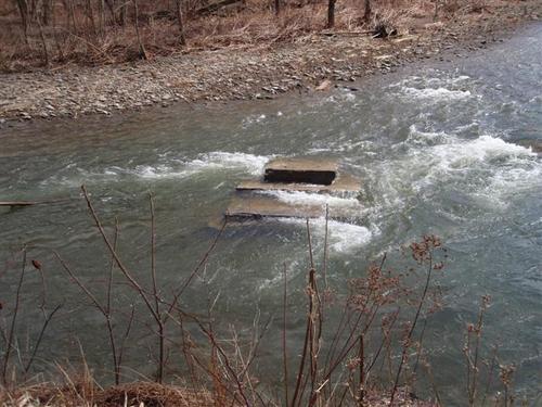
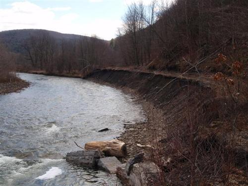
This is a
section of a USGS Topographical map that shows how Starucca Creek
flowed. Comparing it to the above map, the change in the creek's
direction over the years is seen.
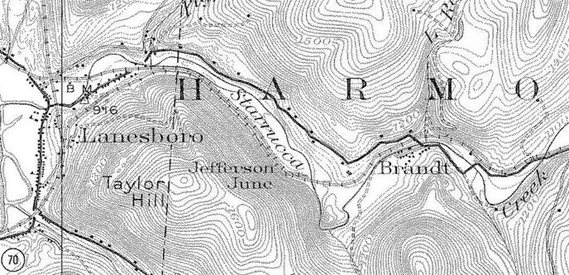
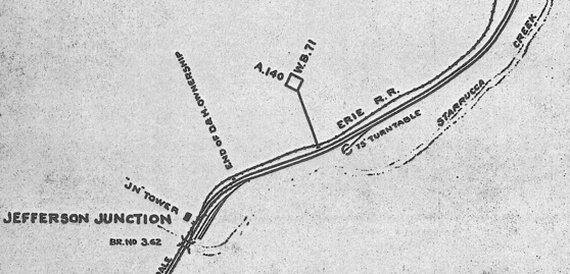
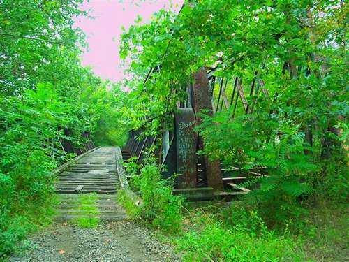
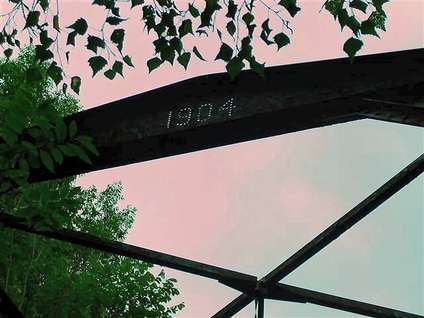
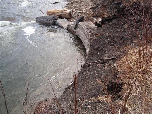
This track
schematic from 1937 shows the location of the turntable and the "JN
Tower" This also showed (although it is hand drawn) that the creek's
path was different back then.