Abandoned Railroads of Northeast Pa
  • Whats New
  • About Me
  • Guestbook
  • Erie Railroad
  • NY O&W Railroad
  • CNJ Railroad
  • D&H Railroad
  • PCC Gravity Railroad
  • DL&W Railroad
  • SM&B Railroad (Northern Electric)
  • WB&E Railroad
  • L&WV Railroad (Laurel Line)
  • PRR Railroad
  • Lehigh Valley Railroad
  • Old Route 611 (Drinker Turnpike)
  • Rail Excursions & Festivals
  • Links
  • Underground Miners Tours
  • Olyphant Mine Fire
  • Model Railroading
  • Other Stuff

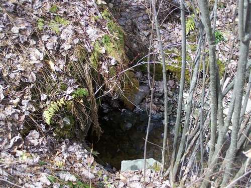
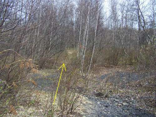
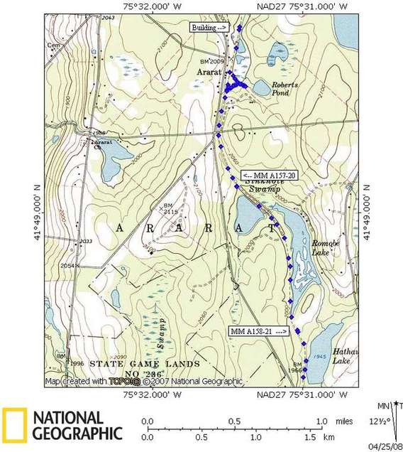
Map of area explored

Picture

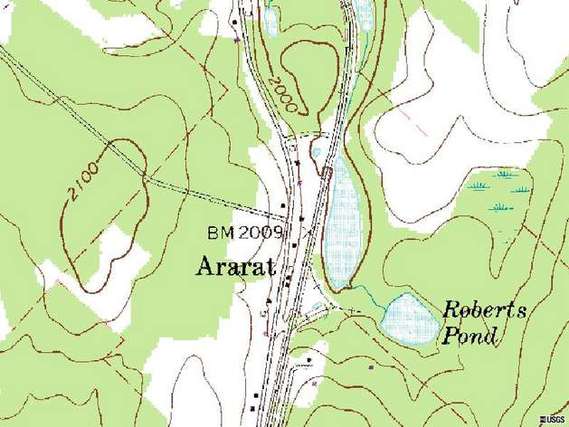
An older topo map showing the wye

Picture

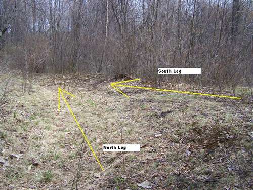
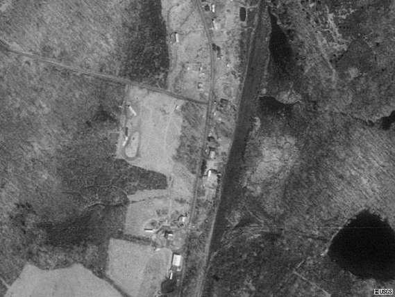
Satellite view still shows the outline of the WYE.
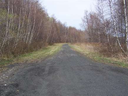
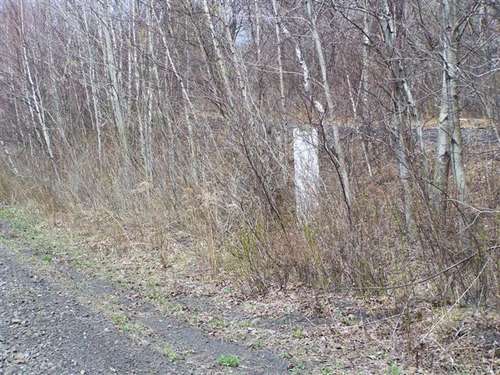
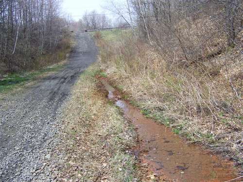
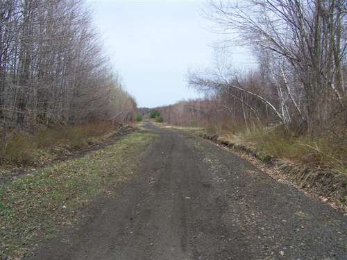
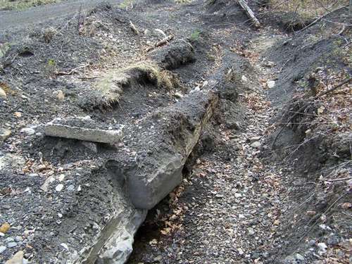
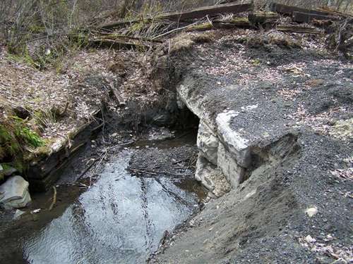
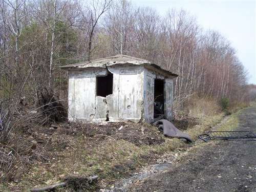
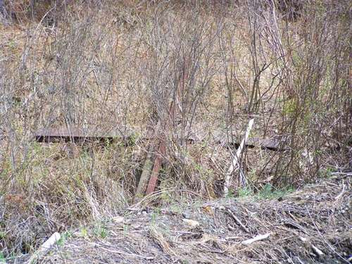
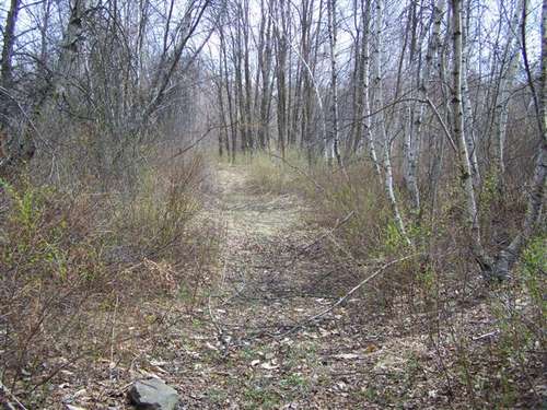
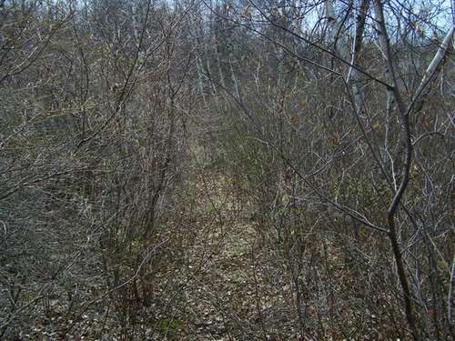
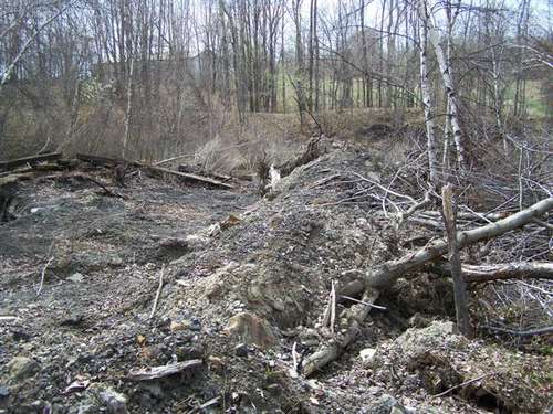
Picture
This track 
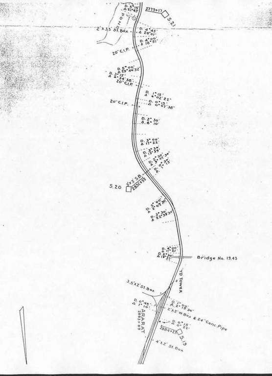
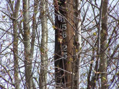
schematic from 1937 shows the WYE and tracks. Note the mile markers used the smaller numbers. The time this map was made it was known as the "Jefferson Branch" of the Erie railroad. This map is inverted with south being the top of the map.
Picture
Powered by Create your own unique website with customizable templates.