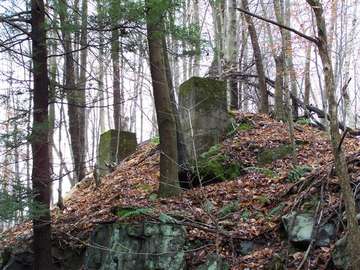
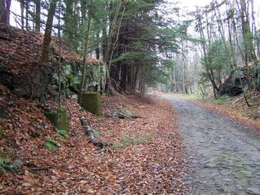
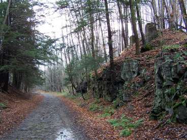
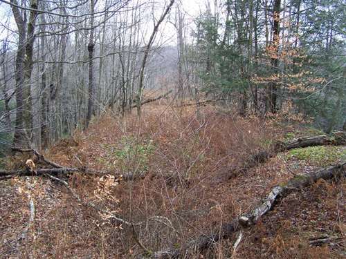
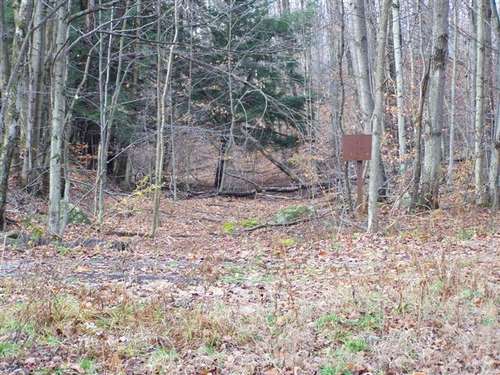
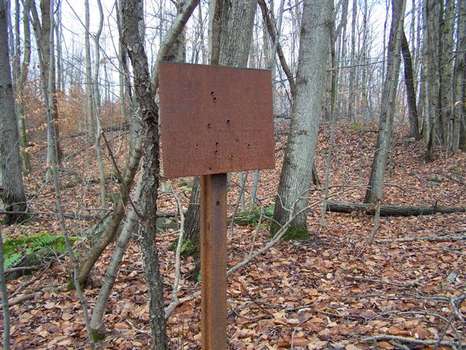
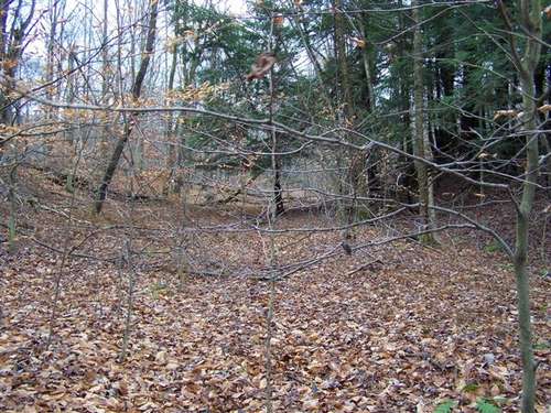
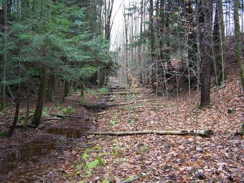
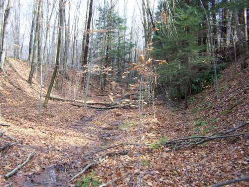


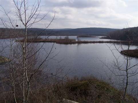
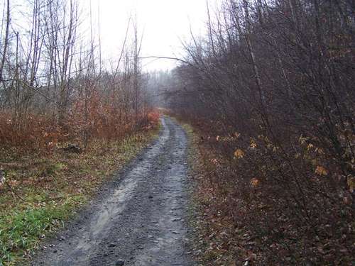
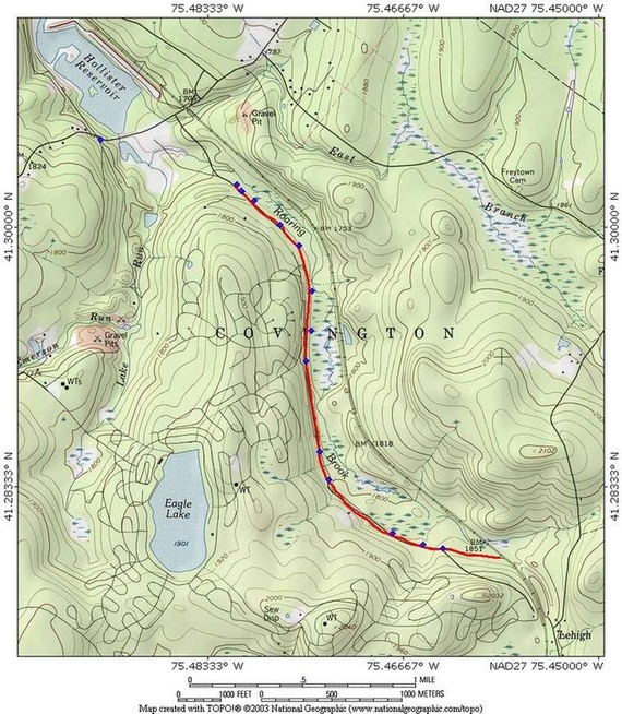
Maps of area explored
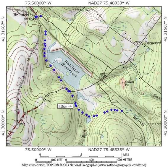
This map was from a previous walk
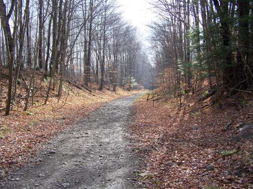
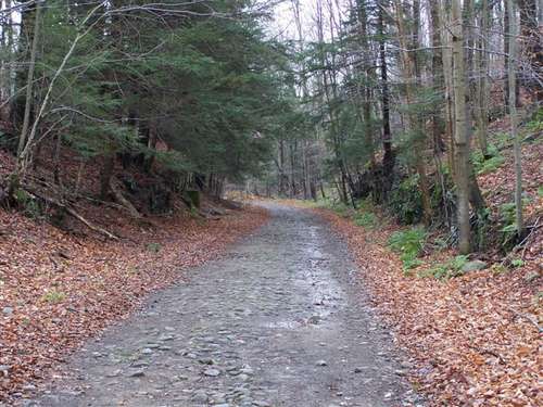
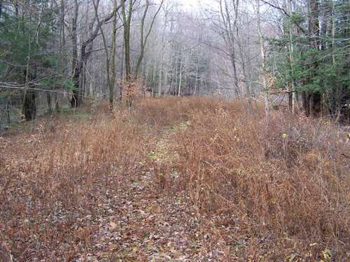
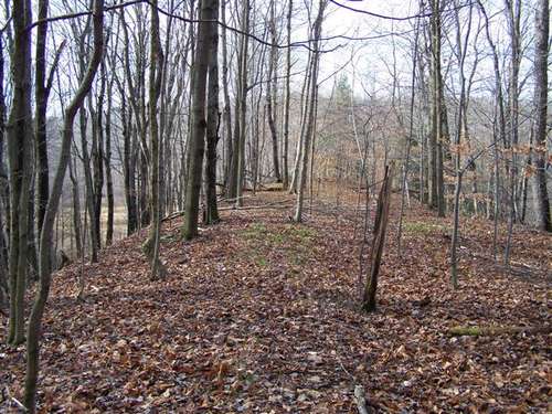
This map shows how Lehigh road runs over the old railbed then breaks back off to head back to the active tracks.
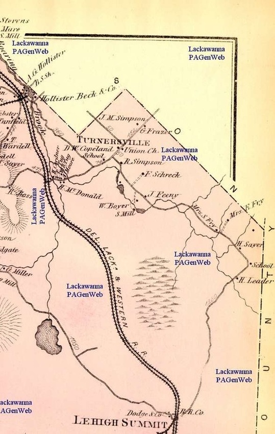
I found this
map made in 1873 and it turns out the railbed we followed was an old
alignment of the DL&W. Although its not a topo map where the
railroad once crossed the existing road and comparing it to the current
topo maps shows that this was the old alignment. The Lehigh Wye can be seen at the bottom and there is a page for that.